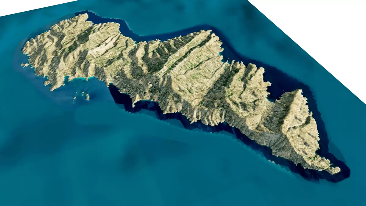
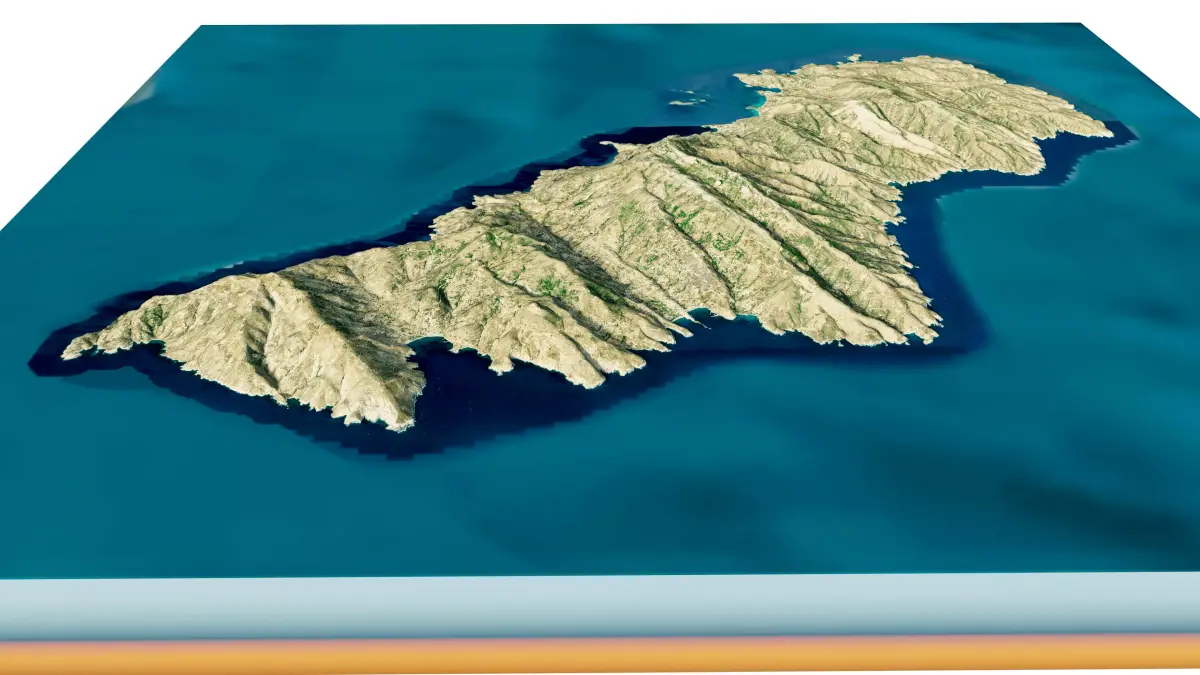
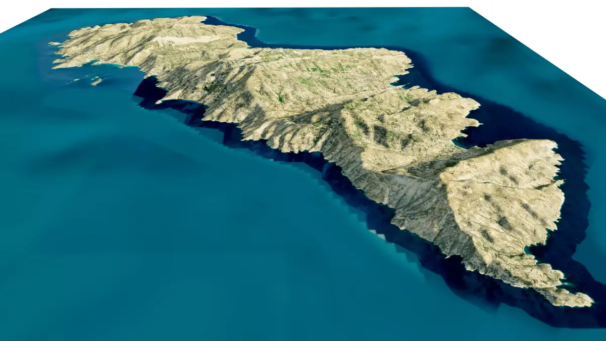
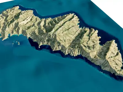
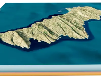
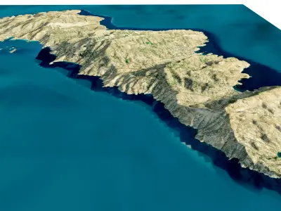
Andros Island 3D model terrain. 3d model island of Andros, Greece with its landscape of mountains, beaches and forests.
3d model landscape of Andros Island, Cyclades archipelago, South Aegean, Aegean Sea, Greece.
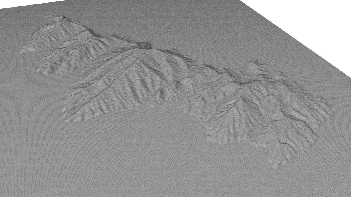
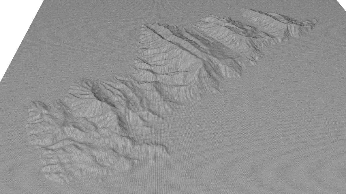
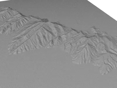
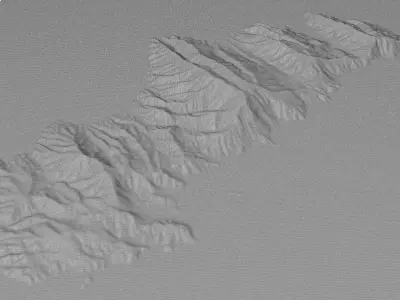
High Poly meshHigh detailed model
with 12K textures
- Diffuse map
- AO map
- Displacement map
- Normal map
- Roughness map
The Blend file do not require the displacement, but you can still use it if you want to create other terrain model yourself
texture example from the Andros Island, Cyclades archipelago, South Aegean, Aegean Sea, Greece. Andros is the northernmost island of the Greek Cyclades archipelago, about 10 km southeast of Euboea, and about 3 km north of Tinos. It is nearly 40 km long, and its greatest breadth is 16 km. It is for the most part mountainous, with many fruitful and well-watered valleys. Palaeopolis, the ancient capital, was built into a steep hillside, and the breakwater of its harbor can still be seen underwater.
STL (Stereolithography, filesize: 30.9 MB), OBJ (OBJ, filesize: 40.6 MB), BLEND (Blender, filesize: 12 MB), FBX (Autodesk FBX, filesize: 41.1 MB), PNG (PNG, filesize: 189 MB)