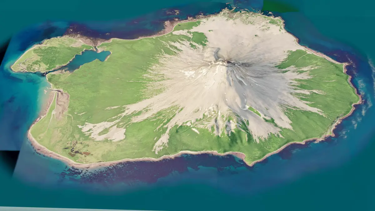
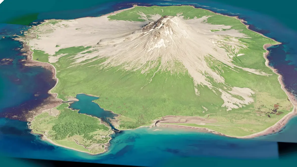
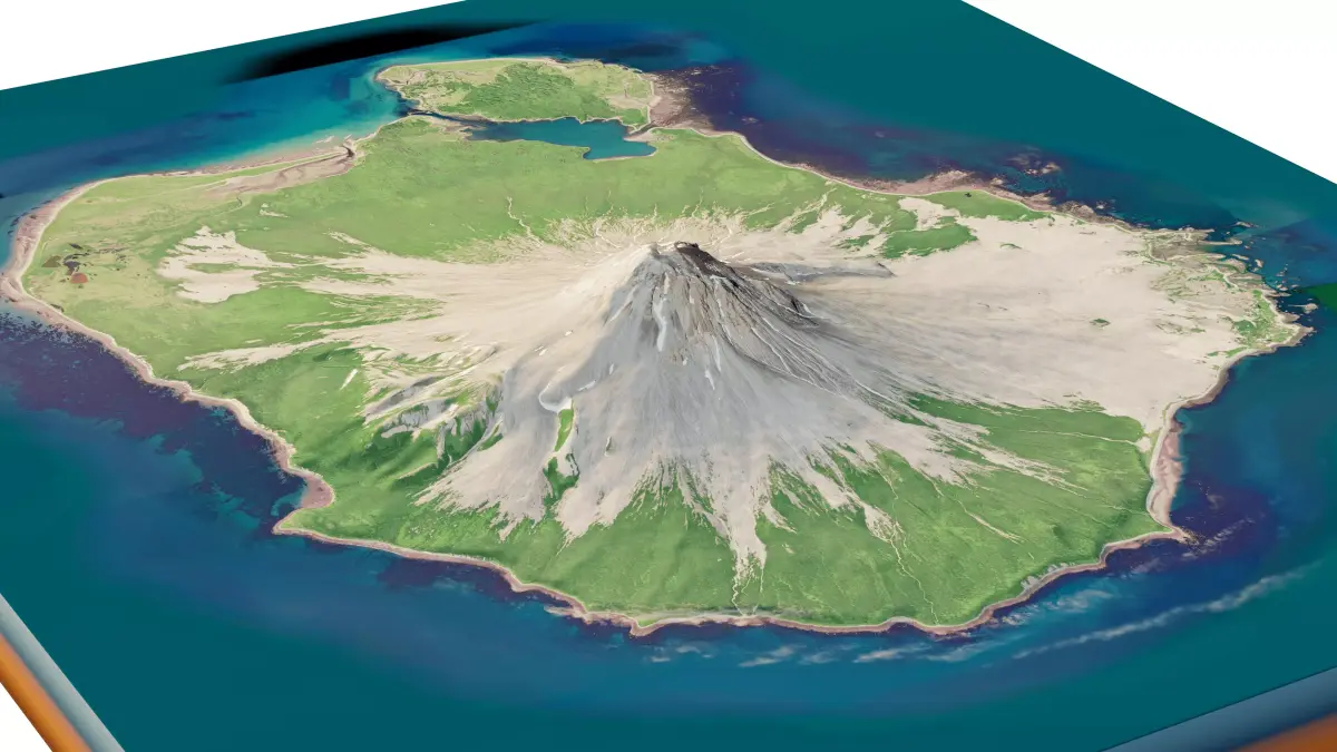
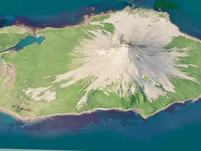
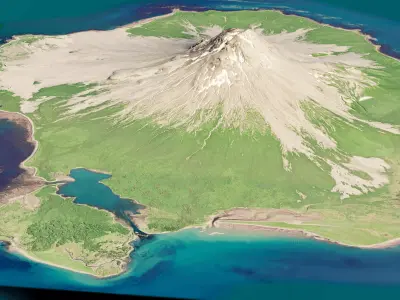
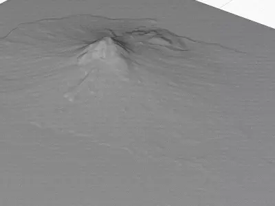
Augustine island 3D model terrain. 3d model island of Augustine, Alaska and with its landscape of mountains, beaches and forests.
3d model landscape of Augustine island, Cook Inlet, Alaska, U.S.
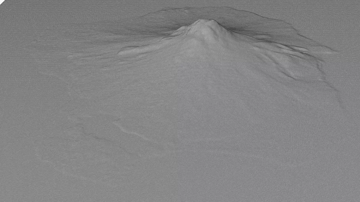
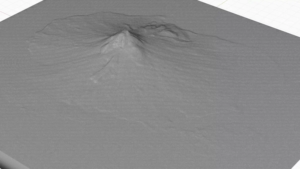
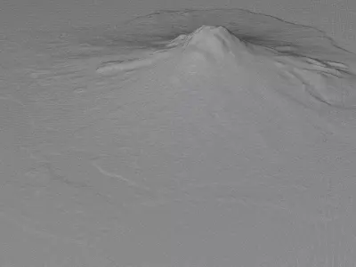
High Poly meshHigh detailed model
with 10K textures
- Diffuse map
- AO map
- Displacement map
- Normal map
- Roughness map
The Blend file do not require the displacement, but you can still use it if you want to create other terrain model yourself
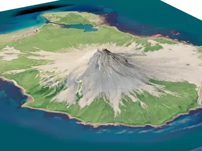
texture example from the Augustine island, Cook Inlet, Alaska, U.S. Augustine Island, an 8 by 11 km island in lower Cook Inlet, is composed almost entirely of the deposits of Augustine Volcano. Augustine Volcano is a stratovolcano in Alaska consisting of a central complex of summit lava domes and flows surrounded by an apron of pyroclastic, lahar, avalanche, and ash deposits. The volcano is frequently active, with major eruptions recorded in 1883, 1935, 1963–64, 1976, 1986, and 2006.
STL (Stereolithography, filesize: 44.7 MB), OBJ (OBJ, filesize: 61.5 MB), FBX (Autodesk FBX, filesize: 63.4 MB), PNG (PNG, filesize: 168 MB), BLEND (Blender, filesize: 17.9 MB)