Publication date: 2023-04-24
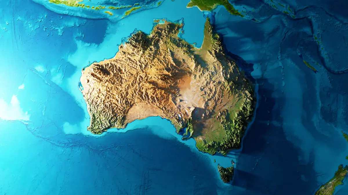
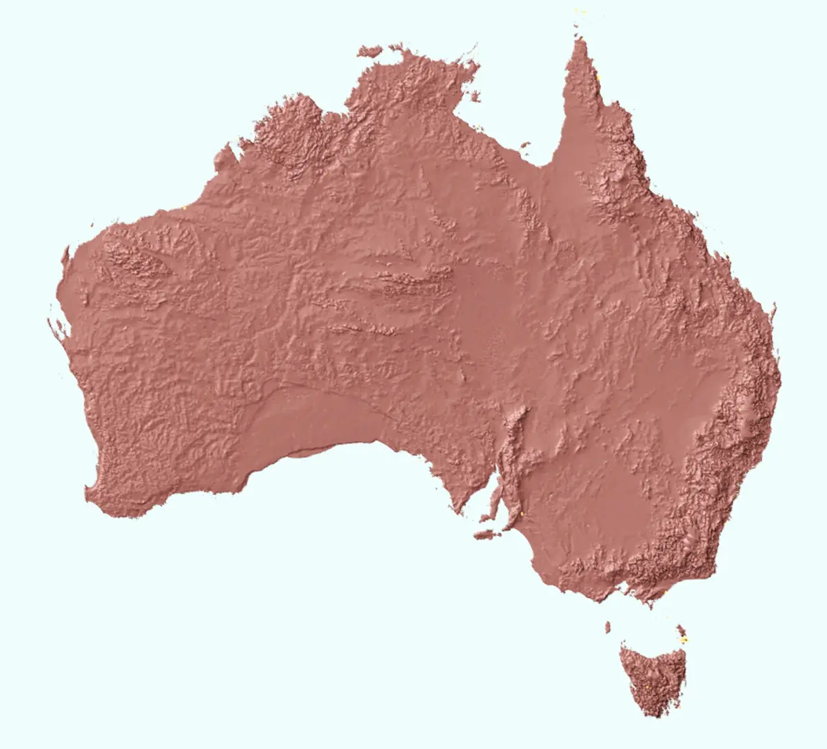
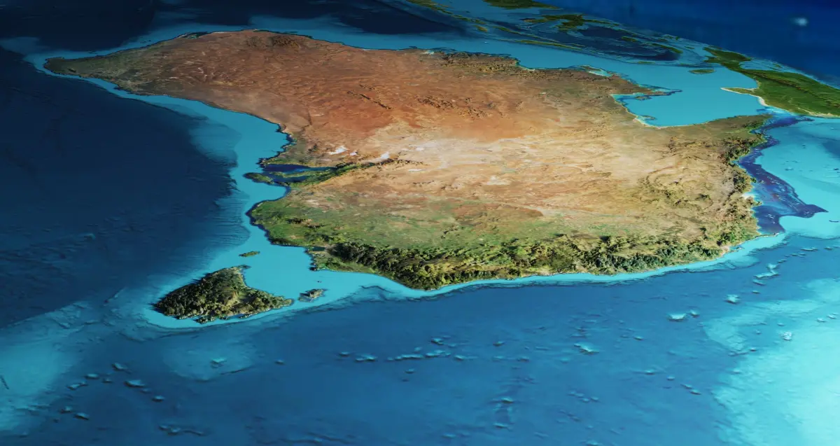
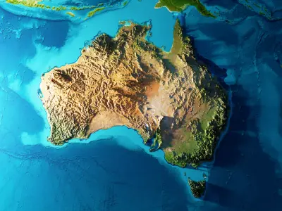
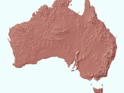
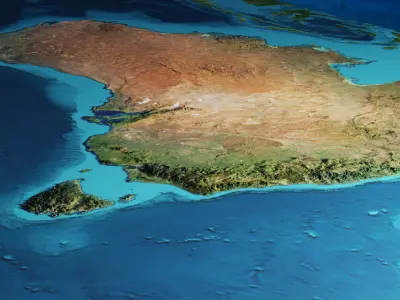
Buy Australia Terrain 3D model
$15
License: Custom
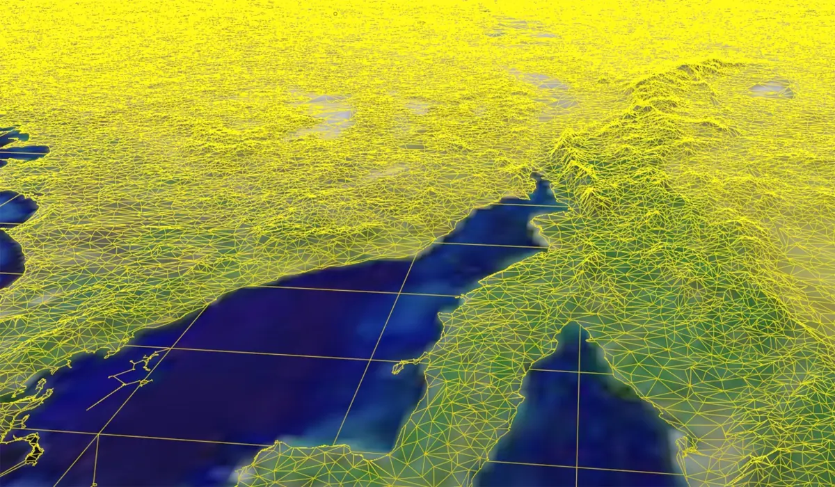
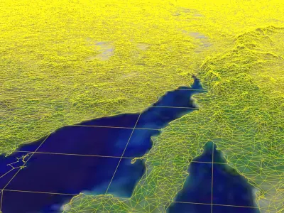
3D Model details
- cgtrader Platform
- Animated
- Rigged
- Ready for 3D Printing
- VR / AR / Low-poly
- PBR
- Textures
- Materials
- UV Mapping
- Polygons: 0
- Vertices: 0
- Geometry: Polygon mesh
Similar models


Find the models you need