
Publication date: 2017-08-26
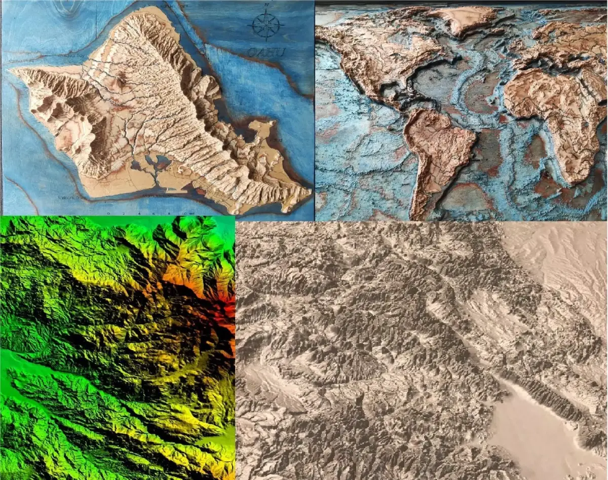
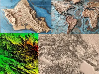
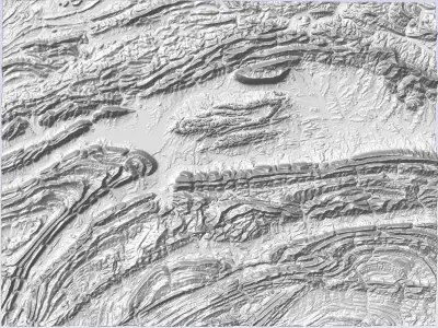
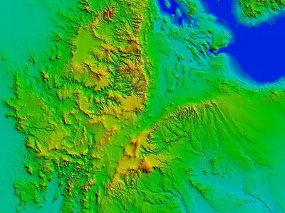
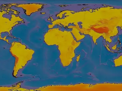
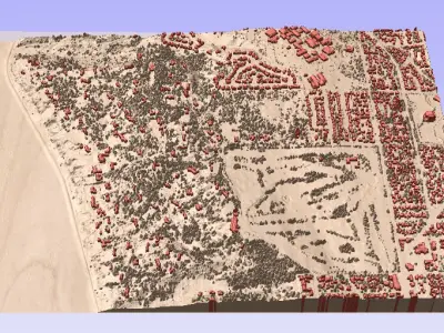
Buy Custom 3d terrain topo model of any place in the world Low-poly 3D model
$50
License: Royalty Free
author:
3dmapart
3D Model details
- cgtrader Platform
- Animated
- Rigged
- Ready for 3D Printing
- VR / AR / Low-poly
- PBR
- Textures
- Materials
- UV Mapping
- Polygons: 0
- Vertices: 0
- Plugins used
- Geometry: No N-gons | No faceted geometry | Manifold geometry |
Similar models


Find the models you need