Dubai Real-Scale 3D Map - 2025 Gis Data 3D model
Home Catalog Dubai Real-Scale 3D Map - 2025 Gis Data 3D model

Publication date: 2025-12-14
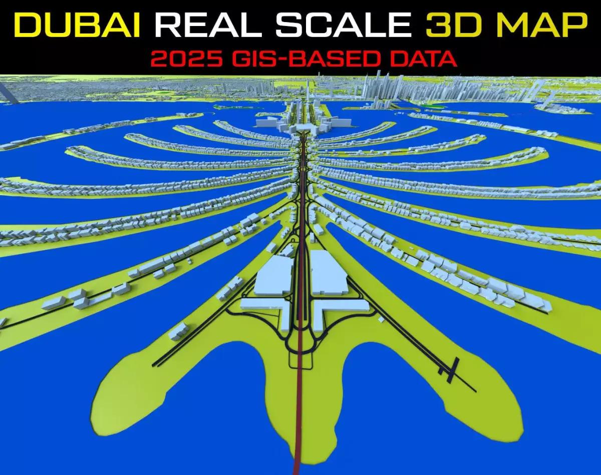
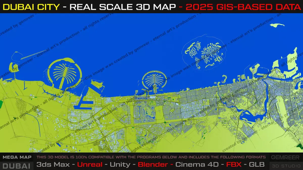
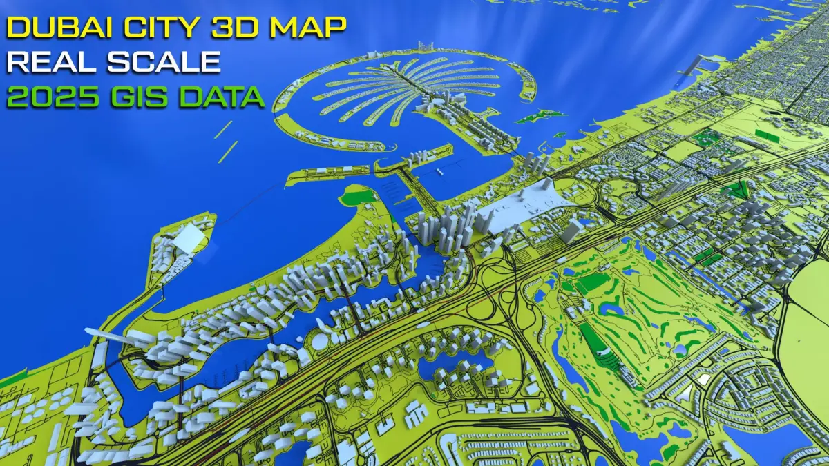
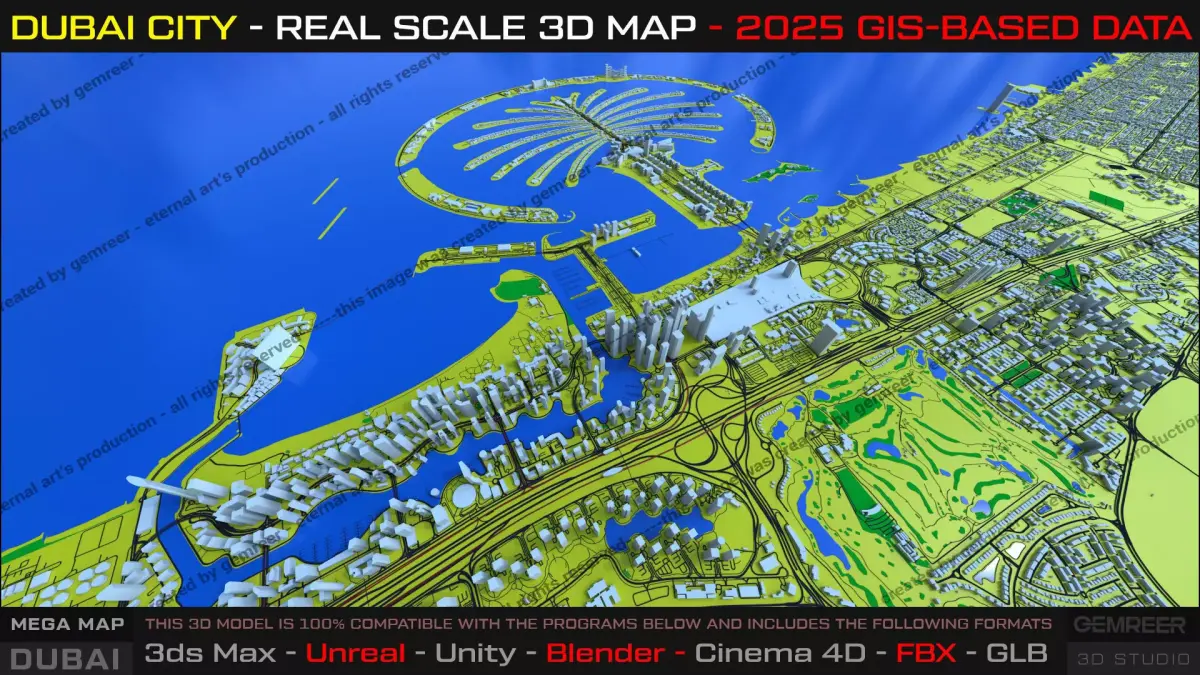
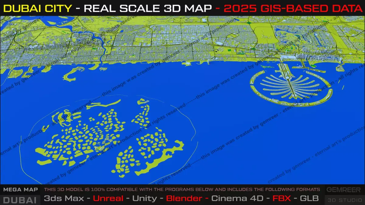
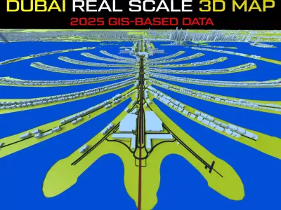
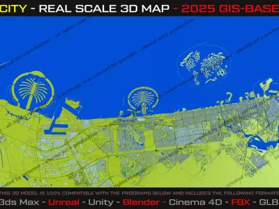
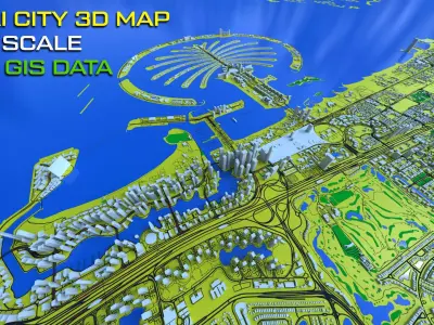
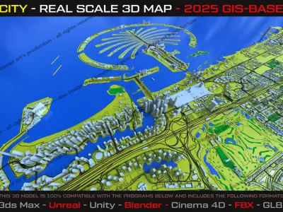
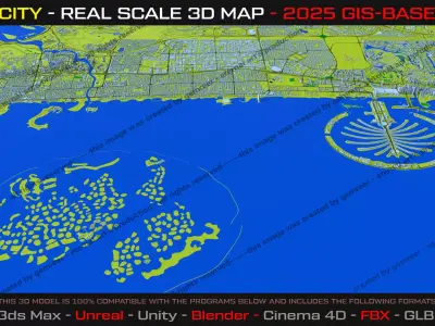
Dubai Real-Scale 3D Map - 2025 Gis Data 3D model

$72

License: Royalty Free No Ai

author:

gemreer

All content related to this 3D asset—including renders, descriptions, and metadata — is credited to its original author, «gemreer». CGhub does not claim copyright ownership over the content used.
  • Description
  • Formats

“Designed for content creators who need not only visual appeal, but also accuracy, scalability, and performance.”

Clean GIS Topology • Full Coastline Coverage and Downtown - Full Area Dubai + Surrounding districts

This high-quality 3D city map represents Dubai at full metropolitan scale, covering approximately ~120 + 60+ kilometers of coastline with accurate proportions and clean GIS-based topology.

The map includes Dubai’s most iconic districts and landmarks, such as Palm Jumeirah, Dubai Marina, Downtown Dubai, Dubai Creek, Deira, and surrounding urban zones. Designed for clarity, performance, and realism, it balances visual fidelity with optimized geometry.

Open-world and city-builder game prototyping

Architectural and concept visualization

Broadcast, Movie, Game Industry or Documentary Products.

Important Notes: All Software platforms easy import.

BLEND (Blender, filesize: 325 MB), FBX (Autodesk FBX, filesize: 240 MB), MAX (Autodesk 3ds Max, filesize: 149 MB), GLTF (glTF, filesize: 99.9 MB)

3D Model details

  • cgtrader Platform
  • Animated
  • Rigged
  • Ready for 3D Printing
  • VR / AR / Low-poly
  • PBR
  • Textures
  • Materials
  • UV Mapping
  • Polygons: 187800
  • Vertices: 94576
  • Geometry: No N-gons | No faceted geometry | Manifold geometry |
Similar models