
Publication date: 2018-11-10
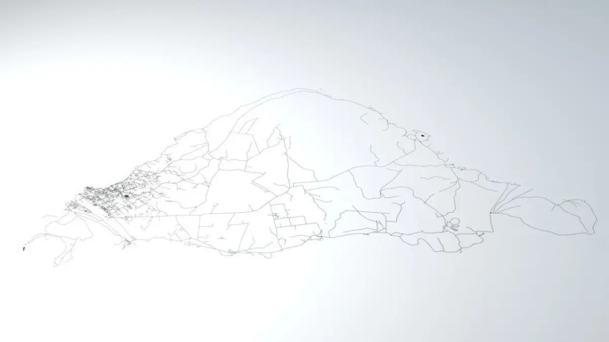
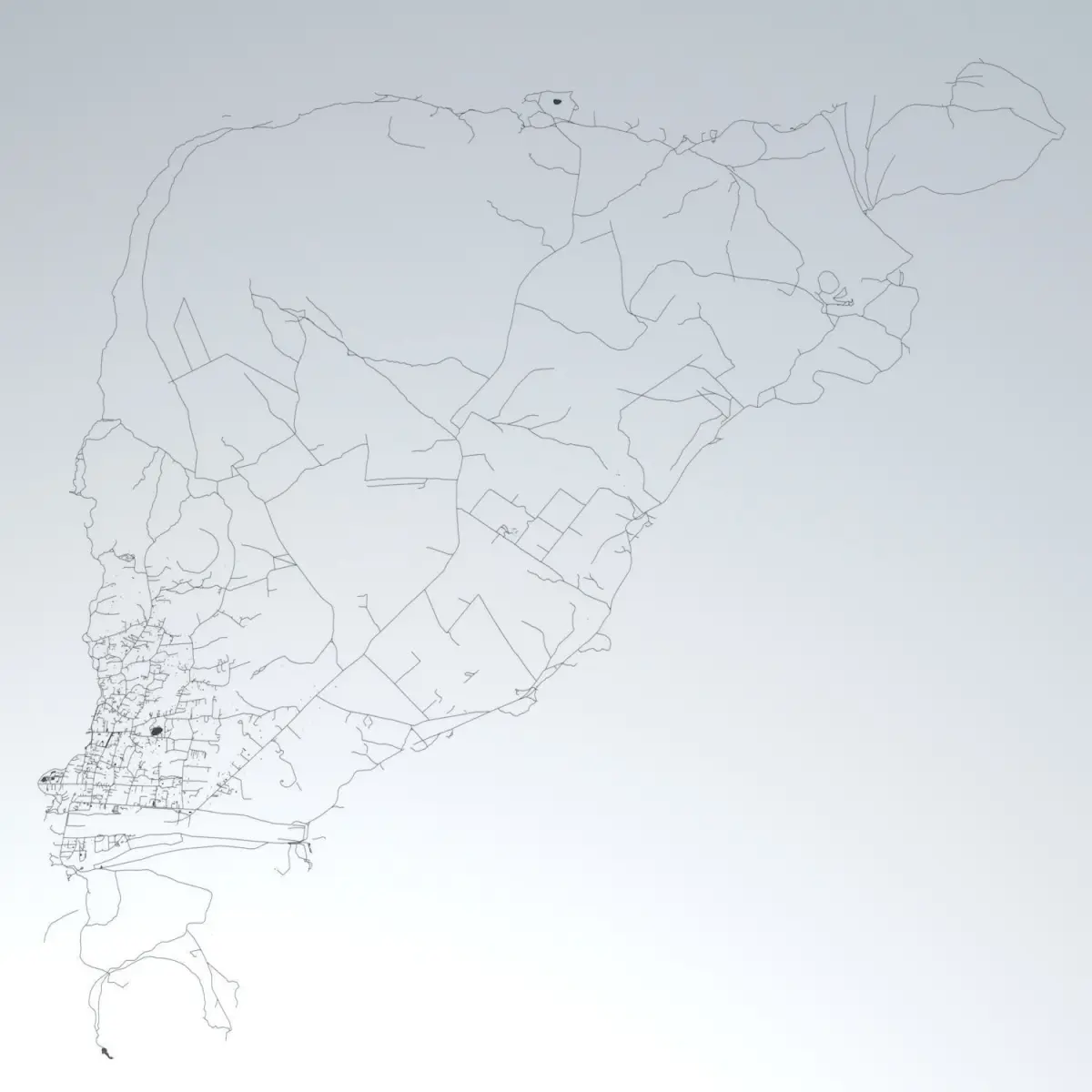
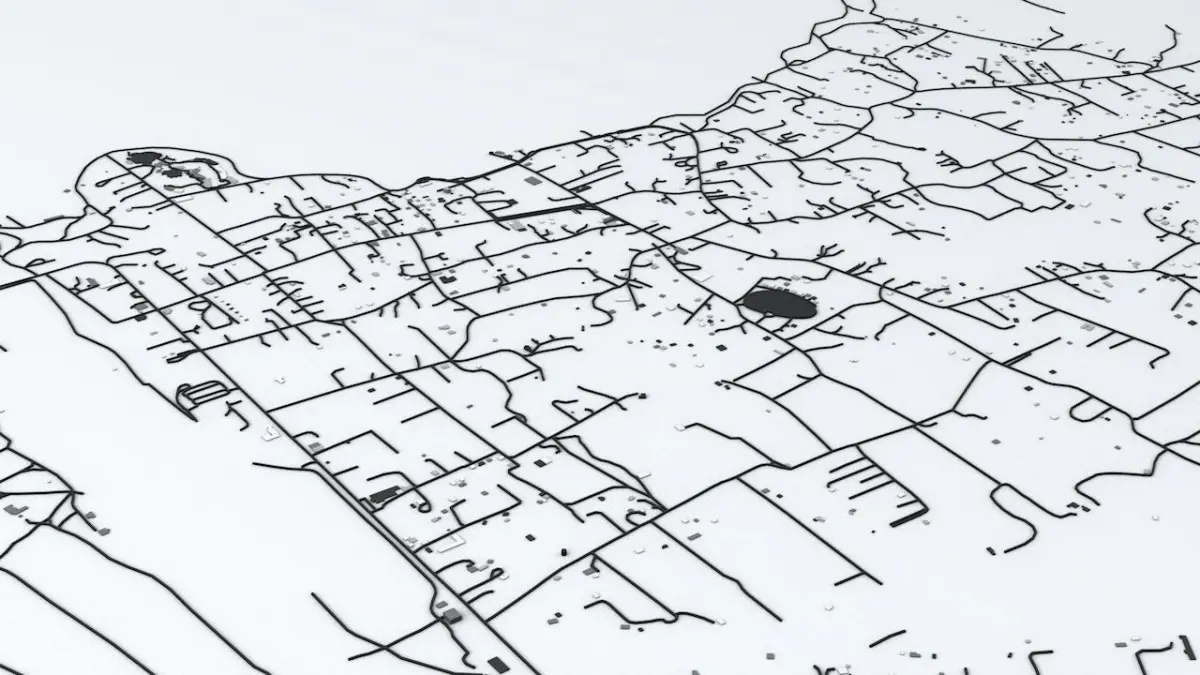
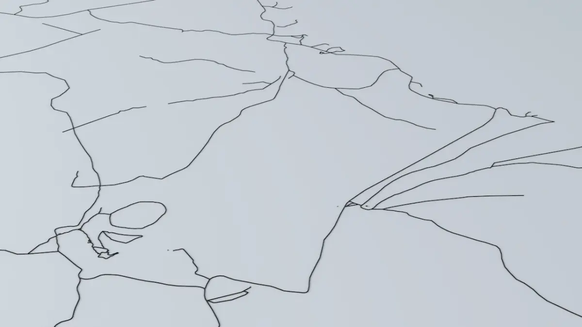
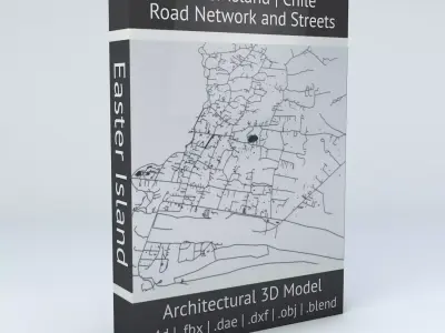
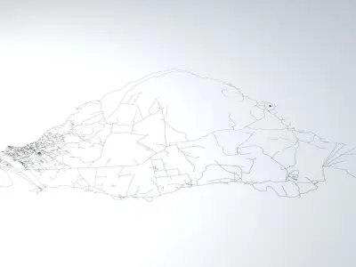
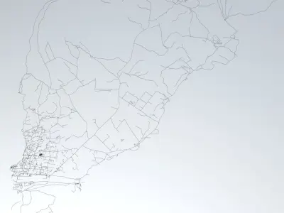
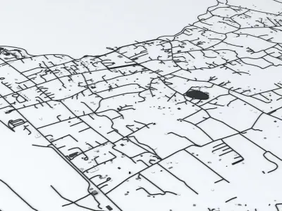
Buy Easter Island Road Network and Buildings 3D model
$29
License: Custom

author:
boscorelli3D
3D Model details
- cgtrader Platform
- Animated
- Rigged
- Ready for 3D Printing
- VR / AR / Low-poly
- PBR
- Textures
- Materials
- UV Mapping
- Polygons: 68889
- Vertices: 88374
- Geometry: No N-gons | No faceted geometry | Manifold geometry |
Similar models

Find the models you need