Publication date: 2021-08-29
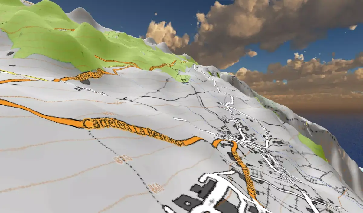
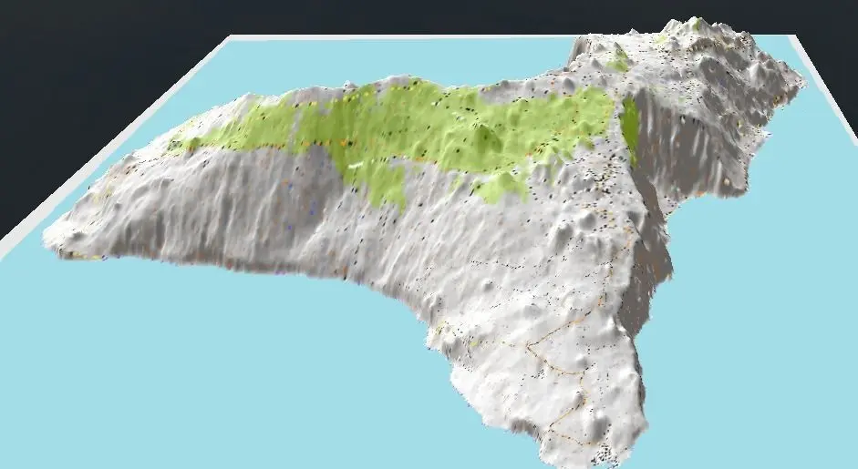
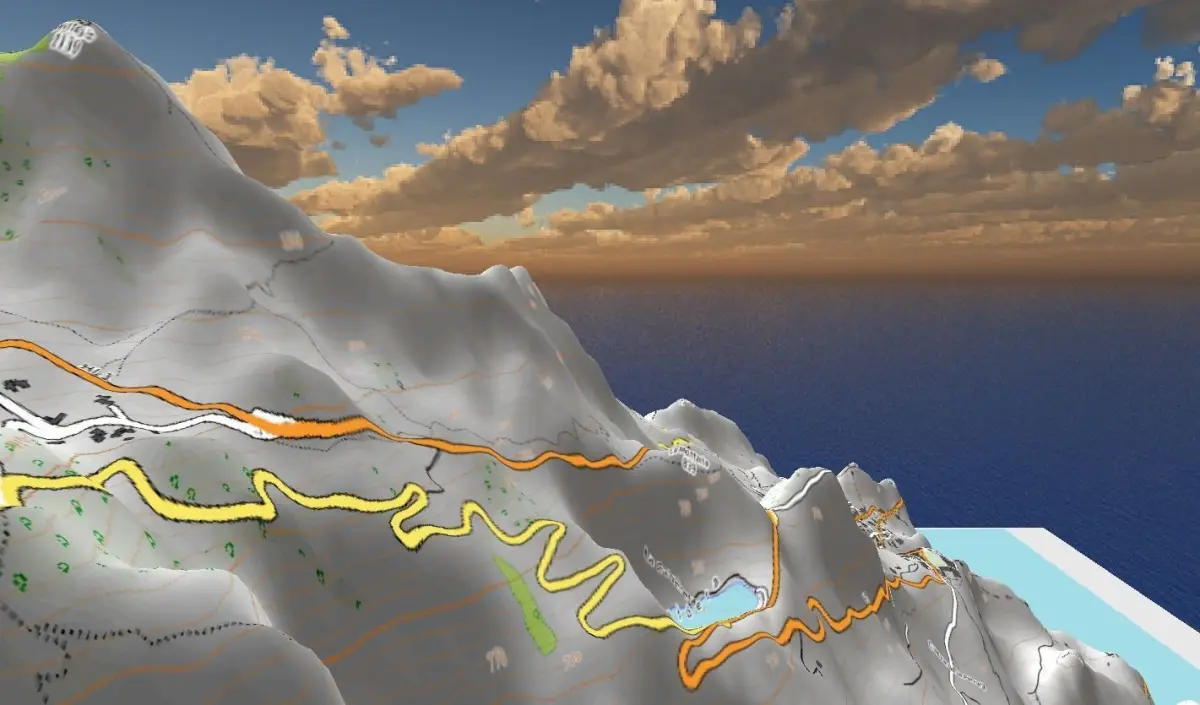
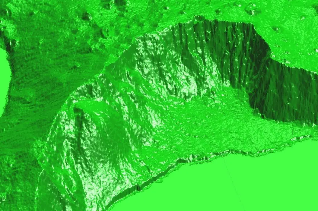
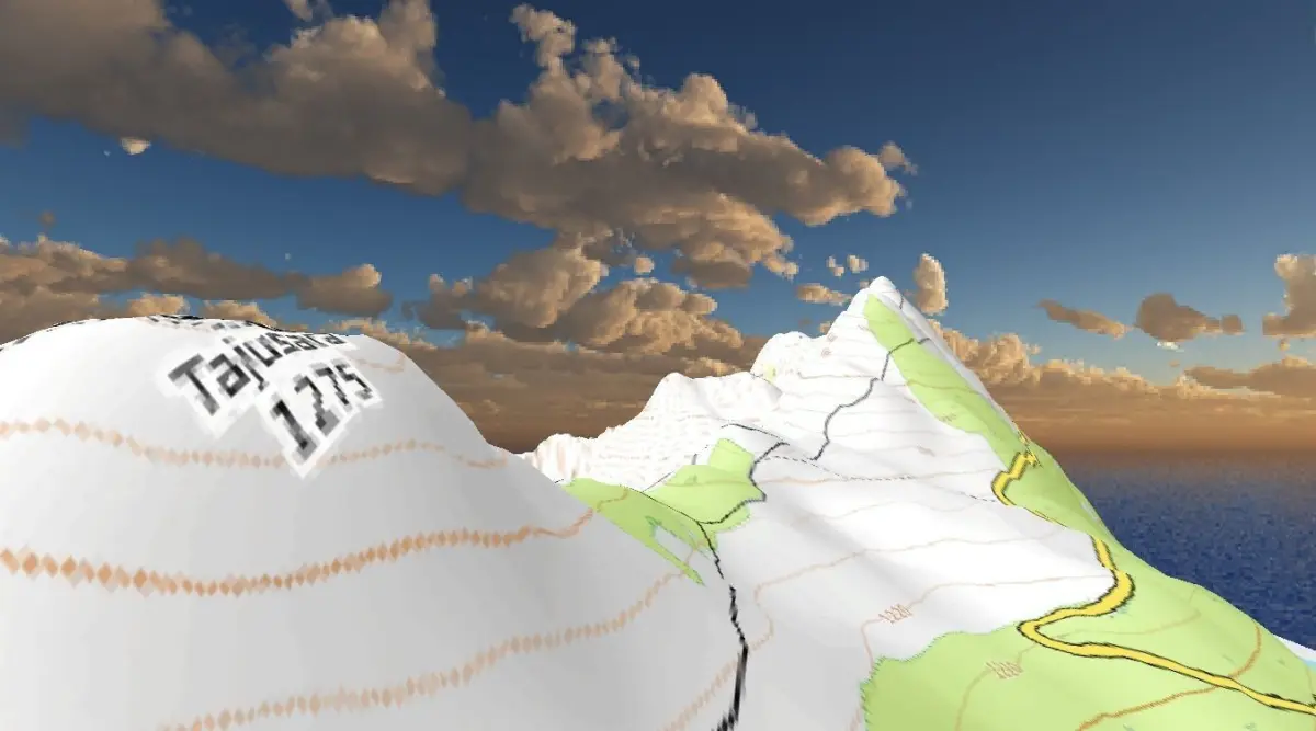
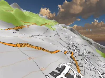
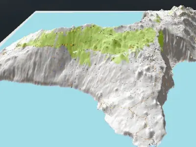
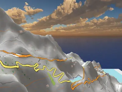
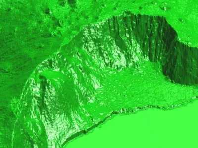
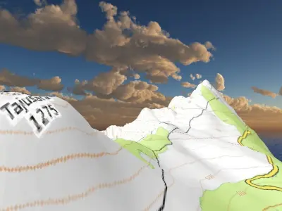
El Hierro Canary Island topo map 3D print and 3D model
$20
License: Content published with the label may not be sold, given, or assigned to another person or entity in the form it is downloaded from the site.

author:
H-GeoMatic
3D Model details
- cgtrader Platform
- Animated
- Rigged
- Ready for 3D Printing
- VR / AR / Low-poly
- PBR
- Textures
- Materials
- UV Mapping
- Unwrapped UVs: unknown
- Geometry: Unknown
- Polygons: 9221004
- Vertices: 4614810
Similar models


Find the models you need