El Hierro Island full 3d model terrain 3D model
Home Catalog El Hierro Island full 3d model terrain 3D model

Publication date: 2023-10-24
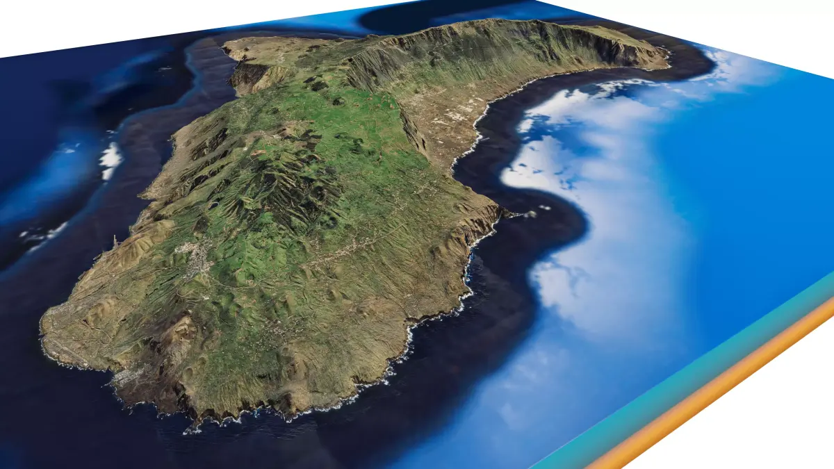
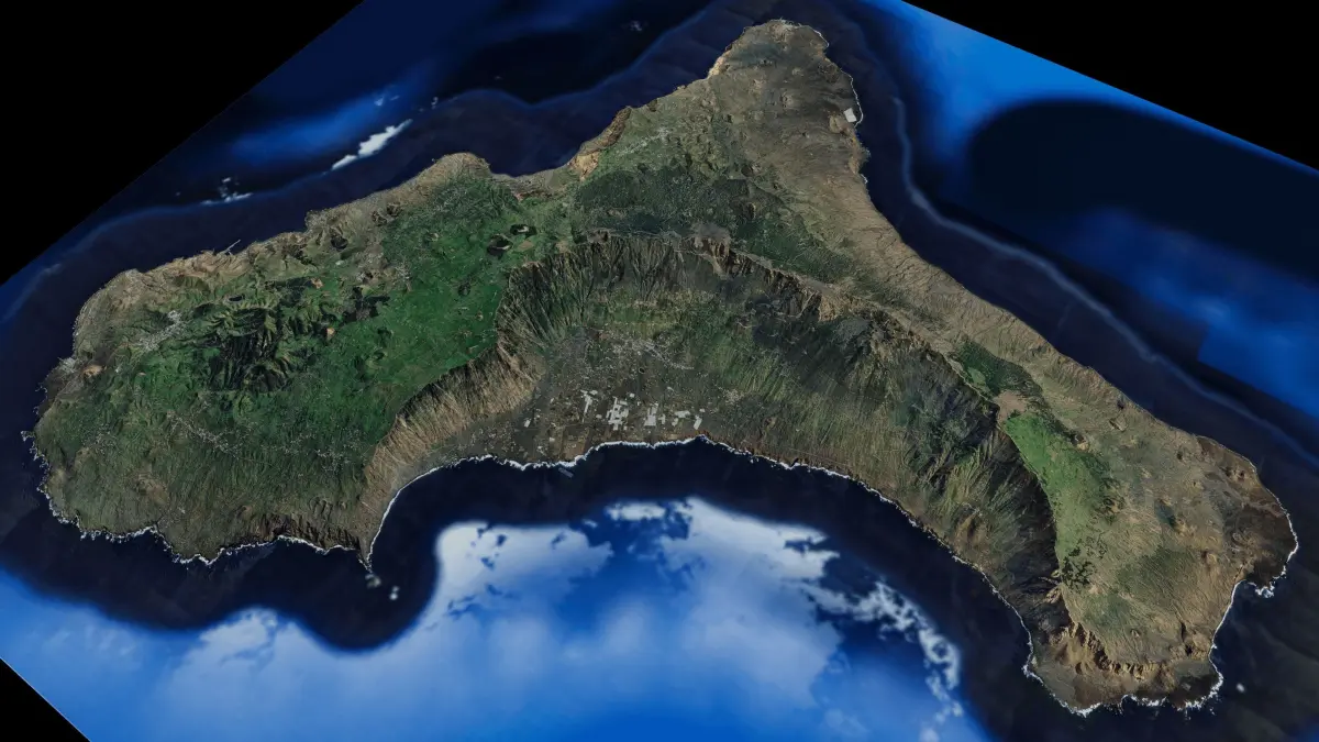
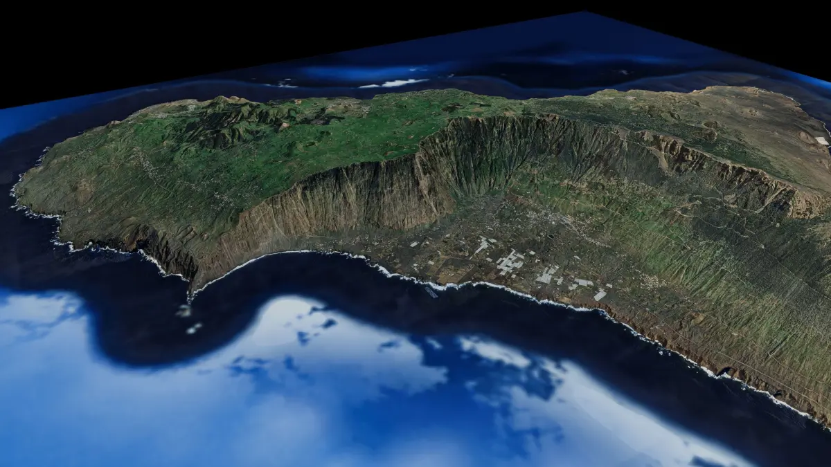
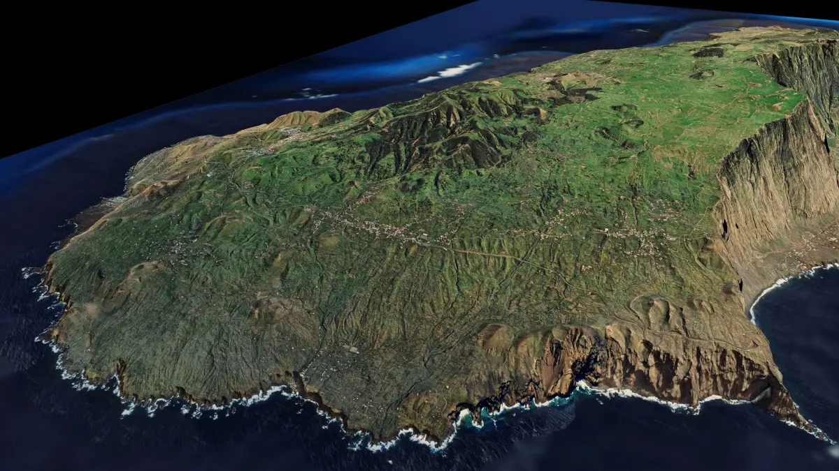
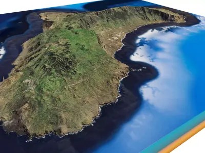
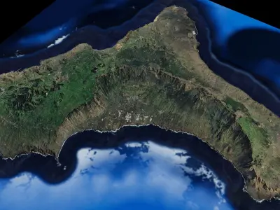
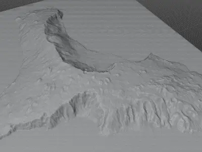
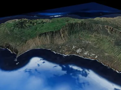
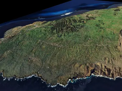
El Hierro Island full 3d model terrain 3D model

$10

License: Royalty Free
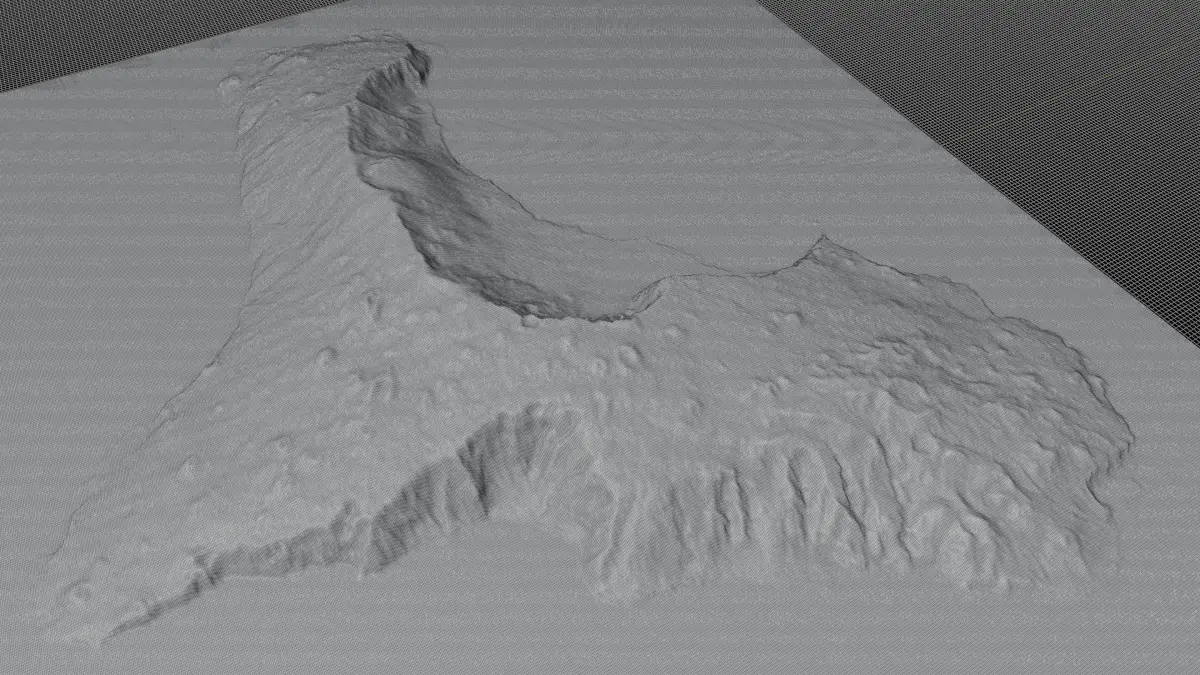
author:

ridwansyah940

All content related to this 3D asset—including renders, descriptions, and metadata — is credited to its original author, «ridwansyah940». CGhub does not claim copyright ownership over the content used.
  • Description
  • Formats

El Hierro Island full 3d model terrain. 3d model of the Island of El Hierro with its landscape of beaches and forests.

3d model landscape of El Hierro Island, Canary Islands, Santa Cruz de Tenerife, Spain.

High Poly meshHigh detailed model

with 10K textures

  • Diffuse map
  • AO map
  • Displacement map
  • Normal map
  • Roughness map

The Blend file do not require the displacement, but you can still use it if you want to create other island model yourself

Texture image from the El Hierro Island, Canary Islands, Santa Cruz de Tenerife, Spain. El Hierro, nicknamed Isla del Meridiano, is the second-smallest and farthest-south and -west of the Canary Islands, in the Atlantic Ocean off the coast of Africa, with a population of 10,968. Its capital is Valverde. At 268.51 square kilometres, it is the second-smallest of the eight main islands of the Canaries.

STL (Stereolithography, filesize: 53.7 MB), OBJ (OBJ, filesize: 72.8 MB), FBX (Autodesk FBX, filesize: 53.5 MB), TEXTURES (Textures, filesize: 193 MB), BLEND (Blender, filesize: 21.2 MB)

3D Model details

  • cgtrader Platform
  • Animated
  • Rigged
  • Ready for 3D Printing
  • VR / AR / Low-poly
  • PBR
  • Textures
  • Materials
  • UV Mapping
  • Polygons: 561921
  • Vertices: 563457
  • Plugins used
  • Geometry: No N-gons | No faceted geometry | Manifold geometry |
Similar models