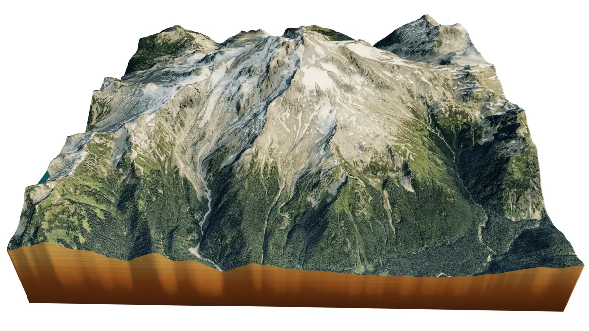
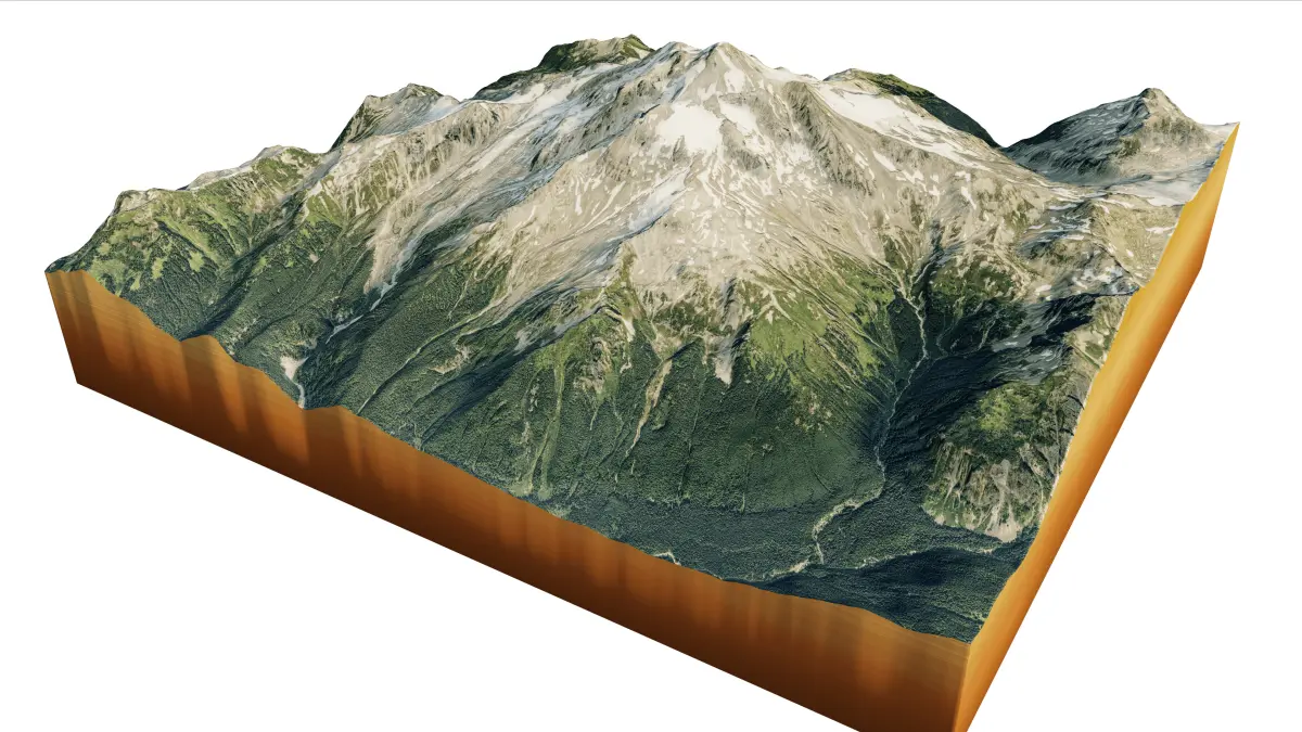
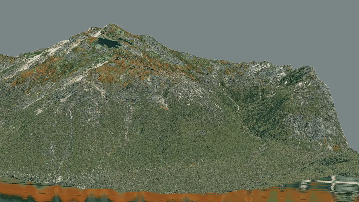
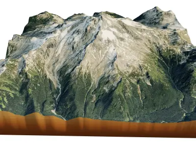
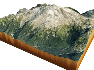
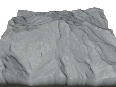
Glacier Peak 3d model terrain. 3d model landscape of the Glacier Peak Stratovolcano.
3d model landscape of Glacier Peak Stratovolcano, Cascade Mountain range, Snohomish County, Washington, U.S.
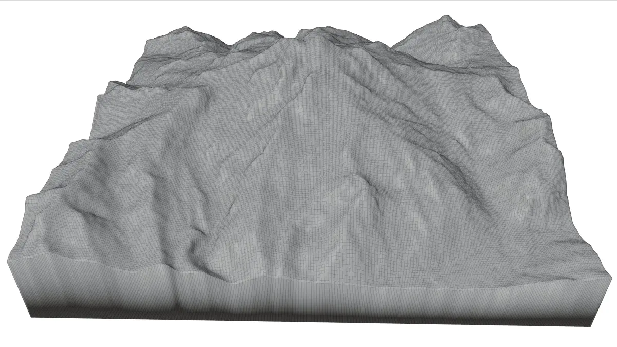
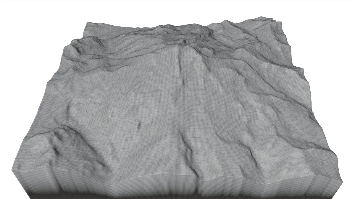
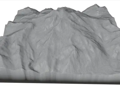
High Poly meshHigh detailed model
with 8K textures
- Diffuse map
- AO map
- Displacement map
- Normal map
- Roughness map
The Blend file do not require the displacement, but you can still use it if you want to create other model yourself
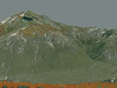
texture example from the Glacier Peak Stratovolcano, Cascade Mountain range, Snohomish County, Washington, U.S. Glacier Peak or Dakobed is the most isolated of the five major stratovolcanoes of the Cascade Volcanic Arc in the U.S state of Washington. The volcano is the fourth tallest peak in Washington state, and not as much is known about it compared to other volcanoes in the area. Local Native Americans have recognized Glacier Peak and other Washington volcanoes in their histories and stories.
STL (Stereolithography, filesize: 7.3 MB), OBJ (OBJ, filesize: 11.4 MB), FBX (Autodesk FBX, filesize: 13.6 MB), BLEND (Blender, filesize: 3.64 MB), PNG (PNG, filesize: 281 MB)