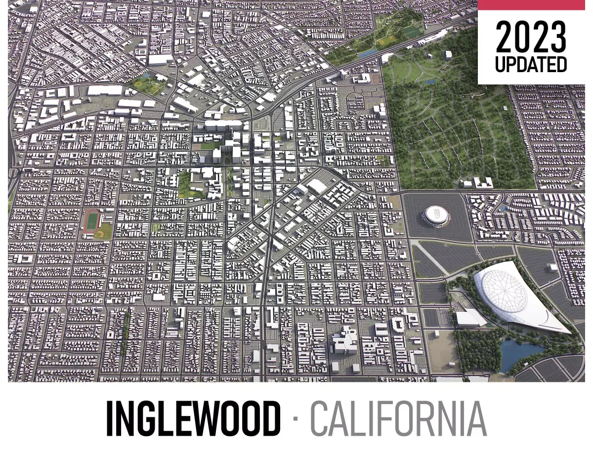
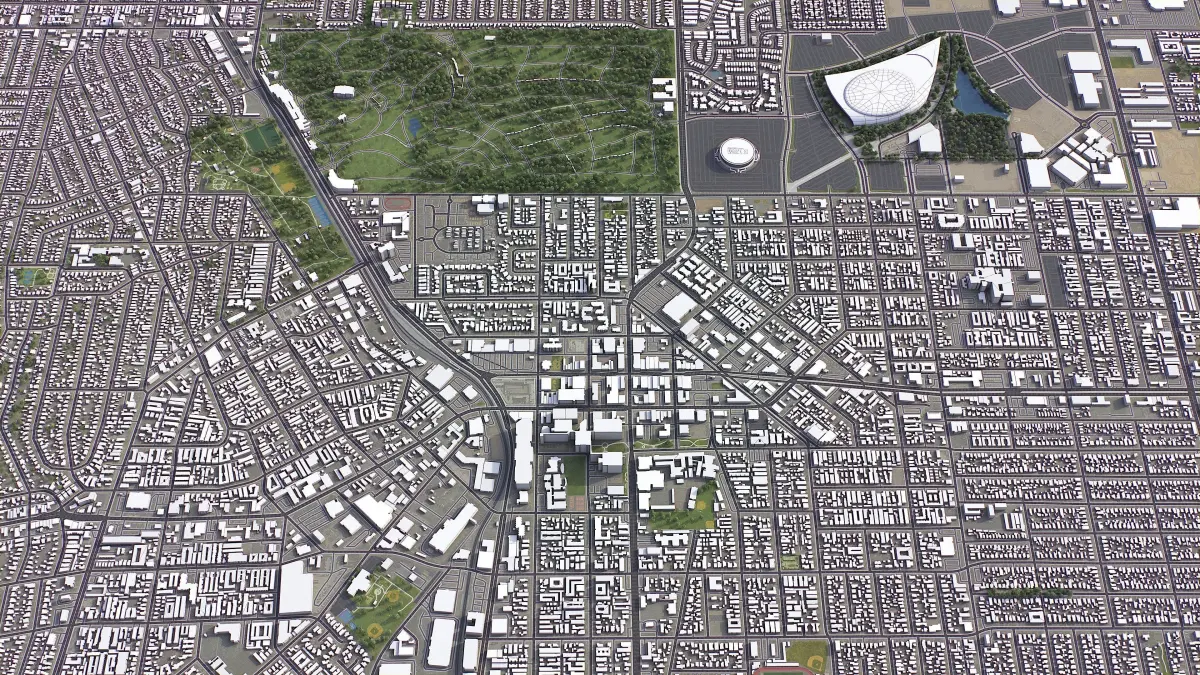
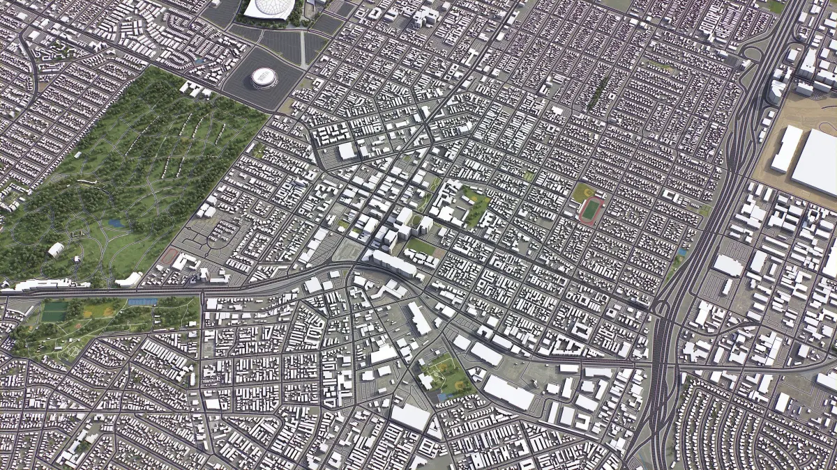
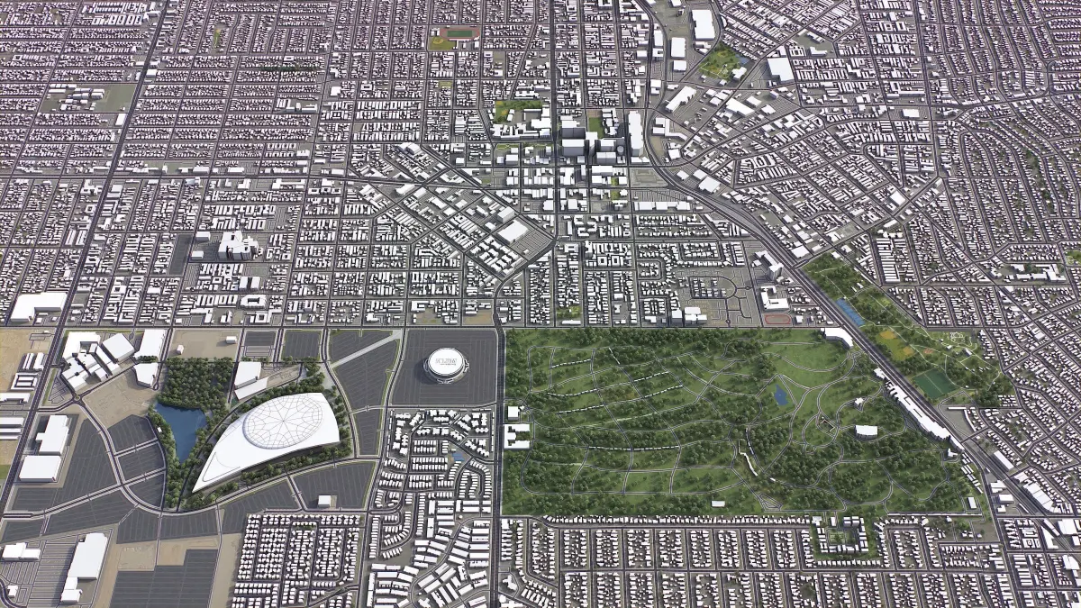
Description
- TRY BEFORE YOU BUY
- Send us a message to get a test scene of this product
- Download a generic sample - www.each.city/sample
- WHAT IS INCLUDED
- File formats - 3ds Max, Cinema4D + fbx, obj, dwg
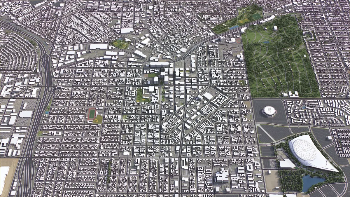
- Buildings, landuse areas, roads and railways split by type (layers / named objects)
- Detailed landmarks with the regular updates and improvements
- Georeferencing - true scale latitude, central meridian or specific CRS
- The surface is flat, easy to add details and edit geometry
- Realistic low-poly trees and forests
- Product is ready to render out-of-the-box (3ds Max + Corona Render)
- FULL MODEL - $399
- Scene size - up to 100 x 100 km or any area crop
- File formats - Rhino, SketchUp, Revit, Cinema4D, Blender, Maya, AutoCAD, Unity, UE5, + fbx, obj, dae, glb, gltf, and more
- Inquiry and purchase - Instant delivery and 24/7 support
- CUSTOMIZE & SAVE
- TERMS & CONDITIONS
- Only applies to new customers who placed an order through the HIRE ME option
- Fully customizable model based on the options listed below
- Fast turnaround, flexible pricing and discounts
- SCENE SIZE
- Full city extents up to 100 x 100 km — or crop to the area of interest for better format compability and scene performance
- Extended area up to 1000 x 1000 km — or any size options or slice to tiles
- DATA AUTHENTICITY
- 100% real buildings coverage — unlike other sellers we don’t use AI generated building footprints
- Combining multiple sources — you may povide us with any dataset to include in the model
- GEOREFERENCING
- Coordinate Reference Systems (CRS) – available options
- Web Mercator - specified by true scale latitude
- Transverse Mercator - defined by central meridian
- Original CRS - local or optimal for this area
- Geospatial anchors — allows you to position 3D content at any specified latitude and longitude
- TOPOGRAPHY TERRAIN
- Up to 1 meter accuracy digital terrain model (DTM) — quad mesh
- Multiple terrain LODs — triangle mesh optimized for the best polycount / details balance
- Buildings and roads placed on the optimized terrain
- Separate land surface and water bodies
- High-resolution satellite or surface texture — up to 0.2 meter accuracy
- Contour lines — 3D splines, up to 1 meter interval
- MANUAL MODELING
- Buildings and structures — LOD2 and LOD3
- Elevated highways — interchanges, bridges and flyovers
- TEXTURING
- High-resolution surface texture — satellite image up to 0.5 meter accuracy
- Streets and roads with markings texture — UV mapped along the center line
- Procedural textures assigned to all buildings — LOD1 only
- Realistic textures on individual buildings — LOD2 and LOD3
- TREES & FORESTS
- Individual trees — real trees from OSM data
- Procedural forests — based on distribution areas, convertible to individual trees
- OTHER EXTRAS
- Individual buildings and streets — separate objects with address and/or name
- Administrative boundaries of all levels — named polygons or outlines
- Road and railway splines — for traffic animation, etc.
- Public transport stops — individual named objects
- FILE FORMATS
- max — Autodesk 3ds Max
- fbx, obj, dae, 3ds — Exchange Formats
- glb, gltf — Games, Web, AR/VR
- unitypackage — Unity 3D
- uproject — Unreal Engine
- 3dm — Rhino 3D
- skp — SketchUp
- rvt — Autodesk Revit
- c4d — Cinema4D
- blend — Blender
- ma, mb — Autodesk Maya
- dwg, dxf — Autodesk AutoCAD
- IMPORTANT NOTE
- Any options under CUSTOMIZE & SAVE section can only be ordered using the HIRE ME — flexible pricing applies
Features
-
Animated
-
Rigged
-
Ready for 3D Printing
-
VR / AR / Low-poly
-
PBR
-
Textures
-
Materials
-
UV Mapping
- Unwrapped UVs: No
- Geometry: Polygon mesh
- Polygons: 1
- Vertices: 1
All content related to this 3D asset—including renders, descriptions, and metadata—is
credited to its original author, «3D-City-Projects». CGhub does not claim copyright ownership over the content used.