Publication date: 2024-06-08
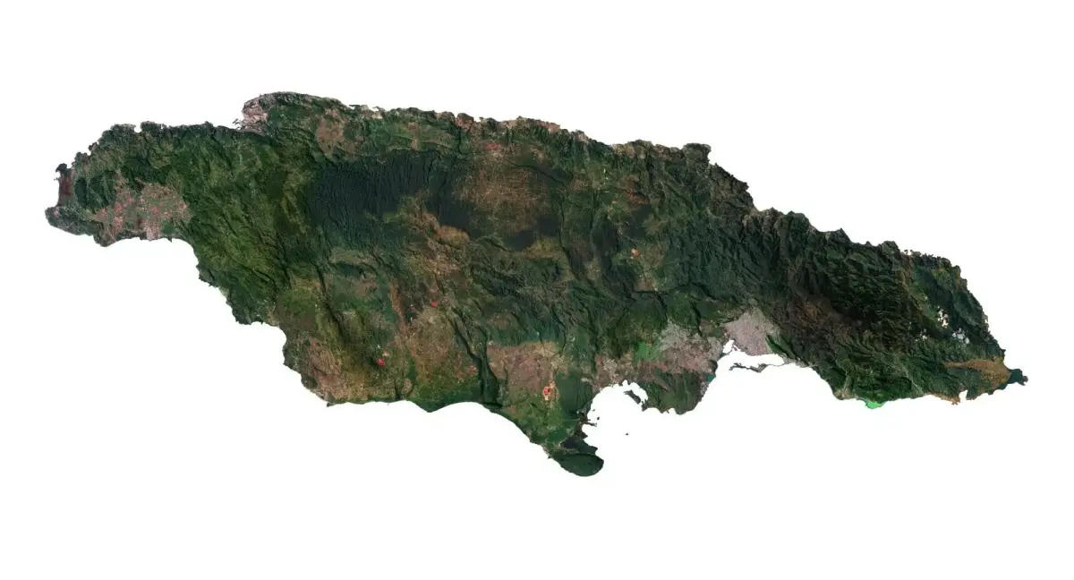
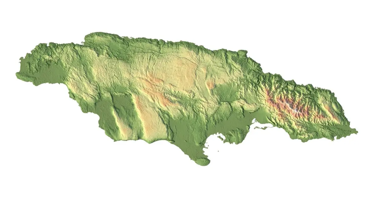
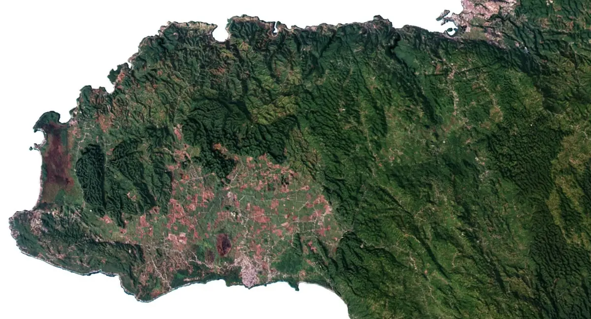
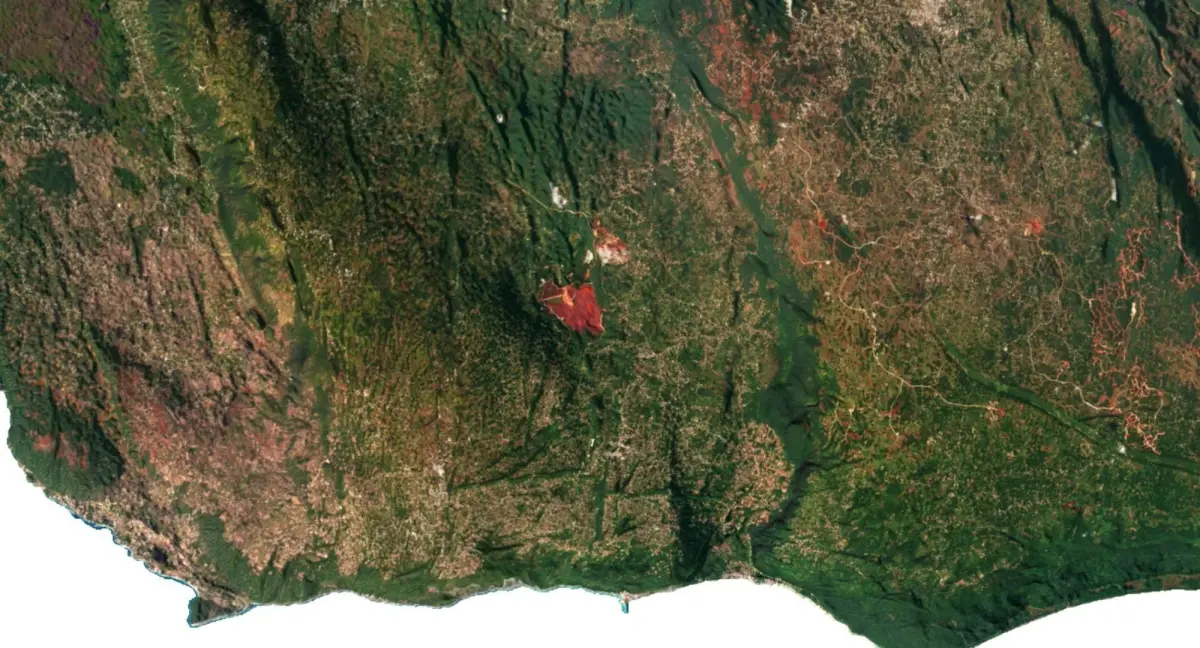
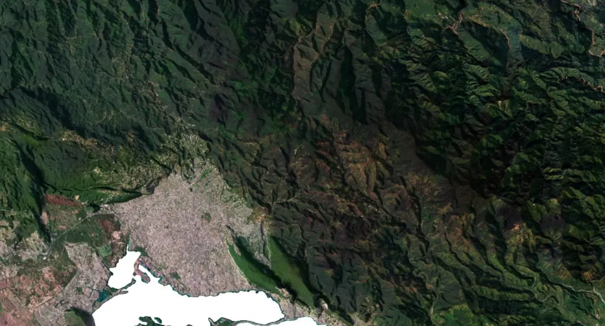
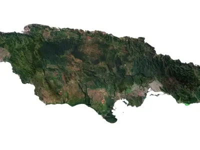
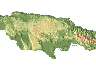
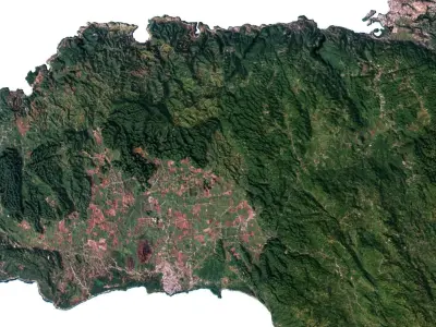
Buy Jamaica Terrain 3D Map 3D model
$43
License: Royalty Free

author:
shustrik-maps
3D Model details
- cgtrader Platform
- Animated
- Rigged
- Ready for 3D Printing
- VR / AR / Low-poly
- PBR
- Textures
- Materials
- UV Mapping
- Polygons: 9986508
- Vertices: 4998150
- Plugins used
- Geometry: Polygon mesh
Similar models


Find the models you need