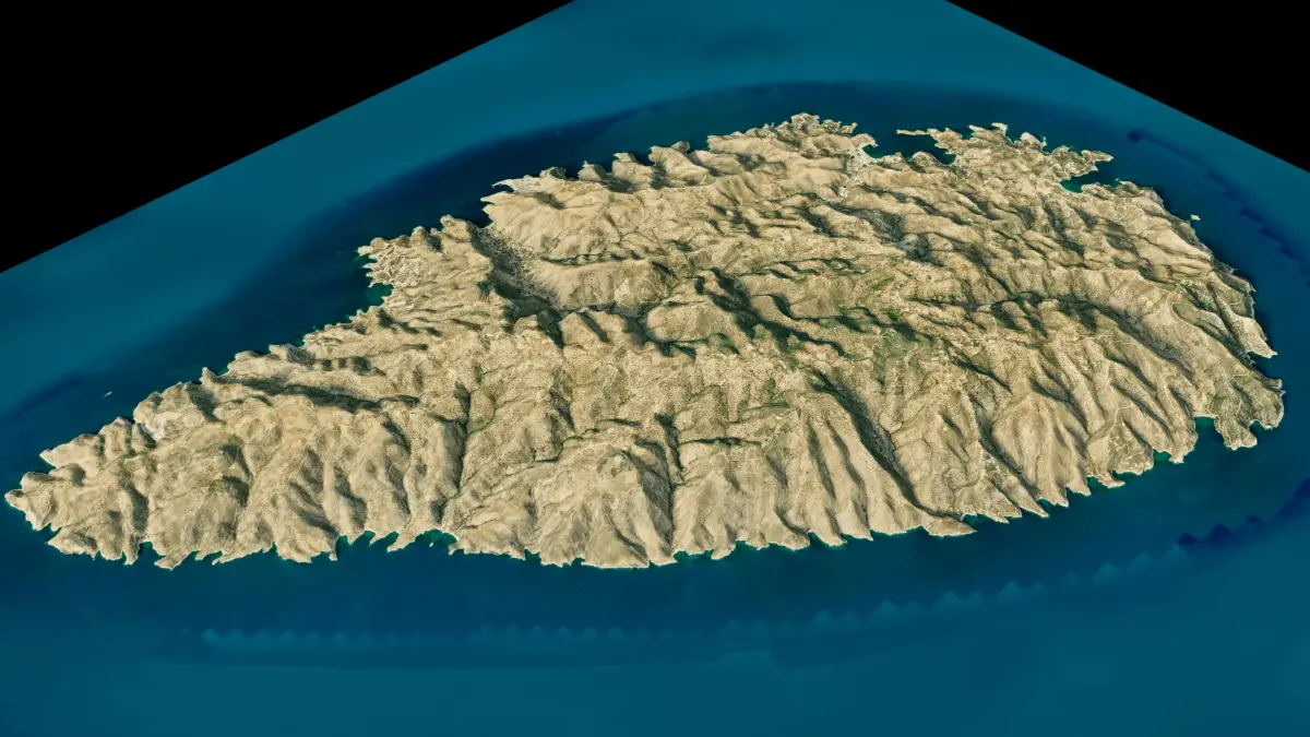
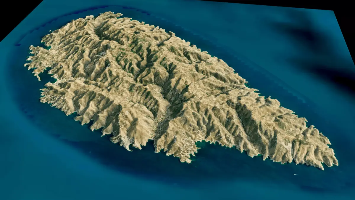
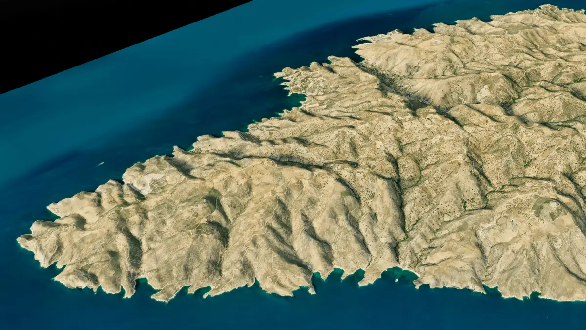
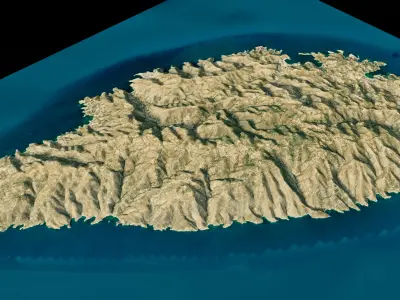
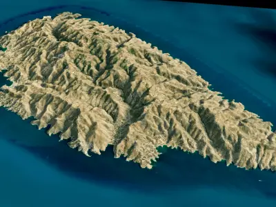
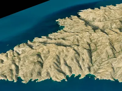
Kea Island 3D model terrain. 3d model island of Kea, Greece with its landscape of mountains, beaches and forests.
3d model landscape of Kea Island, Cyclades archipelago, South Aegean, Aegean Sea, Greece.
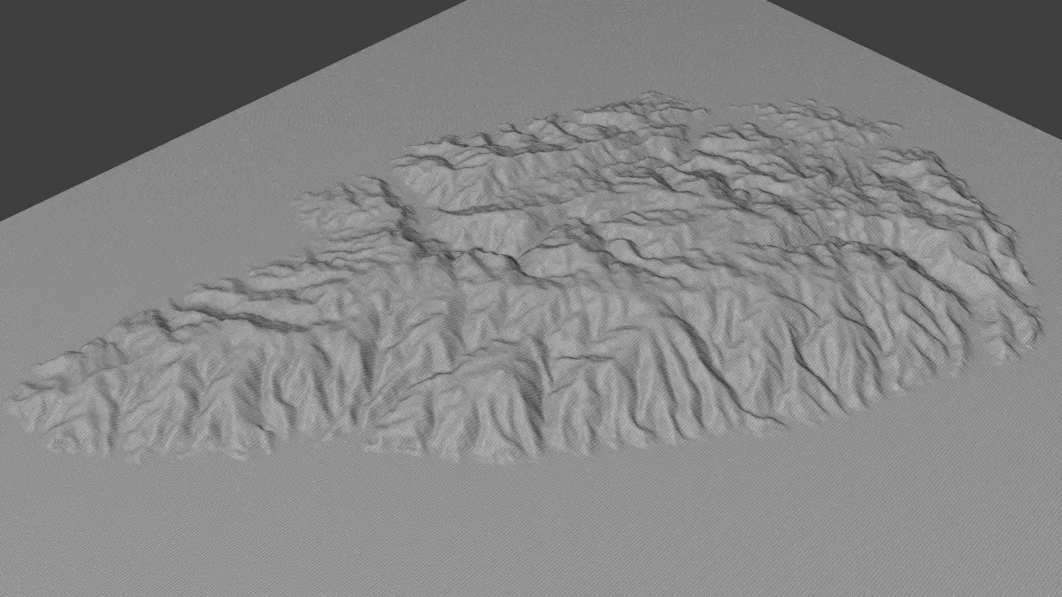
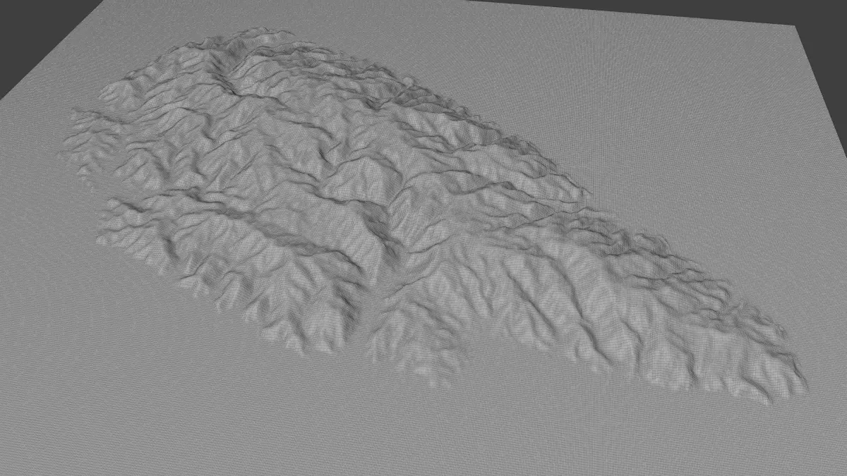
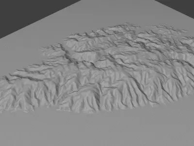
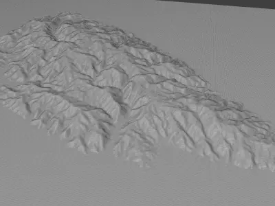
High Poly meshHigh detailed model
with 12K textures
- Diffuse map
- AO map
- Displacement map
- Normal map
- Roughness map
The Blend file do not require the displacement, but you can still use it if you want to create other terrain model yourself
texture example from the Kea Island, Cyclades archipelago, South Aegean, Aegean Sea, Greece. Kea, also known as Tzia and in antiquity Keos, is a Greek island in the Cyclades archipelago in the Aegean Sea. Kea is part of the Kea-Kythnos regional unit. It is the island of the Cyclades complex that is closest to Attica and is also 20 km from Cape Sounio as well as 60 km SE of Athens. Its climate is arid, and its terrain hilly. Kea is 19 km long from north to south and 9 km wide from west to east. The area is 128.9 km2 with the highest point being 560 m above sea level.
STL (Stereolithography, filesize: 33.4 MB), OBJ (OBJ, filesize: 44.7 MB), PNG (PNG, filesize: 232 MB), FBX (Autodesk FBX, filesize: 46.1 MB), BLEND (Blender, filesize: 62.1 MB)