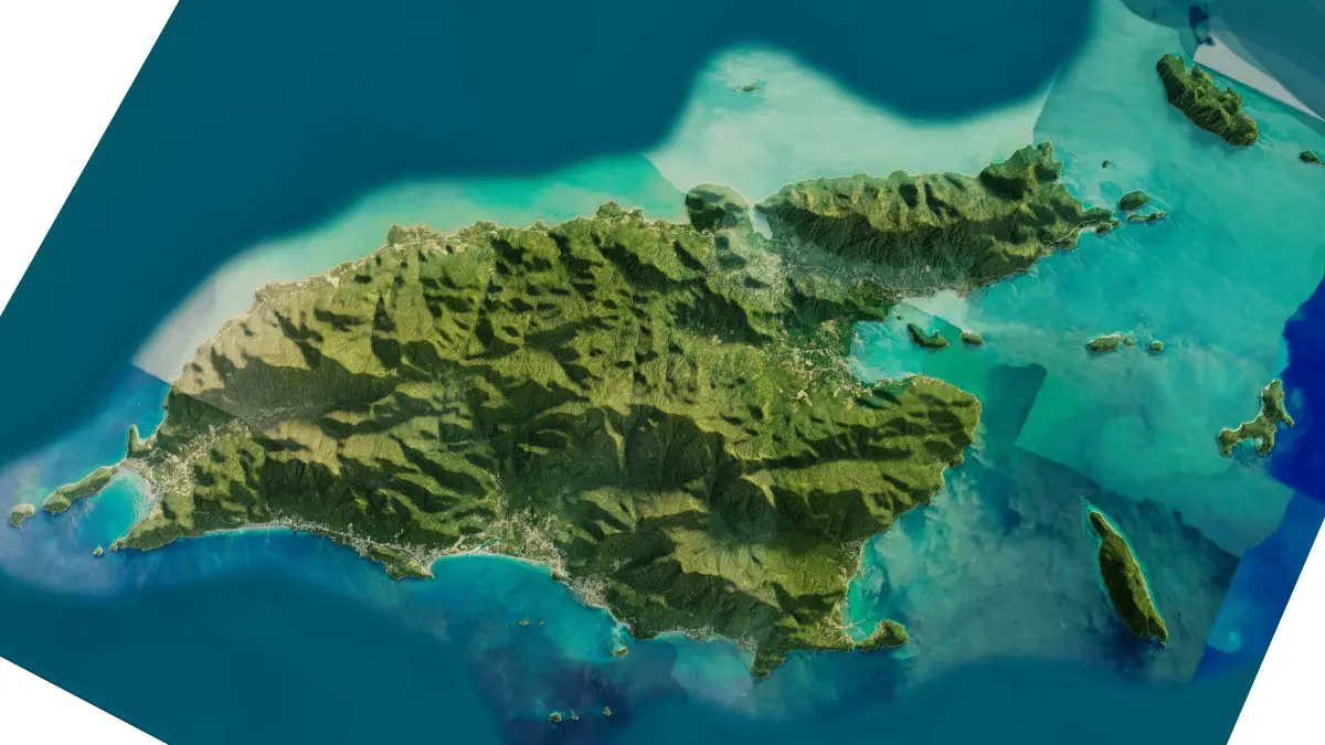
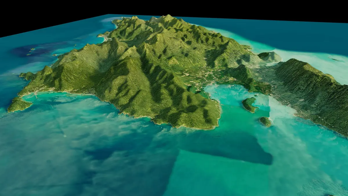
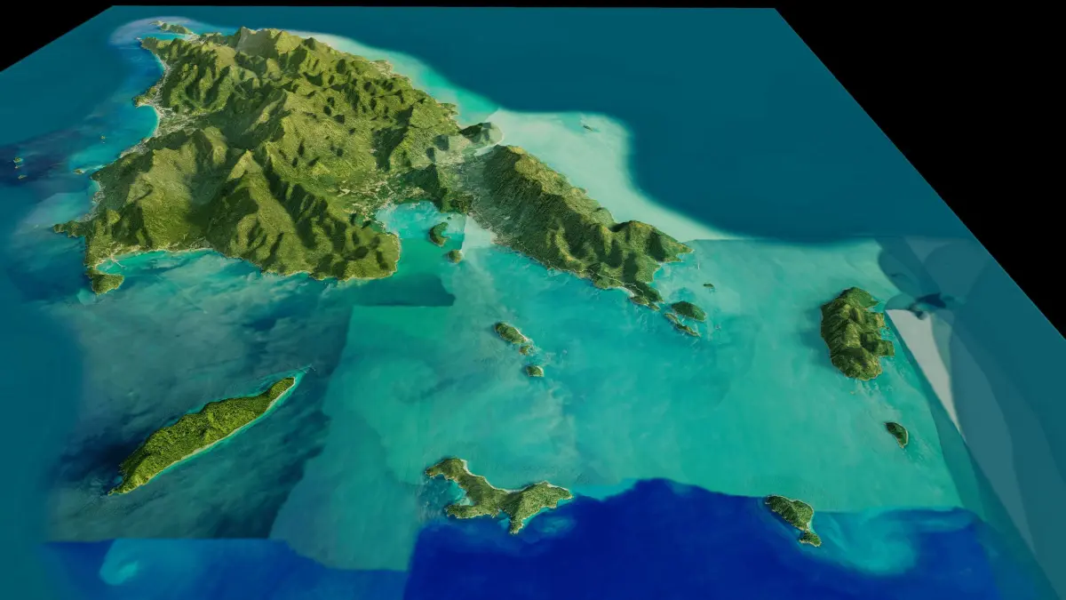
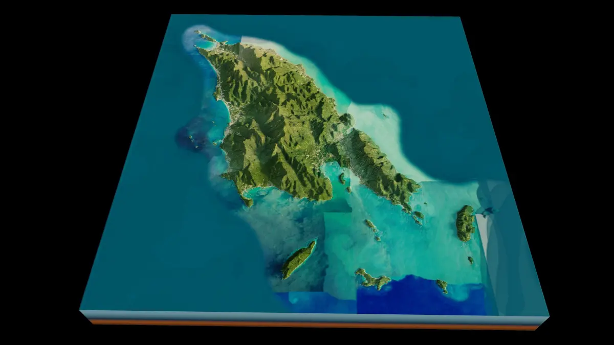
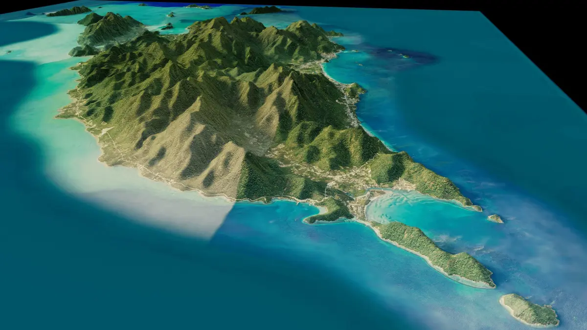
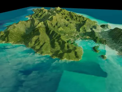
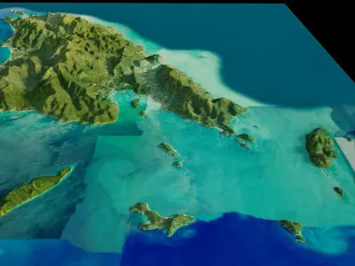
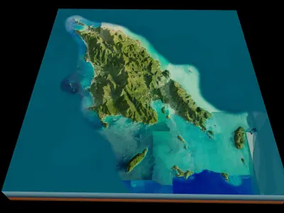
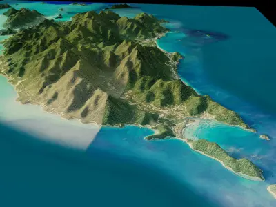
Ko Chang island 3d model terrain. 3d model of the island Ko Chang with its landscape of mountains, beaches and forests.
3d model landscape of Ko Chang Island, Trat Province, Thailand..High Poly meshHigh detailed model
with 10K textures
- Diffuse map
- AO map
- Displacement map
- Normal map
- Roughness map
The Blend file do not require the displacement, but you can still use it if you want to create other island model yourself
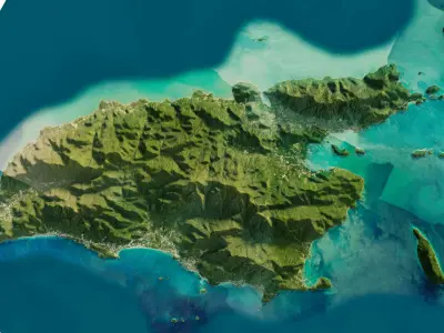
texture example from Ko Chang Island, Trat Province, Thailand. Ko Chang, one of the largest Thai islands in the Gulf of Thailand, contains dense, steep jungle. Mu Ko Chang National Park, a preserve with hiking trails and waterfalls such as tiered Klong Plu, covers the interior and extends to offshore coral reefs. The coast is dotted with beaches and villages including Bang Bao, built on piers. Hat Tha Nam (aka Lonely Beach) has a waterfront party scene that attracts backpackers.
STL (Stereolithography, filesize: 55.1 MB), OBJ (OBJ, filesize: 71.7 MB), FBX (Autodesk FBX, filesize: 52.3 MB), TEXTURES (Textures, filesize: 188 MB), BLEND (Blender, filesize: 21.2 MB)