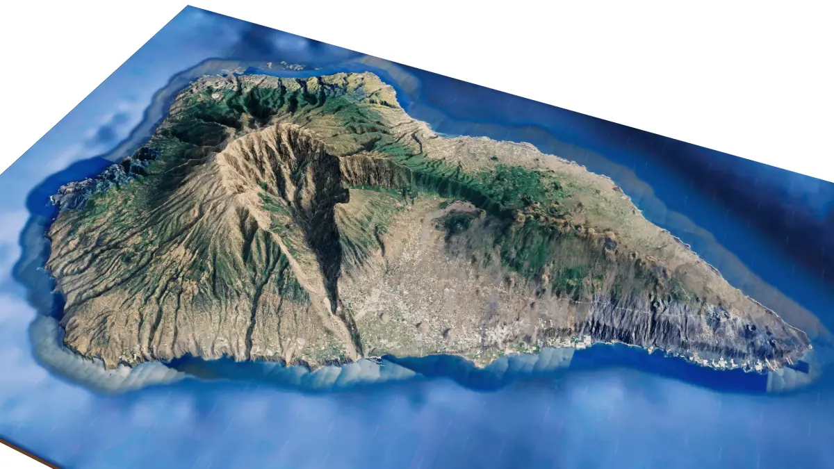
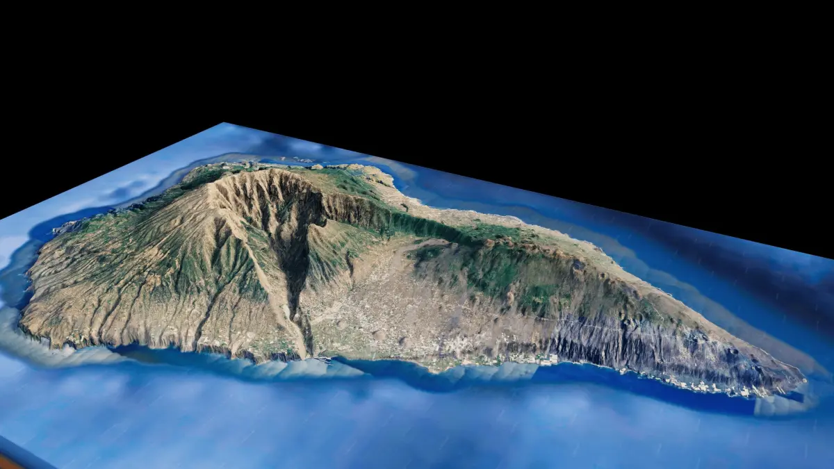
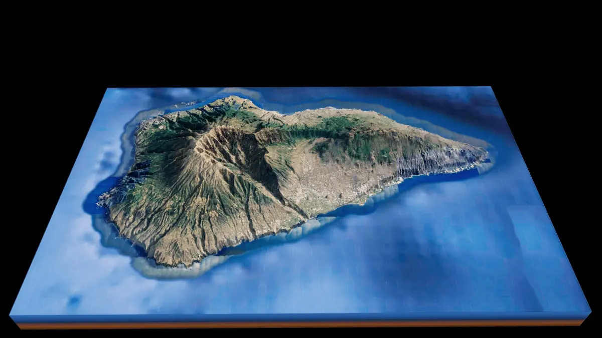
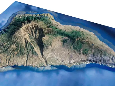
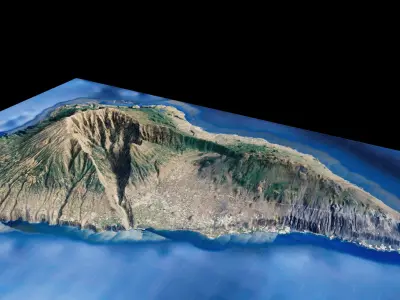
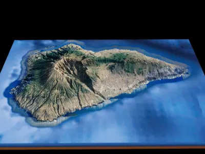
La palma Island full 3d model terrain. 3d model of the Island of La palma with its landscape of mountains, beaches and forests
3d model landscape of La palma Island, Canary Islands, Spain
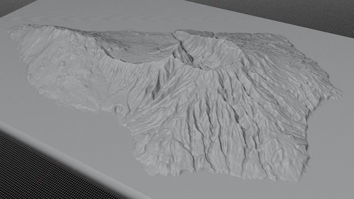
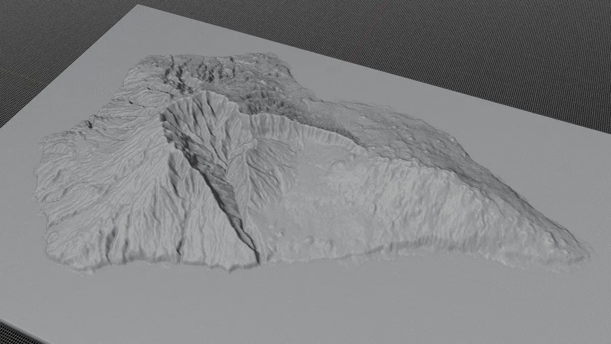
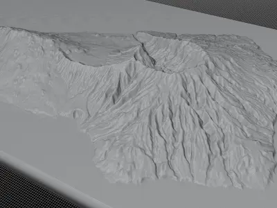
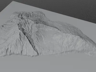
High Poly meshHigh detailed model
with 4K textures
- Diffuse map
- AO map
- Displacement map
- Normal map
- Roughness map
The Blend file do not require the displacement, but you can still use it if you want to create other island model yourself
Texture example from the La palma Island, Canary Islands, Spain. La Palma is one of Spain’s Canary Islands, off northwestern Africa. Its rugged, forested terrain is dotted with volcanoes like Teneguía and Cumbre Vieja. The island's capital, Santa Cruz de la Palma, is a port town with narrow cobbled streets and houses with wooden balconies. The Caldera de Taburiente National Park has a huge crater-shaped formation and is covered in pine forest and cut by waterfalls. Roque de los Muchachos is a rocky mound at the highest point on the island of La Palma in the Canary Islands, Spain.
STL (Stereolithography, filesize: 40.5 MB), OBJ (OBJ, filesize: 56.3 MB), FBX (Autodesk FBX, filesize: 41.8 MB), BLEND (Blender, filesize: 16.4 MB)