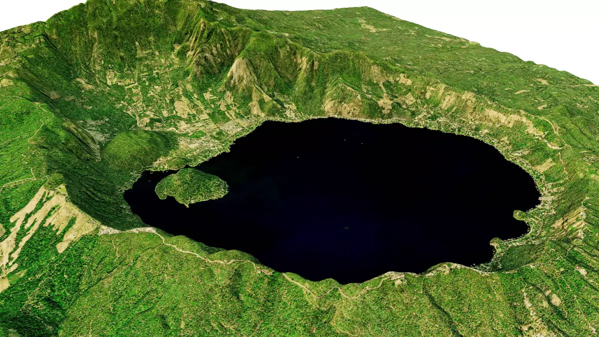
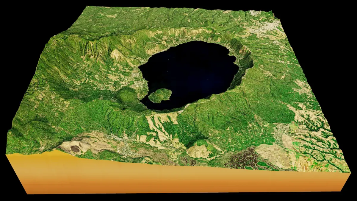
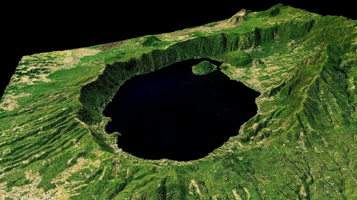
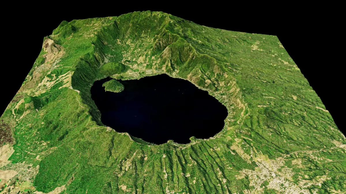
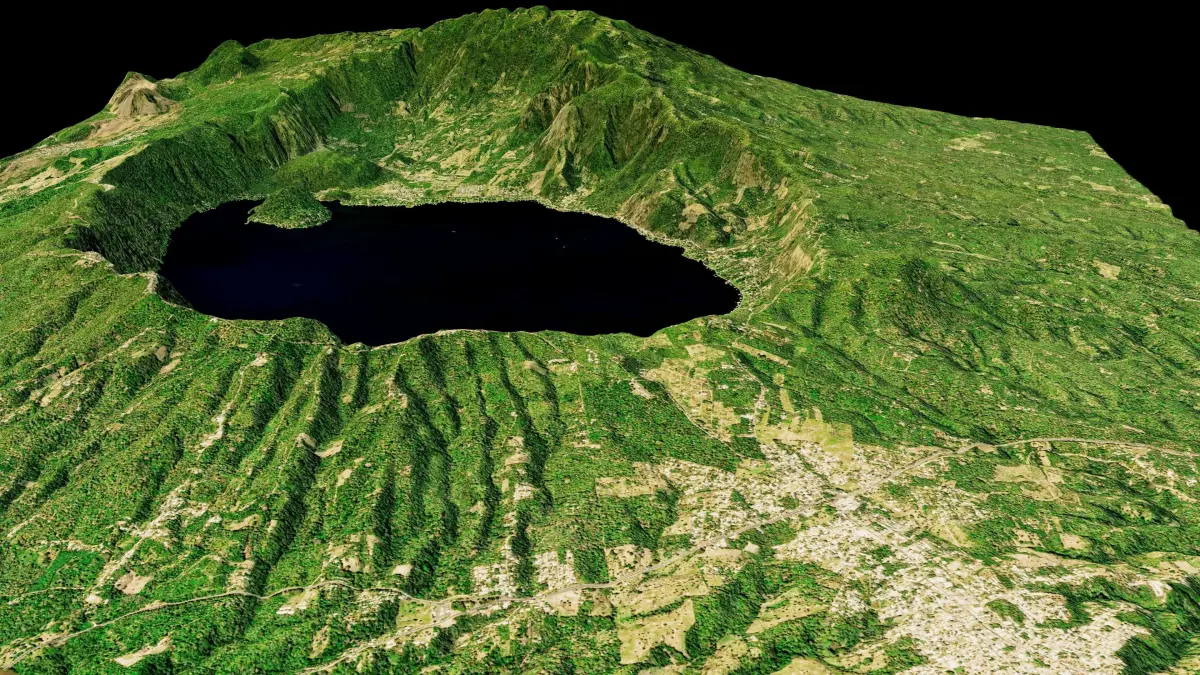
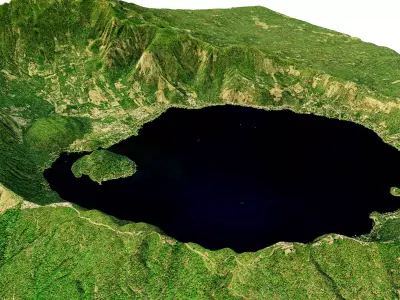
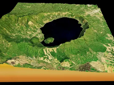
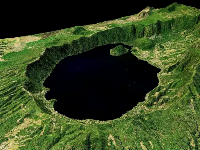
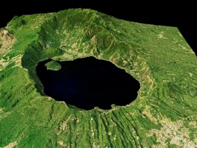
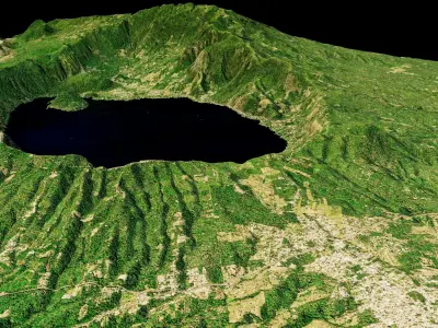
Lago de Coatepeque Caldera 3d model terrain, Lake Coatepeque 3d landscape model.
3d model landscape of Lago de Coatepeque Caldera, Coatepeque, Santa Ana, El Salvador.
High Poly meshHigh detailed model
with 6K textures
- Diffuse map
- AO map-Displacement map-Normal map-Roughness map
The Blend file do not require the displacement, but you can still use it if you want to create other Mountain model yourself
texture example from the Lago de Coatepeque Caldera, Coatepeque, Santa Ana, El Salvador. Lake Coatepeque is a large crater lake surrounded by wooded hills in western El Salvador. Nearby El Congo is its gateway village. In the lake’s southwest corner is Teopán Island, once a sacred site for the ancient Maya. Farther southwest, the Cerro Verde National Park is crossed by a network of trails. Its towering Santa Ana Volcano and the conical Izalco Volcano offer panoramic views over the lake.
STL (Stereolithography, filesize: 34.5 MB), OBJ (OBJ, filesize: 56.3 MB), FBX (Autodesk FBX, filesize: 43.4 MB), TEXTURES (Textures, filesize: 170 MB), BLEND (Blender, filesize: 15.7 MB)