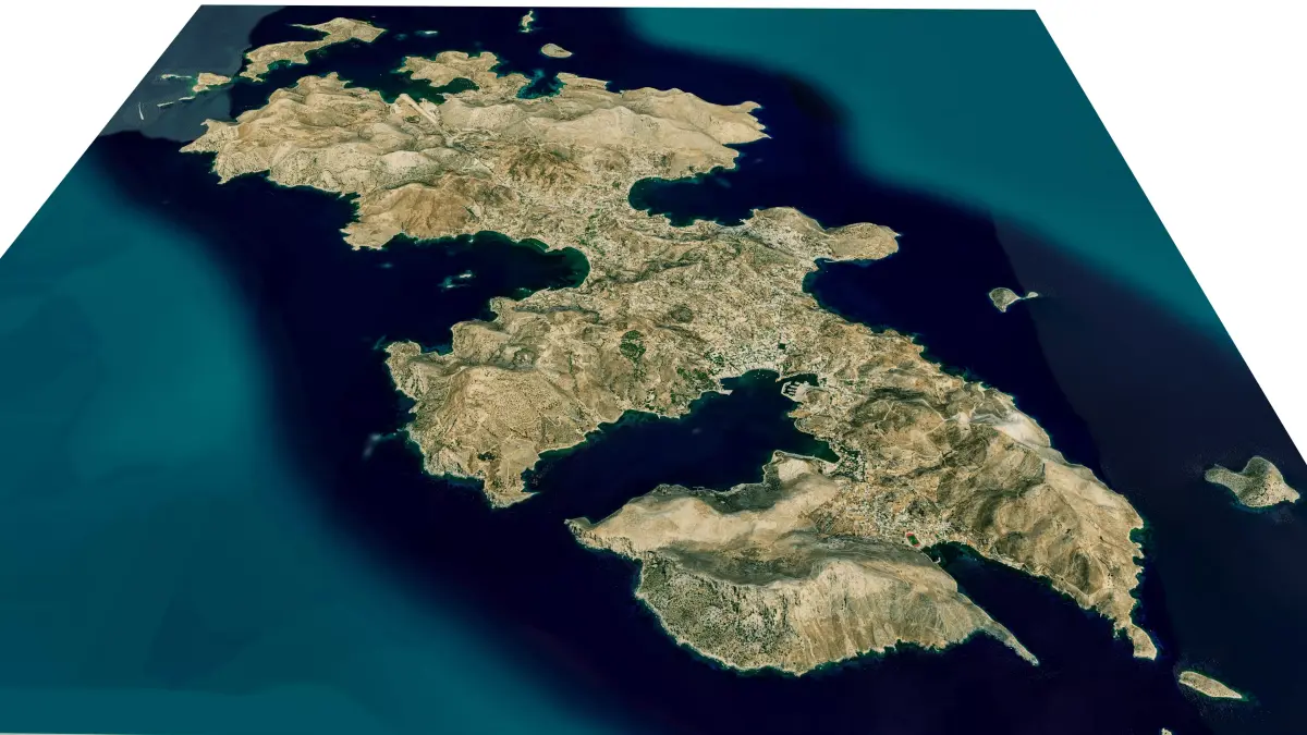
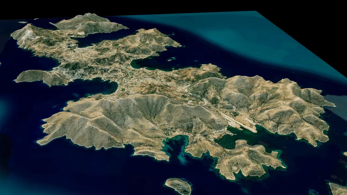
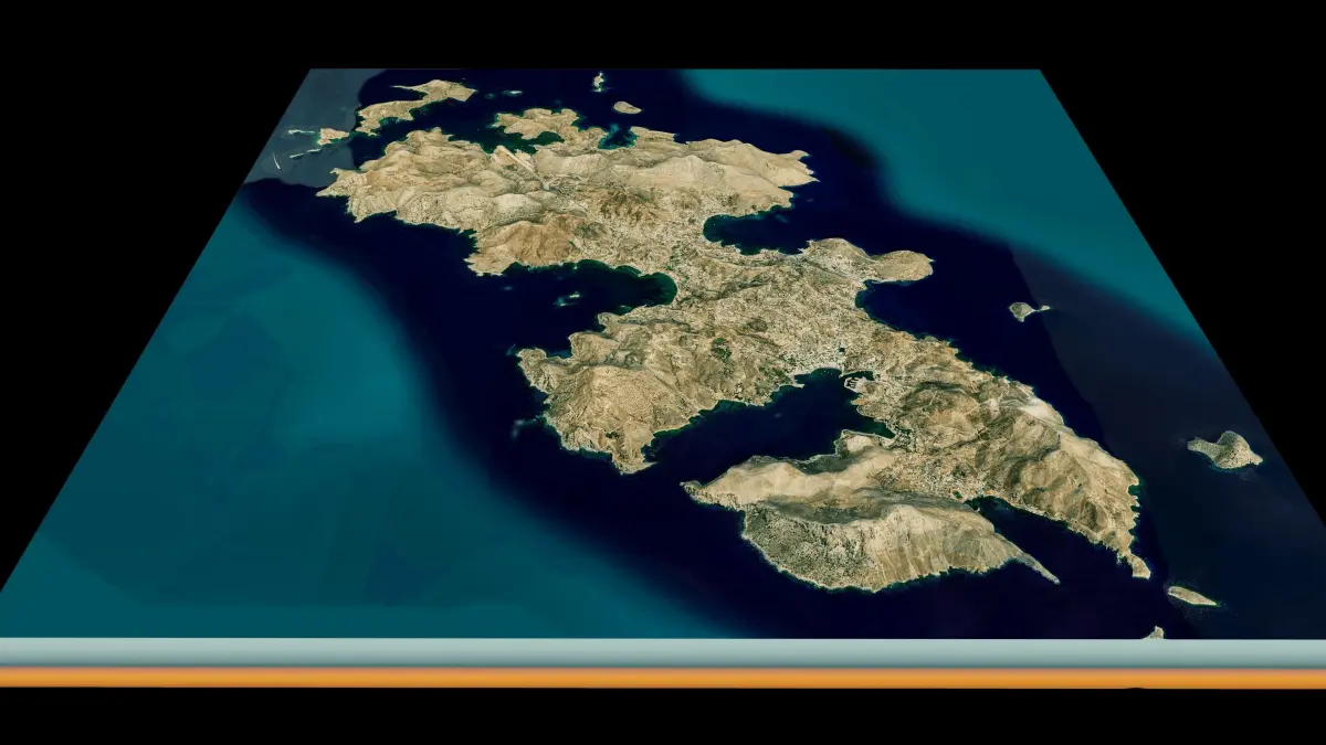
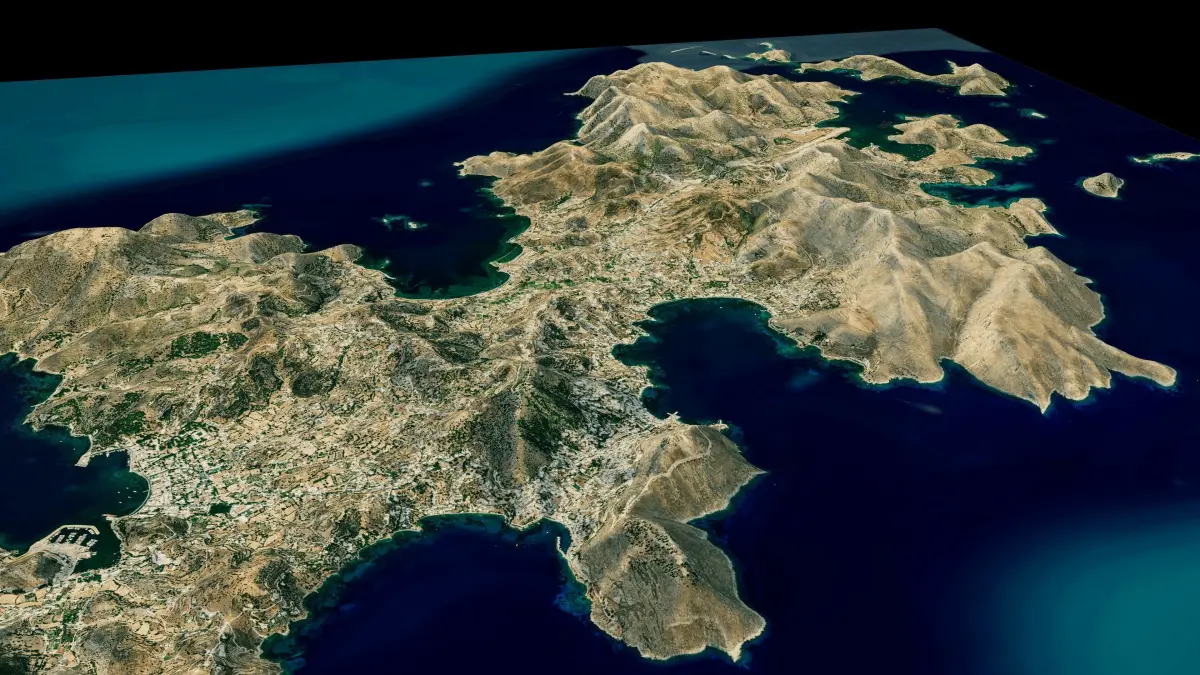
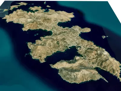
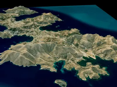
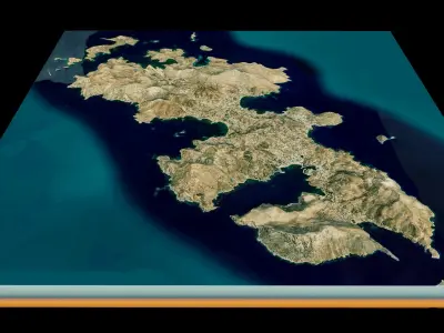
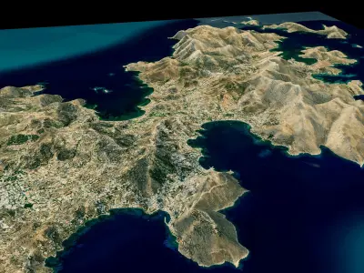
Leros island 3d model terrain. 3d model of Leros island with its landscape of mountains, beaches and forests.
3d model landscape of Leros island, Dodecanese islands, South Aegean, Greece.
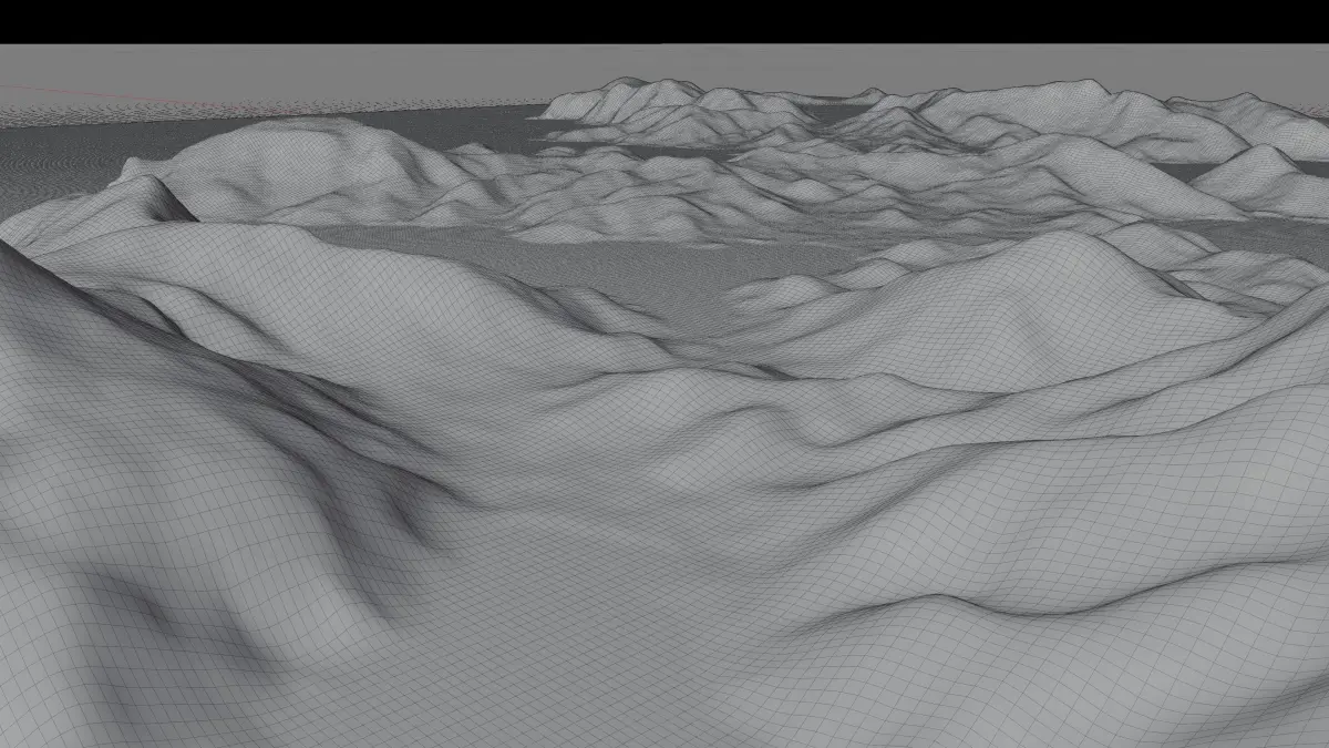
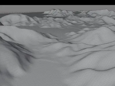
High Poly meshHigh detailed model
with 10K textures
- Diffuse map
- AO map
- Displacement map
- Normal map
- Roughness map
The Blend file do not require the displacement, but you can still use it if you want to create other terrain model yourself
texture example from the Leros island, Dodecanese islands, South Aegean, Greece. Leros, also called Lero, is a Greek island and municipality in the Dodecanese in the southern Aegean Sea. It lies 317 kilometres from Athens's port of Piraeus, from which it can be reached by a nine-hour ferry ride or by a 45-minute flight from Athens. It is about 32 kilometres from Turkey. Leros is located among the north Dodecanese group, just off the Turkish coast between Kos and Samos,
STL (Stereolithography, filesize: 59.8 MB), OBJ (OBJ, filesize: 80.5 MB), FBX (Autodesk FBX, filesize: 59.6 MB), BLEND (Blender, filesize: 23.6 MB), TEXTURES (Textures, filesize: 240 MB)