Los Angeles — Real-Scale 3D City Map | 2025 GIS-Based Data - Gökhan Emre Er
Built for creators who need a city that works — not just one that looks good...
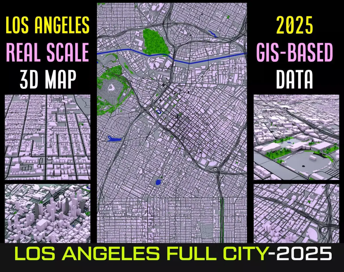
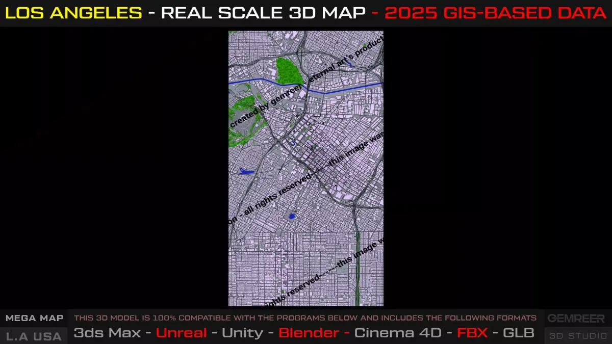
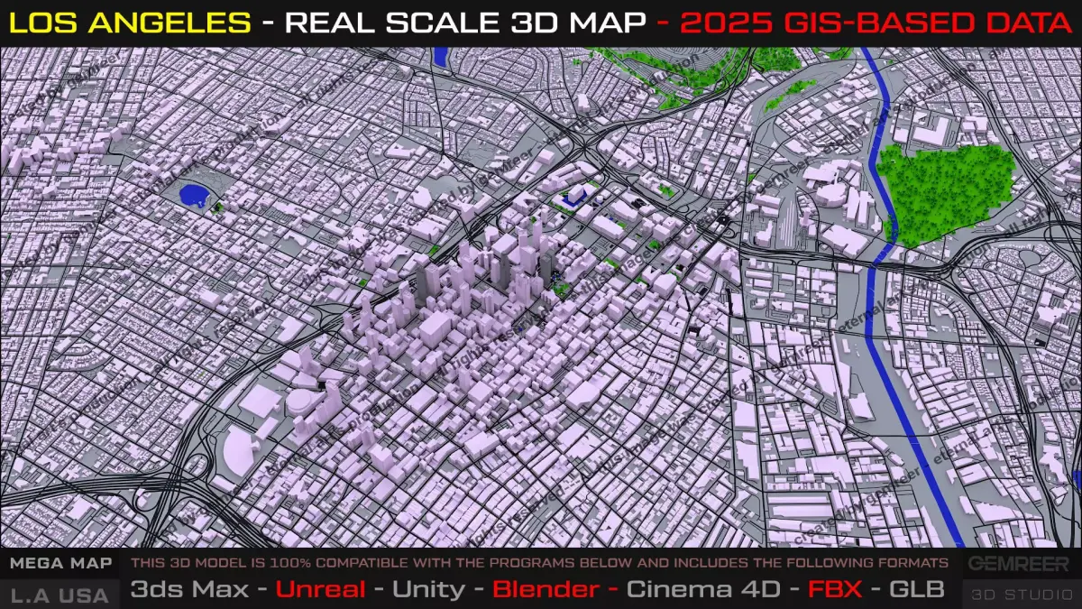
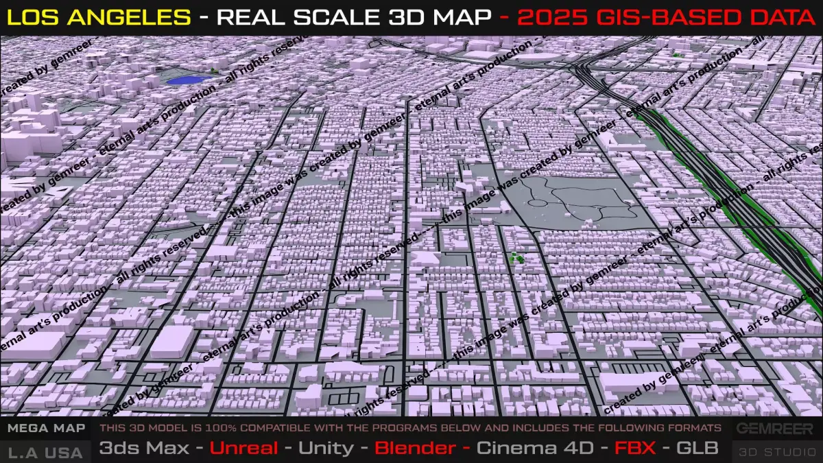
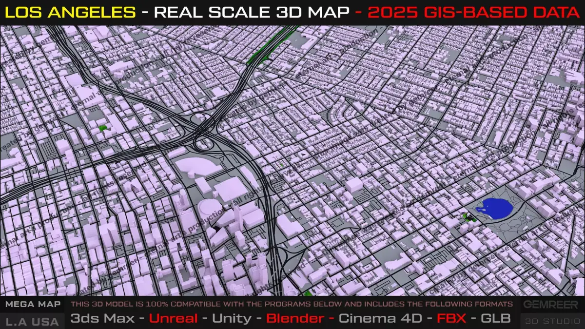
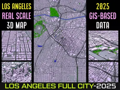
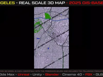
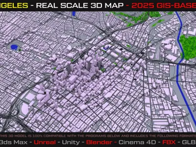
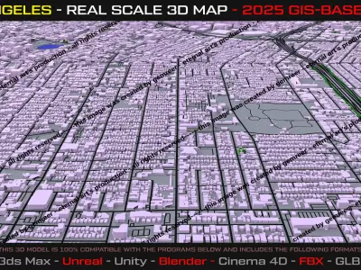
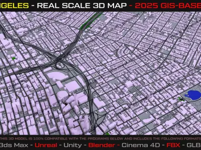
This product presents a real-scale, GIS-based 3D map of Los Angeles, covering the Downtown core and surrounding urban areas with accurate metropolitan proportions and functional city logic. Designed as a true urban layout, not a decorative mesh, this map is built to support cinematic productions, open-world prototyping, urban simulations, and large-scale visualization workflows.
The city structure reflects Los Angeles’ distinctive horizontal sprawl, road hierarchy, density transitions, green zones, and river corridors, offering a believable and expandable metropolitan foundation.
Key Features:
- Real-world scale urban proportions
- Downtown LA core + surrounding districts
- GIS-based city layout (2025 derived data)
- Clean, optimized block geometry
- Clear road hierarchy & readable city structure
- Engine-friendly topology
- Modular and extensible design
Important Notes:
- All Software platforms easy import.
- Buildings are intentionally block-based for performance and scalability
- Designed to be customized, detailed, or expanded by the user
Perfect For;
- Cinematic fly-throughs & matte shots
- Open-world and city-builder game prototyping
- Urban & traffic simulations
- Architectural and concept visualization
- Large-scale environment blocking
Broadcast and Game Teaser or Documantary; Premimum Los Angeles 3D Map Set.
BLEND (Blender, filesize: 47.2 MB), FBX (Autodesk FBX, filesize: 190 MB), MAX (Autodesk 3ds Max, filesize: 249 MB), C4D (Cinema 4D, filesize: 154 MB), GLTF (glTF, filesize: 186 MB)