Macquarie Island 3d Model Terrain 3D model
Home Catalog Macquarie Island 3d Model Terrain 3D model

Publication date: 2023-07-10
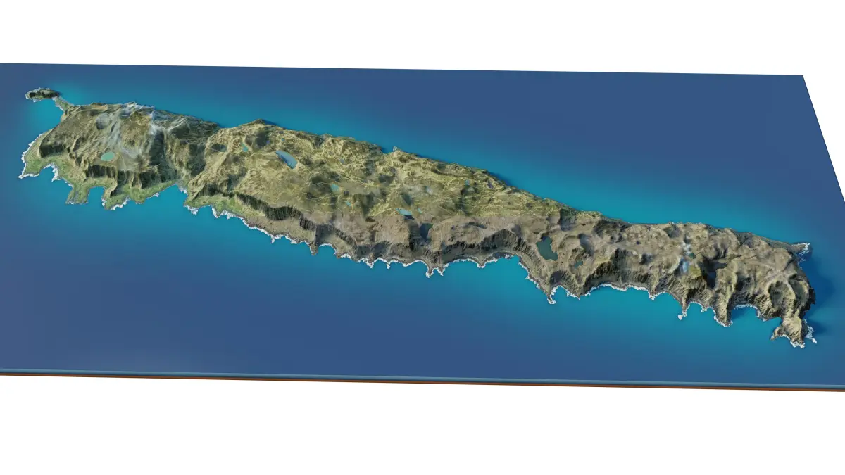
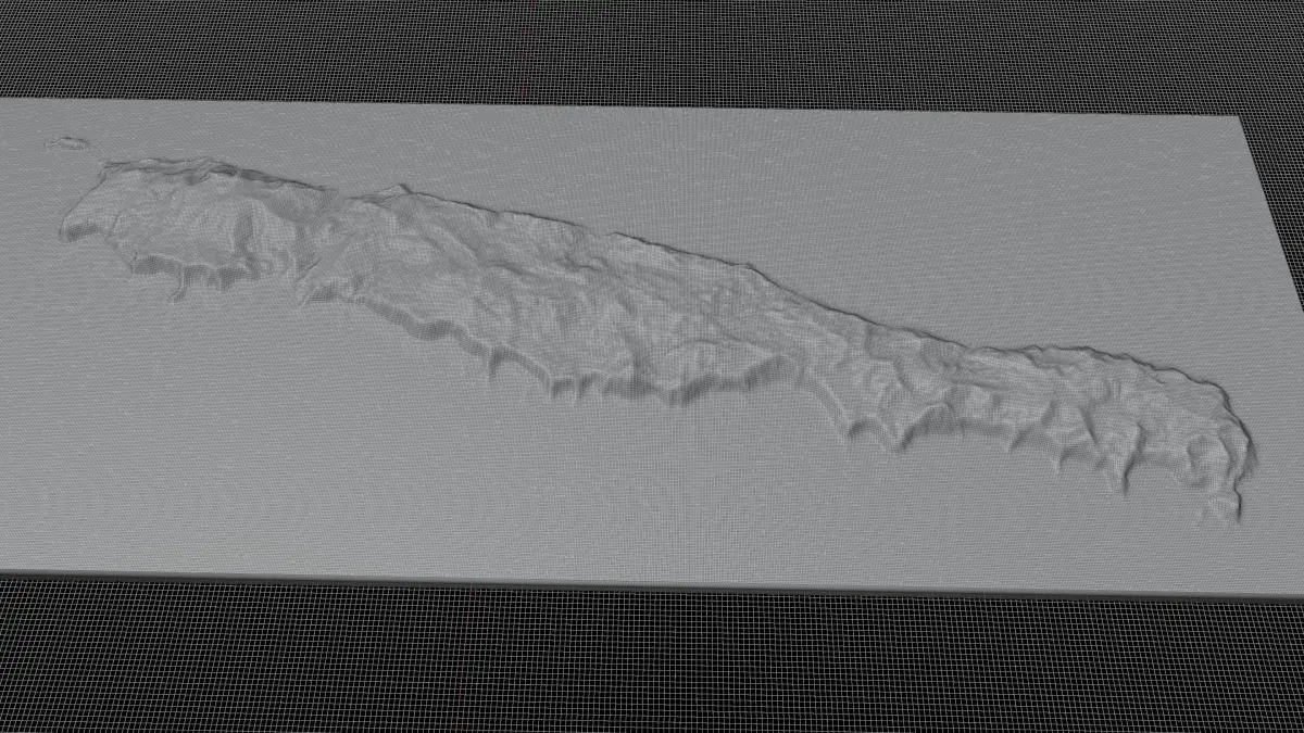
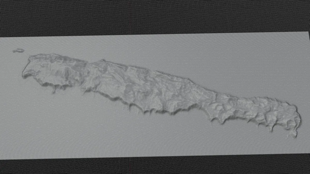
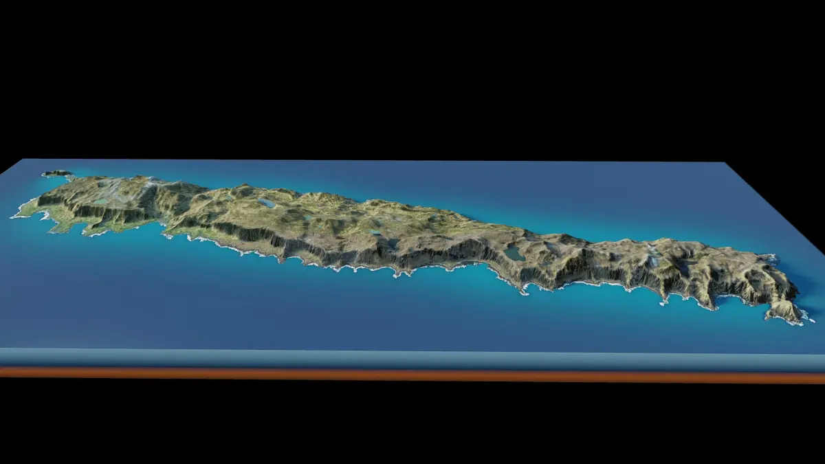
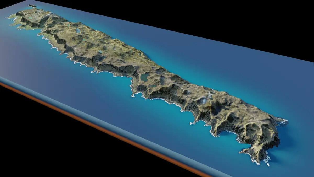
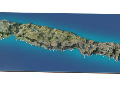
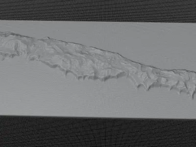
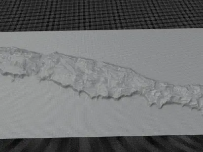
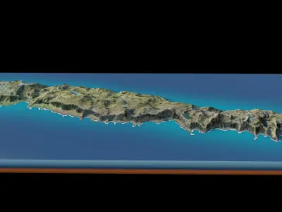
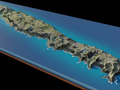
Macquarie Island 3d Model Terrain 3D model

$7

License: Royalty Free

author:

ridwansyah940

All content related to this 3D asset—including renders, descriptions, and metadata — is credited to its original author, «ridwansyah940». CGhub does not claim copyright ownership over the content used.
  • Description
  • Formats

Macquarie Island 3d Model Terrain. 3d model landscape of the Macquarie Island with its landscape of mountains, beaches and forests.

full 3d terrain model of Macquarie Island, Pacific Ocean, Australia.

High Poly meshHigh detailed model

with 13K textures

  • Diffuse map
  • AO map
  • Displacement map
  • Normal map
  • Roughness map

The Blend file do not require the displacement, but you can still use it if you want to create other island model yourself

Texture example from the Macquarie Island, Pacific Ocean, Australia. Macquarie Island is an island in the southwestern Pacific Ocean, about halfway between New Zealand and Antarctica. Regionally part of Oceania and politically a part of Tasmania, Australia, since 1900, it became a Tasmanian State Reserve in 1978 and was inscribed as a UNESCO World Heritage Site in 1997.

STL (Stereolithography, filesize: 29.1 MB), OBJ (OBJ, filesize: 38.3 MB), BLEND (Blender, filesize: 11.5 MB), FBX (Autodesk FBX, filesize: 28.1 MB)

3D Model details

  • cgtrader Platform
  • Animated
  • Rigged
  • Ready for 3D Printing
  • VR / AR / Low-poly
  • PBR
  • Textures
  • Materials
  • UV Mapping
  • Polygons: 303521
  • Vertices: 304753
  • Geometry: Unknown
Similar models