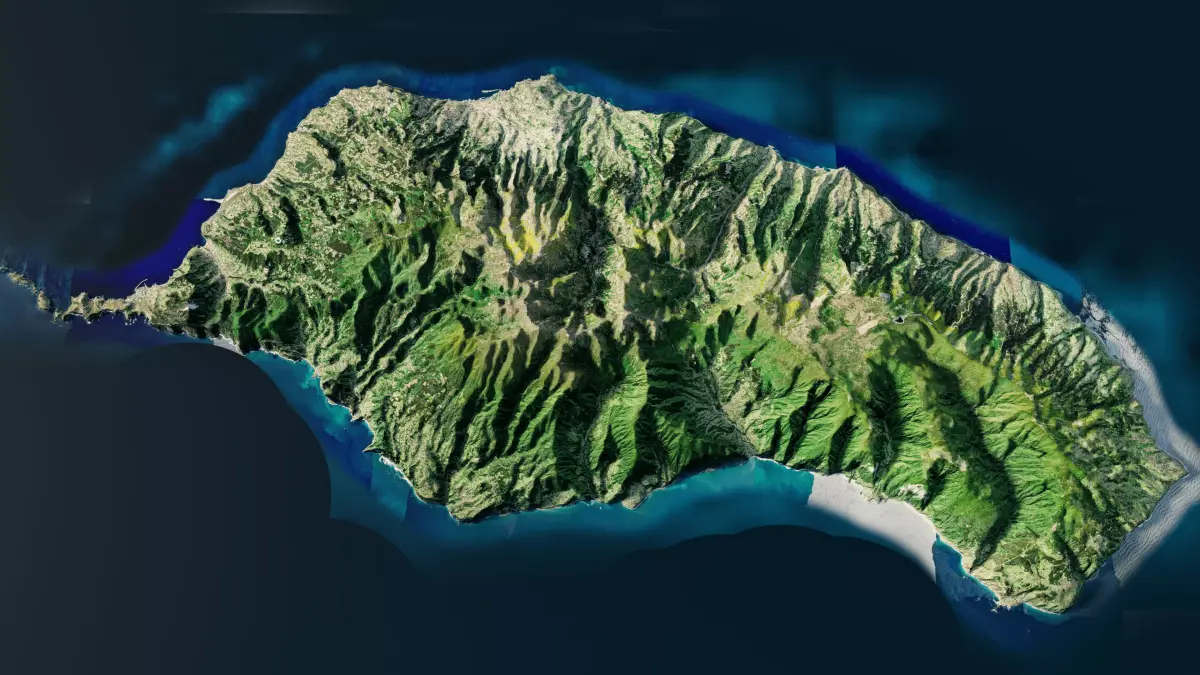
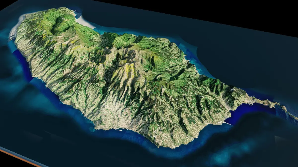
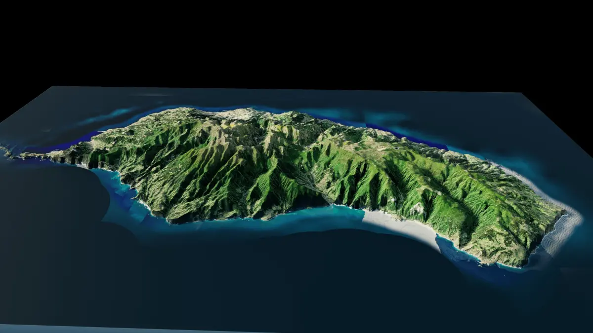
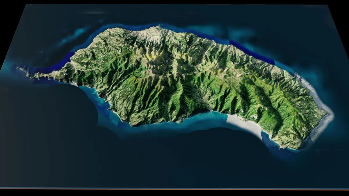
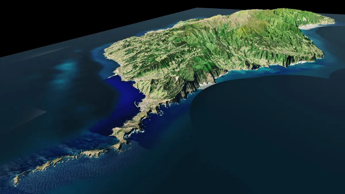
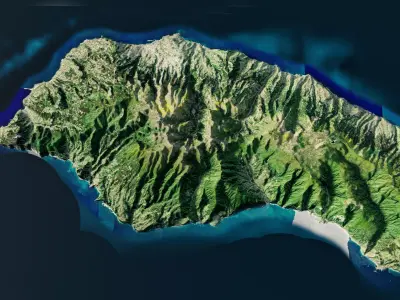
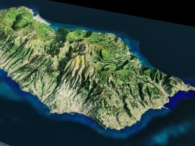
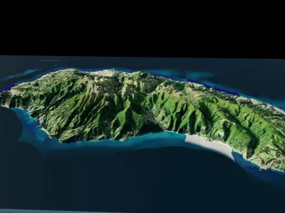
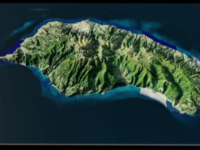
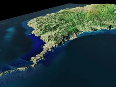
Madeira Island full 3d model terrain. 3d model of the Island of Madeira with its landscape of mountains, beaches and forests
3d model landscape of Madeira Island, Autonomous Region of Madeira, Portugal.
High Poly meshHigh detailed model
with 8K textures
- Diffuse map
- AO map
- Displacement map
- Normal map
- Roughness map
The Blend file do not require the displacement, but you can still use it if you want to create other island model yourself
texture example from the Madeira Island, Autonomous Region of Madeira, Portugal. Madeira is the main island of the Madeira archipelago, an autonomous region of Portugal, off Africa’s northwest coast. The rugged, volcanic landscape is crisscrossed with levadas (old irrigation channels) with footpaths. A trail ascends the peak of Pico Ruivo. Dotted around the island are wineries producing fortified Madeira wine. On the south coast, the capital, Funchal, is known for its 16th-century cathedral.
BLEND (Blender, filesize: 16.3 MB), OBJ (OBJ, filesize: 55.5 MB), FBX (Autodesk FBX, filesize: 40.7 MB), TEXTURES (Textures, filesize: 83.1 MB), STL (Stereolithography, filesize: 41.3 MB)