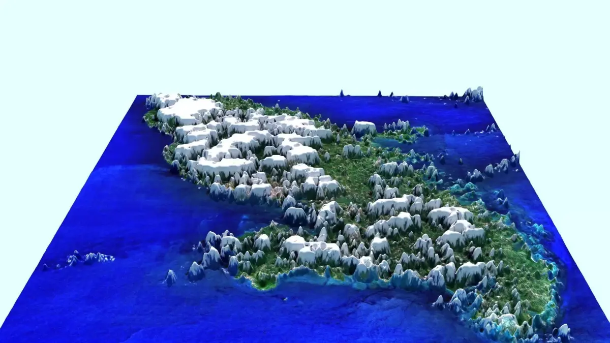
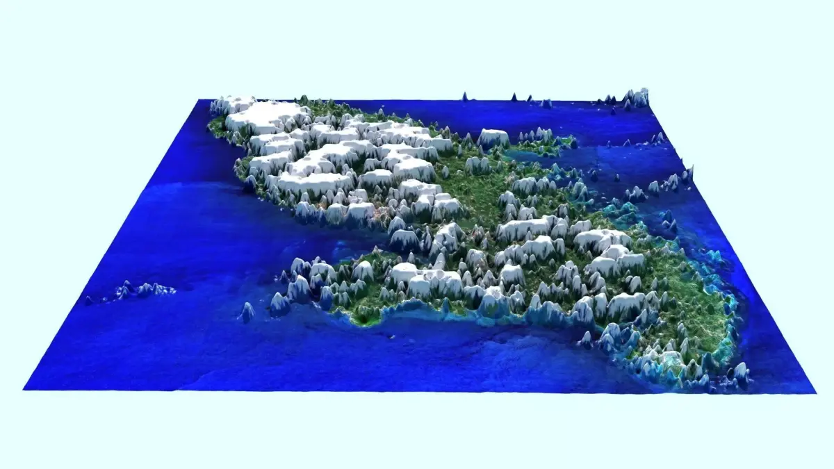
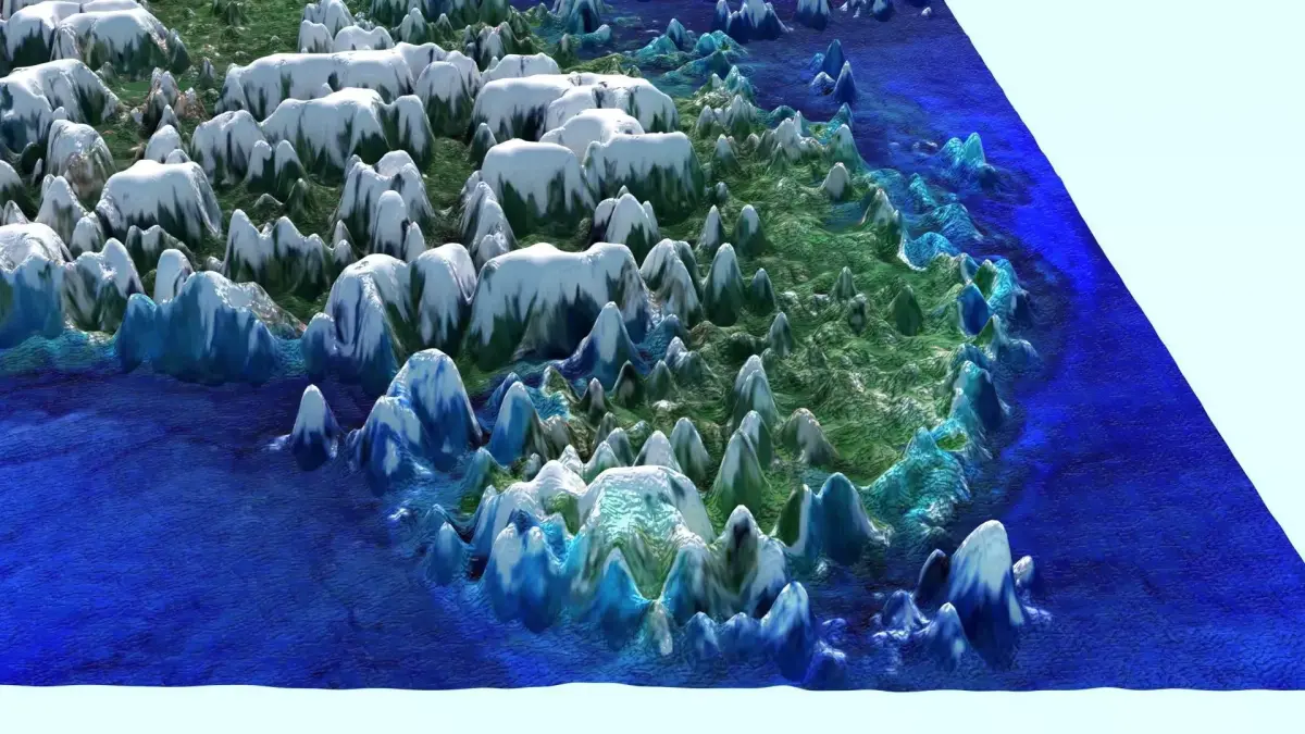
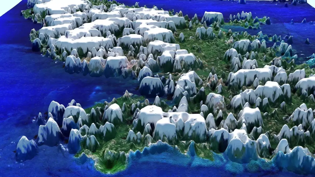
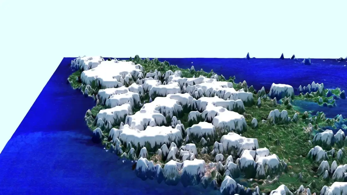
DescriptionMartinique is an island in the Lesser Antilles of the West Indies, in the eastern Caribbean Sea. A part of the French West Indies (Antilles), Martinique is an overseas department and region and a single territorial collectivity of France. It is a part of the European Union as an outermost region within the special territories of members of the European Economic Area, and an associate member of the CARICOM, the Organization of Eastern Caribbean States (OECS), the Association of Caribbean States (ACS), and the Economic Commission for Latin America and the Caribbean (ECLAC) but is not part of the Schengen Area or the European Union Customs Union. The currency in use is the euro. It has been a UNESCO Biosphere Reserve since 2021 for its entire land and sea territory. In September 2023, the volcanoes and forests of Mount Pelée and the peaks of northern Martinique, in particular the Pitons du Carbet, were listed as UNESCO World Heritage Sites. Martinique has a land area of 1,128 km2 (436 sq mi) and a population of 349,925 inhabitants as of January 2024. One of the Windward Islands, it lies directly north of Saint Lucia, northwest of Barbados and south of Dominica. Virtually the entire population speaks both French (the sole official language) and Martinican Creole. It is thought that Martinique is a corruption of the Taíno name for the island (Madiana/Madinina, meaning 'island of flowers', or Matinino, 'island of women'), as relayed to Christopher Columbus when he visited the island in 1502. According to historian Sydney Daney, the island was called Jouanacaëra or Iouanacaera by the Caribs, which means 'the island of iguanas'.
Pre-European contact and early colonial periodsThe island was occupied first by Arawaks, then by Caribs. The Arawaks came from Central America in the 1st century AD and the Caribs came from the Venezuelan coast around the 11th century. Christopher Columbus charted Martinique (without landing) in 1493, during his second voyage, but Spain had little interest in the territory. Columbus landed during a later voyage, on 15 June 1502, after a 21-day trade wind passage, his fastest ocean voyage. He spent three days there refilling his water casks, bathing and washing laundry. The indigenous people encountered by Columbus called Martinique Matinino. He was told by indigenous people of San Salvador that the island of Matinino was entirely populated by women on whom the Caribs descended at certain seasons of the year; and if these women bore sons they were entrusted to the father to bring up. In 1635, Spain formally ceded Martinique to France after 133 years of Spanish rule. On 15 September 1635, Pierre Belain d'Esnambuc, French governor of the island of St. Kitts, landed in the harbour of St. Pierre with 80 to 150 French settlers after being driven off St. Kitts by the English. D'Esnambuc claimed Martinique for the French king Louis XIII and the French Compagnie des Îles de l'Amérique (Company of the American Islands), and established the first European settlement at Fort Saint-Pierre (now St. Pierre). D'Esnambuc died in 1636, leaving the company and Martinique in the hands of his nephew, Jacques Dyel du Parquet, who in 1637 became governor of the island. In 1636, in the first of many skirmishes, the indigenous Kalinago rose against the settlers to drive them off the island. The French repelled the natives and forced them to retreat to the eastern part of the island, on the Caravelle Peninsula in the region then known as the Capesterre. When the Caribs revolted against French rule in 1658, the governor Charles Houël du Petit Pré retaliated with war against them. Many were killed, and those who survived were taken captive and expelled from the island. Some Caribs fled to Dominica or St. Vincent, where the French agreed to leave them at peace. After the death of du Parquet in 1658, his widow Marie Bonnard du Parquet tried to govern Martinique, but dislike of her rule led King Louis XIV to take over the sovereignty of the island. In 1654, Dutch Jews expelled from Portuguese Brazil introduced sugar plantations worked by large numbers of enslaved Africans. In 1667, the Second Anglo-Dutch War spilled out into the Caribbean, with Britain attacking the pro-Dutch French fleet in Martinique, virtually destroying it and further cementing British preeminence in the region. In 1674, the Dutch attempted to conquer the island, but were repulsed. Because there were few Catholic priests in the French Antilles, many of the earliest French settlers were Huguenots who sought religious freedom. Others were transported there as a punishment for refusing to convert to Catholicism, many of them dying en route. Those who survived were quite industrious and over time prospered, though the less fortunate were reduced to the status of indentured servants. Although edicts from King Louis XIV's court regularly came to the islands to suppress the Protestant heretics, these were mostly ignored by island authorities until Louis XIV's Edict of Revocation in 1685. As many of the planters on Martinique were Huguenots suffering under the harsh strictures of the Revocation, they began plotting to emigrate from Martinique with many of their recently arrived brethren. Many of them were encouraged by the Catholics, who looked forward to their departure and the opportunities for seizing their property. By 1688, nearly all of Martinique's French Protestant population had escaped to the British American colonies or Protestant countries in Europe. The policy decimated the population of Martinique and the rest of the French Antilles and set back their colonisation by decades, causing the French king to relax his policies in the region, which left the islands susceptible to British occupation over the next century.
Texture Resolution: 3565 x 3915
MAX (Autodesk 3ds Max, filesize: 664 KB), JPG (JPG, filesize: 51.9 MB), PNG (PNG, filesize: 51.9 MB)