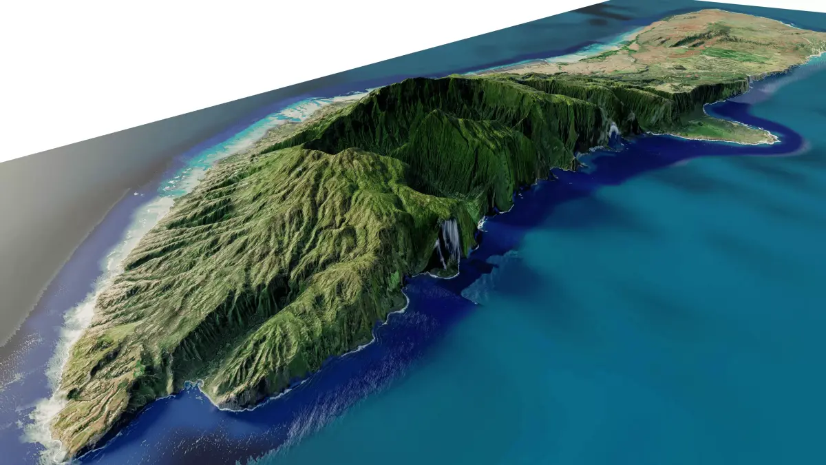
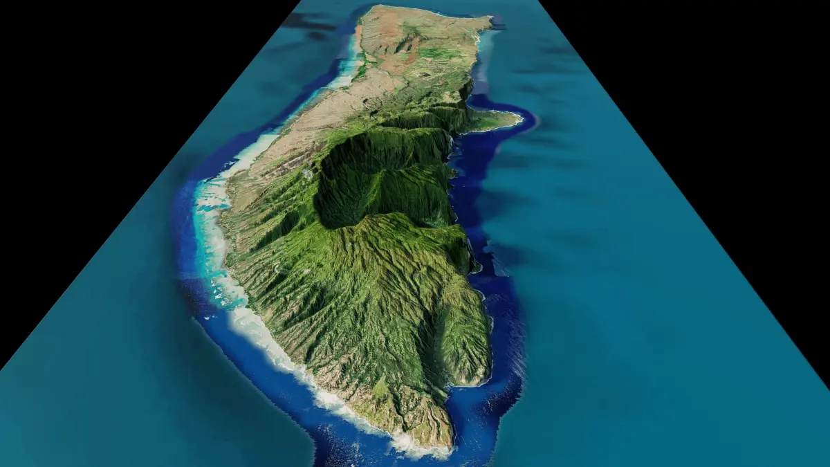
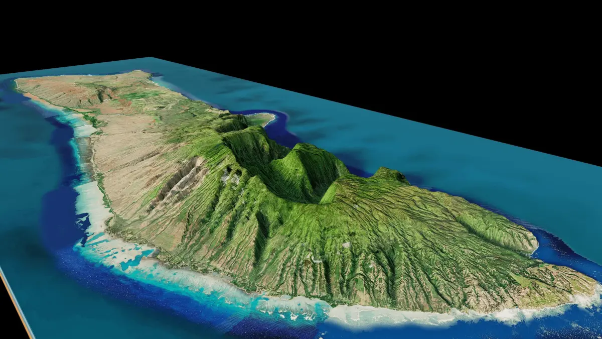
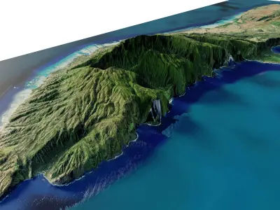
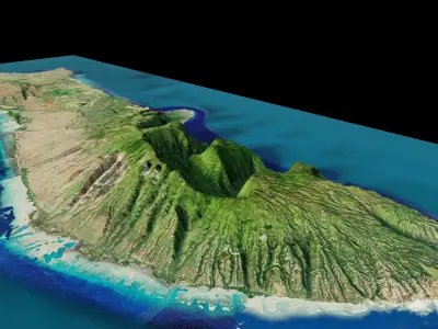
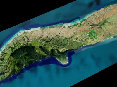
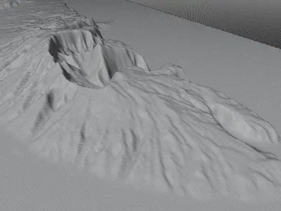
Molokai island full 3d model terrain. 3d model of the Island of Molokai with its cityscape, landscape of mountains, beaches and forests
3d model landscape of Moloka‘i island, Hawaii, USA.
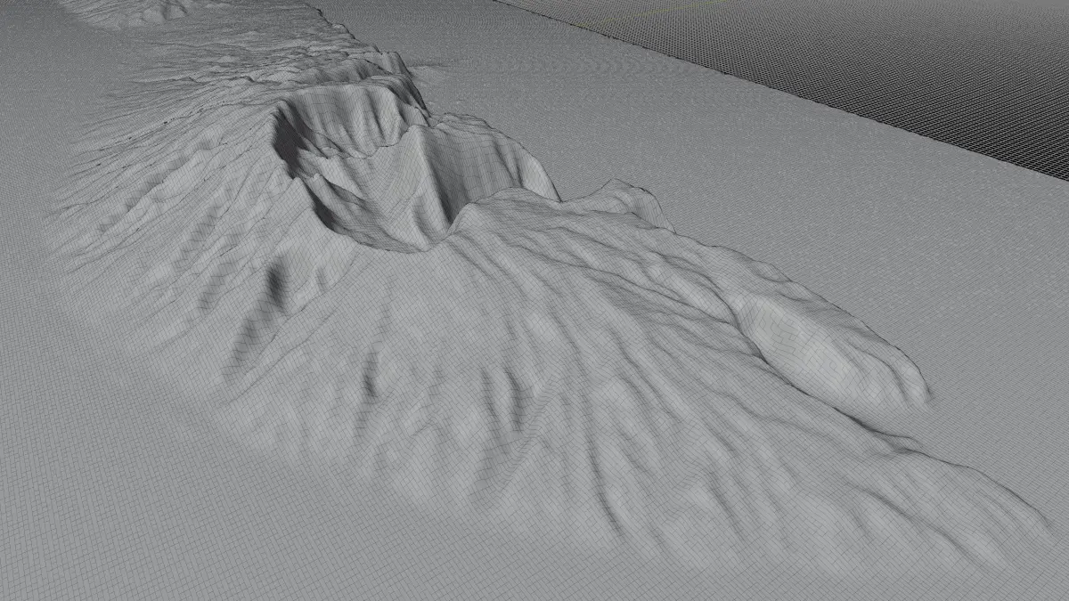
High Poly meshHigh detailed model
with 15K textures
- Diffuse map
- AO map
- Displacement map
- Normal map
- Roughness map
The Blend file do not require the displacement, but you can still use it if you want to create other island model yourself
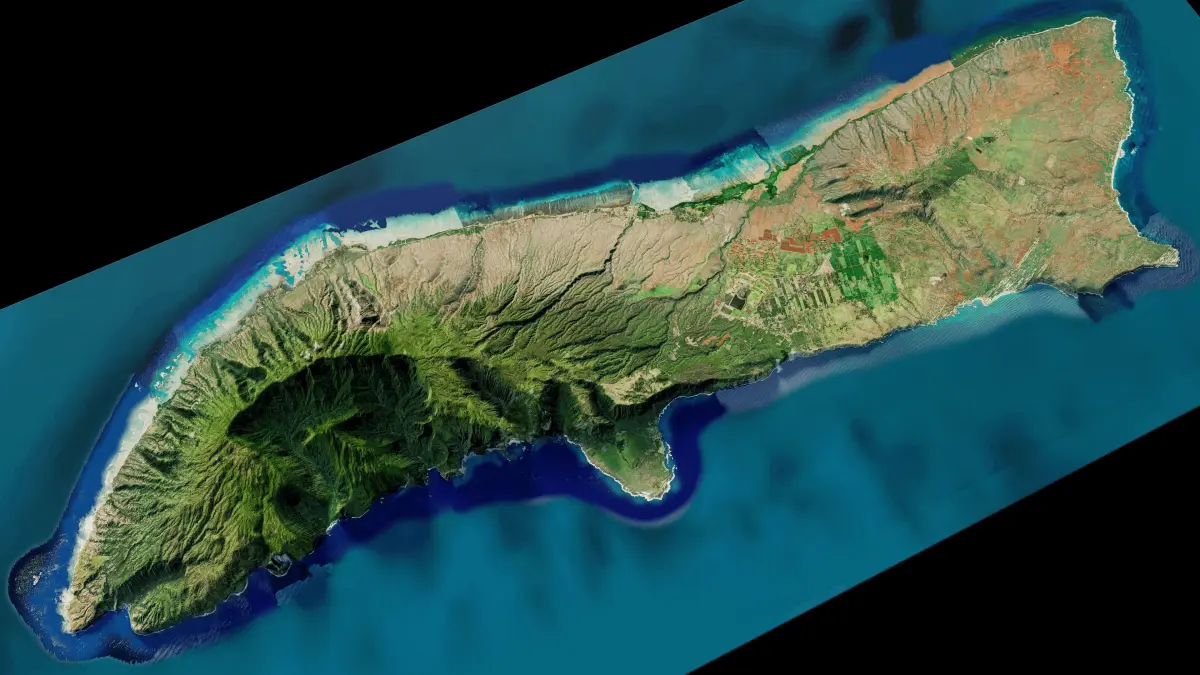
texture example from the Moloka‘i island, Hawaii, USA. Molokai is the fifth most populated of the eight major islands that make up the Hawaiian Islands archipelago in the middle of the Pacific Ocean. On the island's northern Kalaupapa Peninsula is a steep path leading to Kalaupapa National Historical Park, an isolated former leper colony below towering cliffs. The site can also be viewed from the clifftop Kalaupapa Lookout in Palaau State Park. Nearby, the park’s Phallic Rock is said to have fertility powers.
BLEND (Blender, filesize: 11.2 MB), OBJ (OBJ, filesize: 38.4 MB), FBX (Autodesk FBX, filesize: 27.6 MB), STL (Stereolithography, filesize: 28.6 MB), TEXTURES (Textures, filesize: 270 MB)