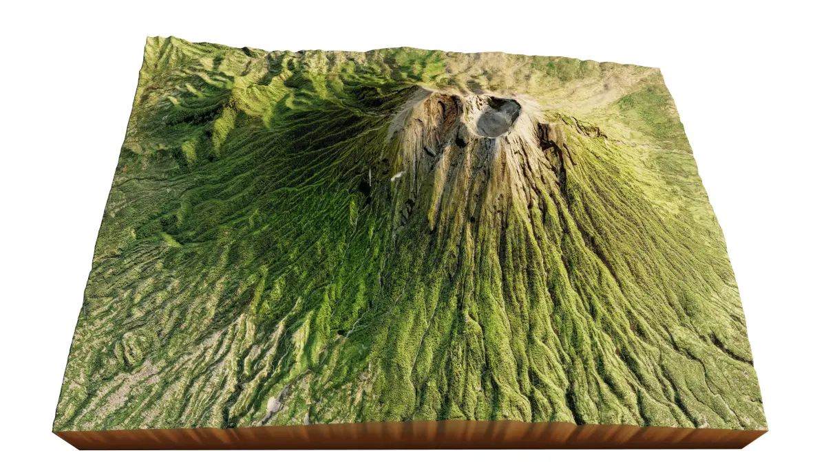
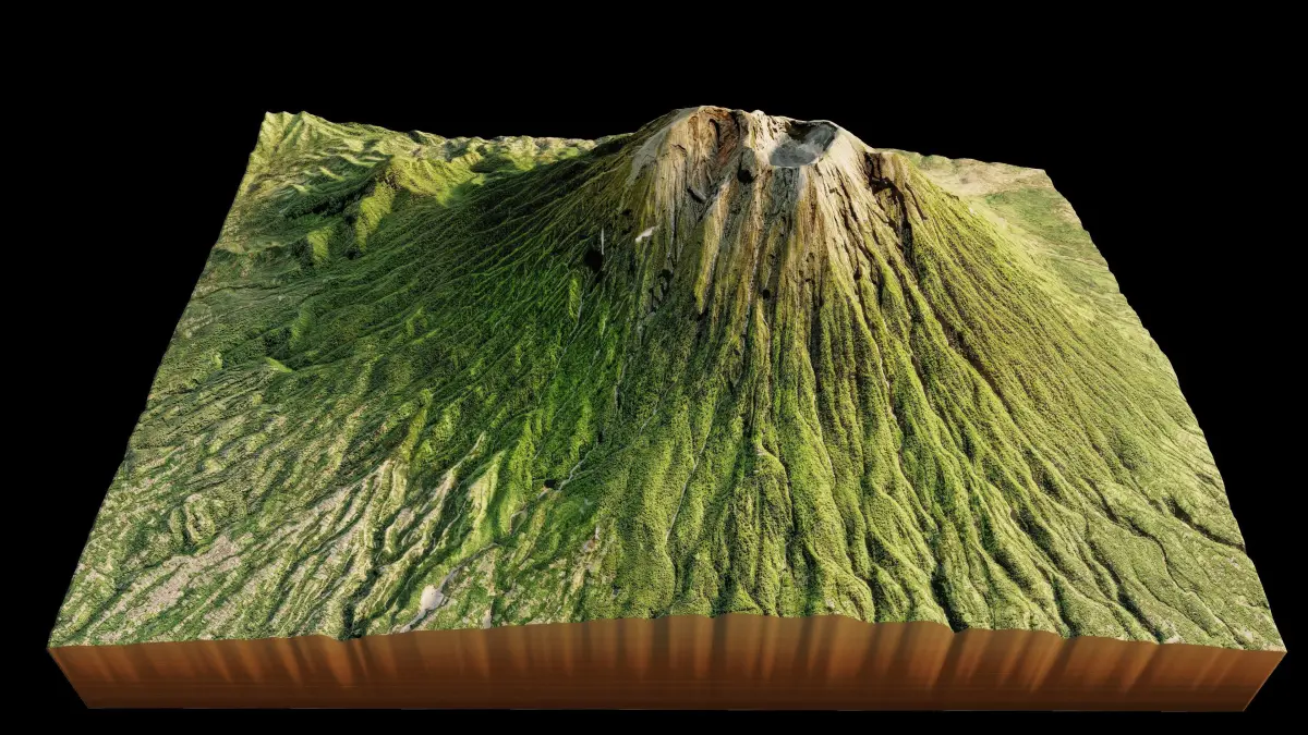
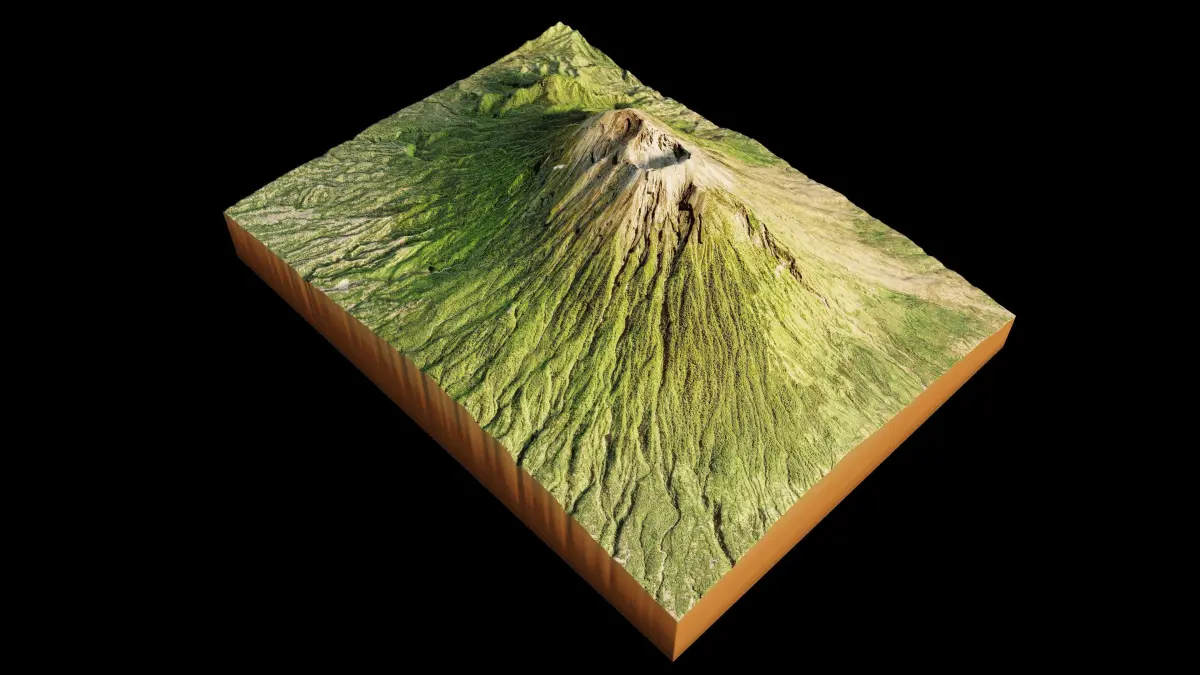
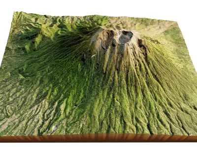
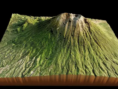
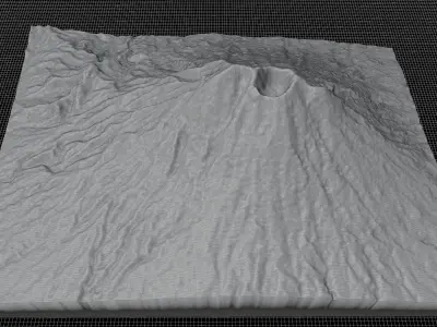
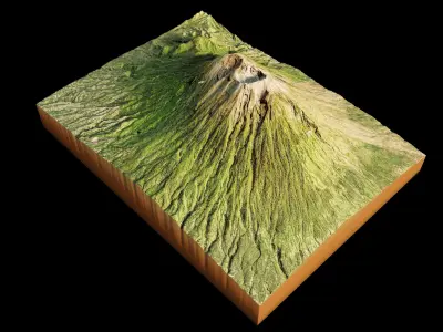
Mount Agung 3d model terrain. 3d model landscape of the Mount Agung
3d model landscape of Mount Agung, Karangasem Regency, Bali, Indonesia.
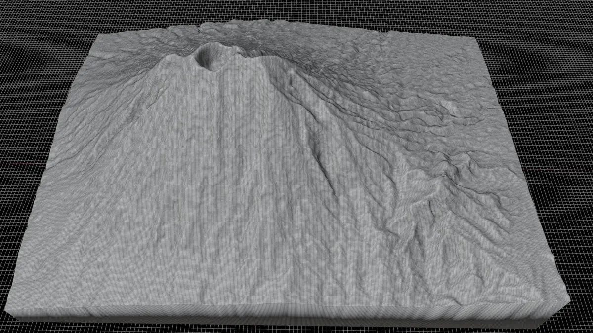
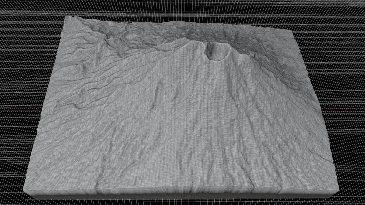
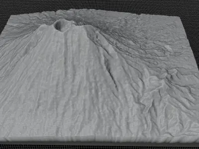
High Poly meshHigh detailed model
with 8K textures
- Diffuse map
- AO map
- Displacement map
- Normal map
- Roughness map
The Blend file do not require the displacement, but you can still use it if you want to create other island model yourself
texture example from the Mount Agung, Karangasem Regency, Bali, Indonesia. Mount Agung is an active volcano in Bali, Indonesia, southeast of Mount Batur volcano, also in Bali. It is the highest point on Bali, and dominates the surrounding area, influencing the climate, especially rainfall patterns. From a distance, the mountain appears to be perfectly conical. From the peak of the mountain, it is possible to see the peak of Mount Rinjani on the nearby island of Lombok, to the east, although both mountains are frequently covered in clouds. Agung is a stratovolcano, with a large and deep crater. Its most recent eruptions occurred from
STL (Stereolithography, filesize: 20.6 MB), OBJ (OBJ, filesize: 33.8 MB), FBX (Autodesk FBX, filesize: 27.1 MB), BLEND (Blender, filesize: 9.92 MB), TEXTURES (Textures, filesize: 259 MB)