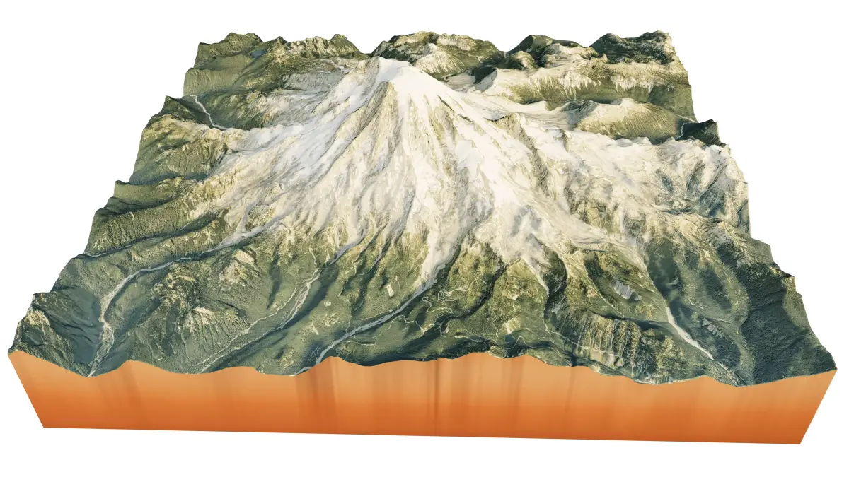
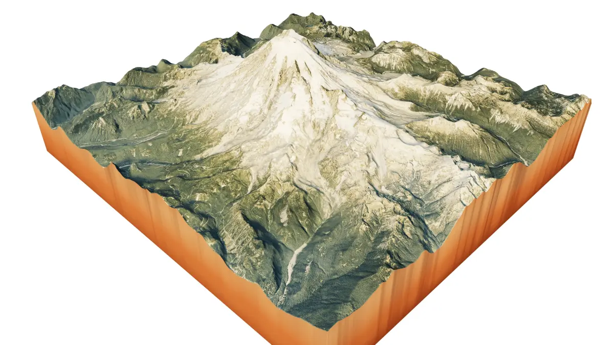
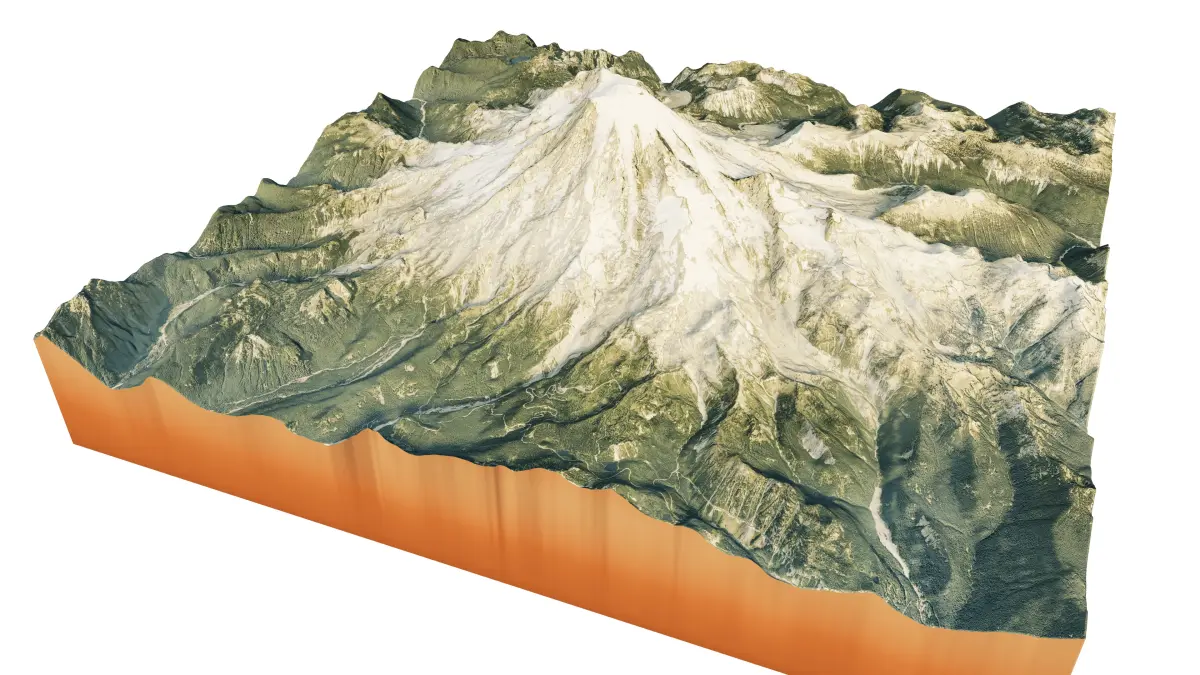
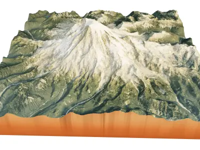
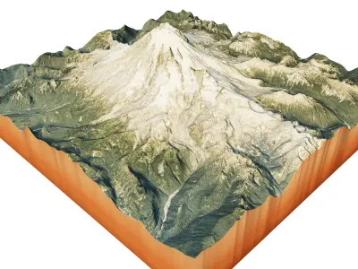
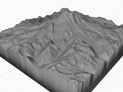
Rainier volcano 3d model terrain, Tahoma stratovolcano 3d landscape model
3d model landscape of Rainier volcano, Cascade mount range, Mount Rainier National Park, Washington, United States.
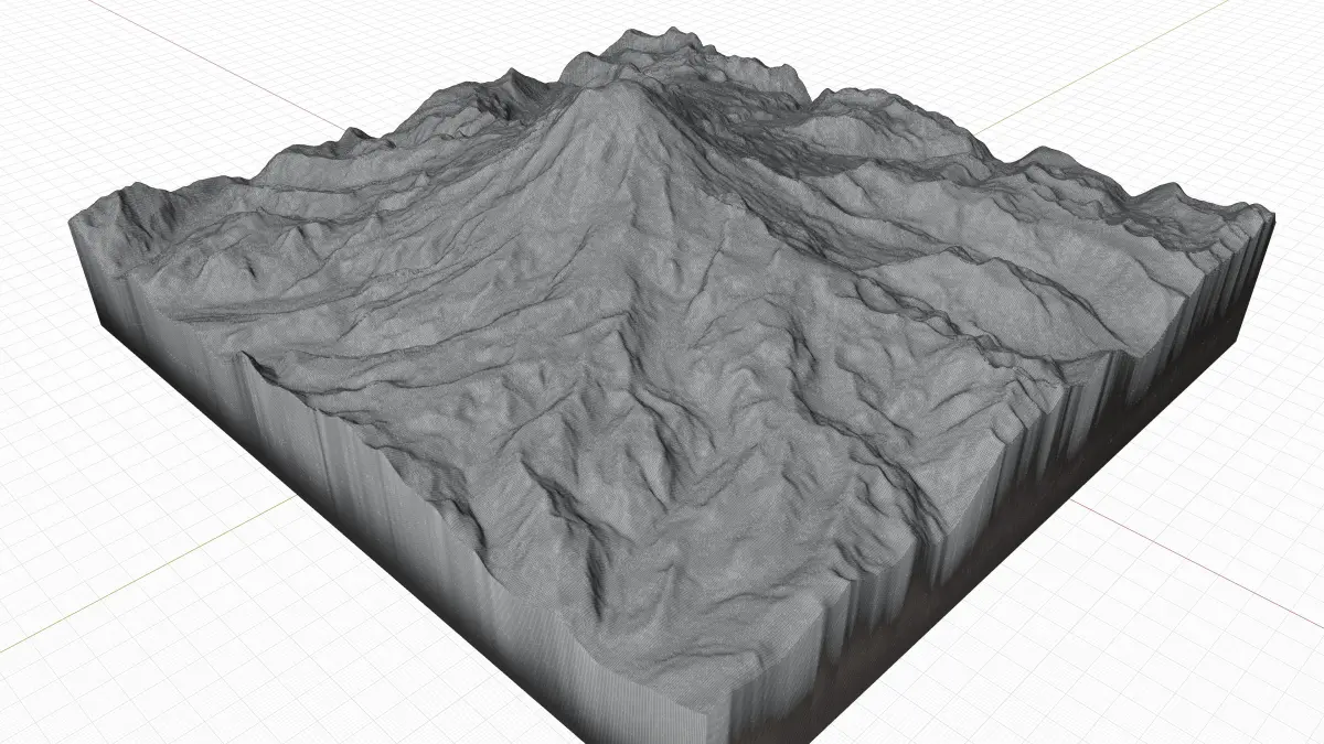
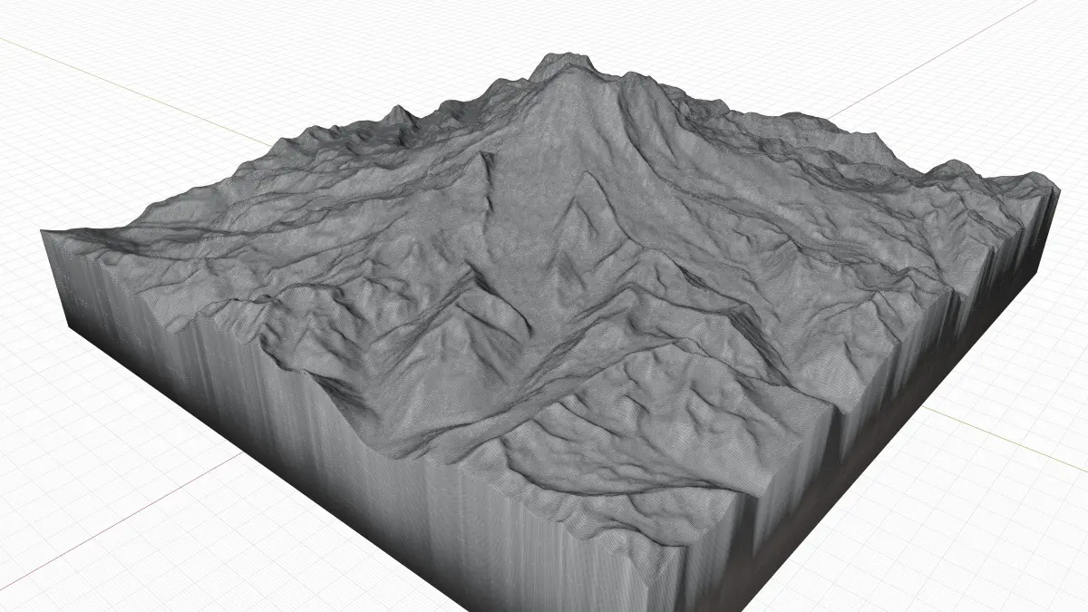
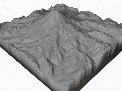
High Poly meshHigh detailed model
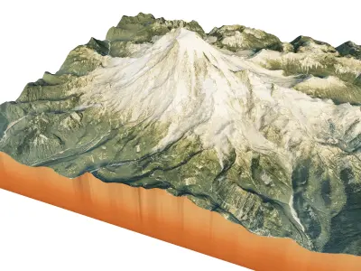
with 10K textures
- Diffuse map
- AO map-Displacement map-Normal map-Roughness map
The Blend file do not require the displacement, but you can still use it if you want to create other Mountain model yourself
texture example from Rainier volcano, Cascade mount range, Mount Rainier National Park, Washington, United States. Mount Rainier, also known as Tahoma, is a large active stratovolcano in the Cascade Range of the Pacific Northwest in the United States. Mount Rainier is the highest mountain in the U.S. state of Washington, the most topographically prominent mountain in the contiguous United States, and the tallest in the Cascade Volcanic Arc. Mount Rainier is considered one of the most dangerous volcanoes in the world, and it is on the Decade Volcano list.
STL (Stereolithography, filesize: 48.3 MB), OBJ (OBJ, filesize: 81.4 MB), TEXTURES (Textures, filesize: 485 MB), PNG (PNG, filesize: 485 MB), FBX (Autodesk FBX, filesize: 63.1 MB), BLEND (Blender, filesize: 22.3 MB)