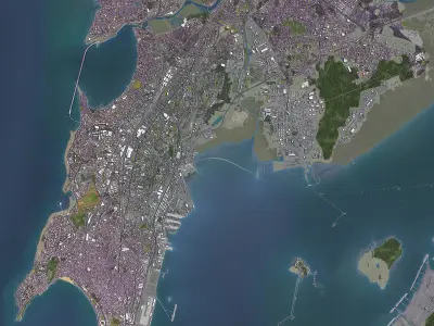
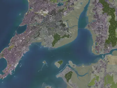
- Coordinate reference system: WGS 84 / UTM zone 43N (EPSG:32643)
- Scene sizes:
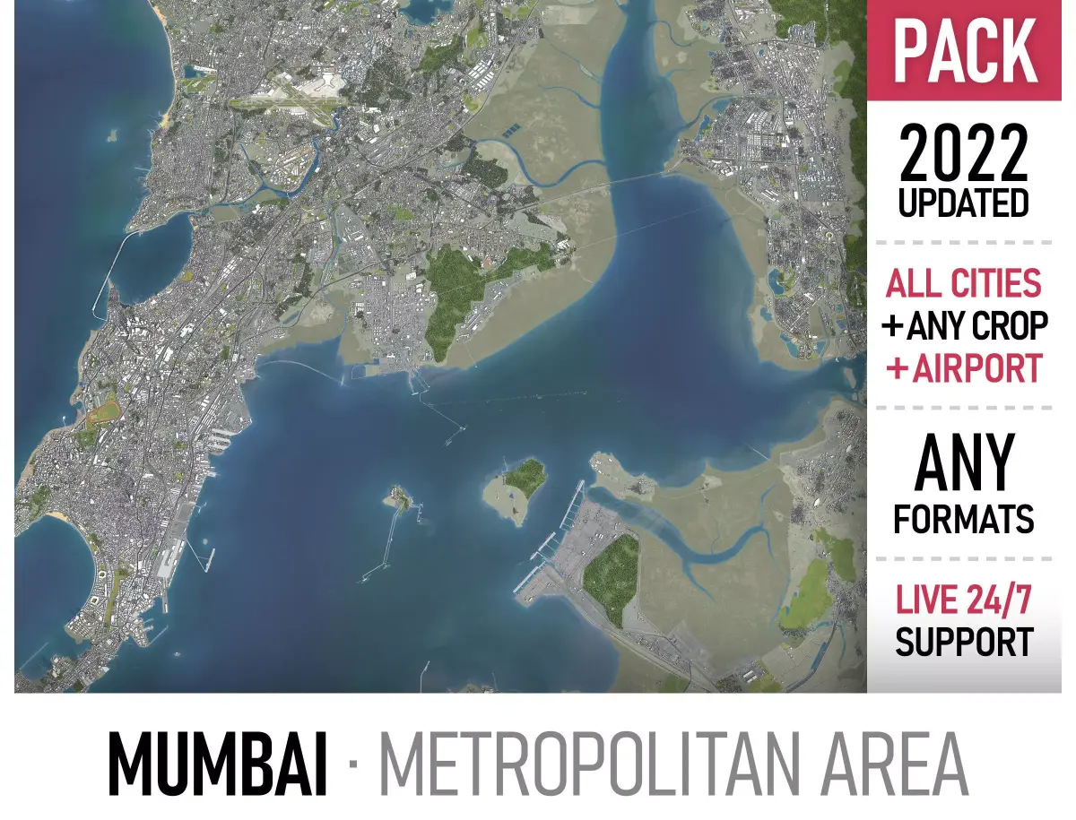
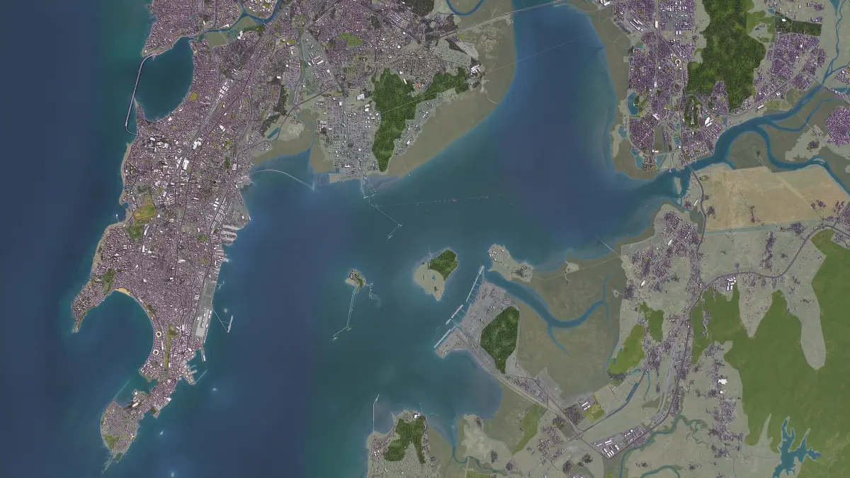
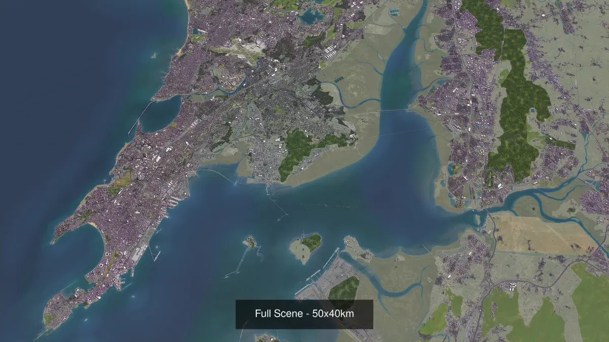
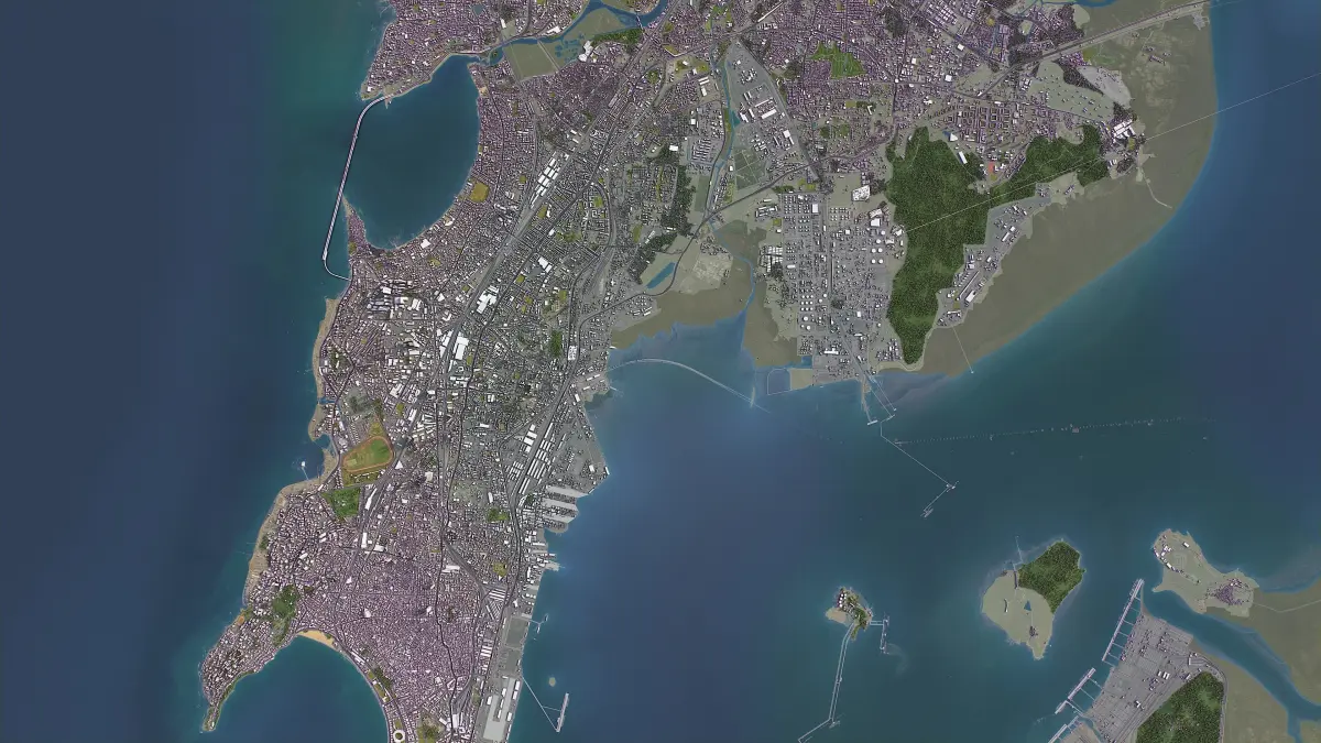
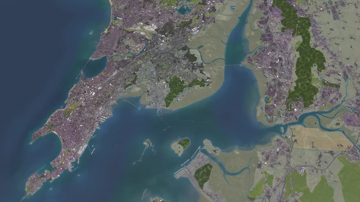
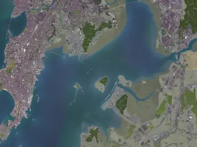
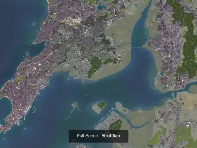
- 80 x 80 km - Complete scene
- 50 x 25 km - Mumbai
- 50 x 30 km - Navi Mumbai
- 8 x 8 km - Chhatrapati Shivaji International Airport (BOM)
- Units: Meters
- Scale: 1 : 1
- Data used: July 2022
- SEND US A MESSAGE
- Get FREE sample model
- Flexible pricing and discounts
- Customization and adjustments
- Any scene size (custom area crop)
- Any coordinate reference system
- Various levels of detail (LODs)
- Update to the latest data
- PACKAGE CONTENTS
- This product includes scenes of various sizes and formats
- File formats (software supported)
- MAX - Autodesk 3dsMax
- FBX, OBJ, DAE - Exchange Formats
- GLTF, GLB - Games, Web, AR/VR (request)
- UNITYPACKAGE - Unity 3D
- 3DM - Rhino 3D
- SKP - SketchUp
- RVT - Autodesk Revit
- STL - 3D Print (request)
- C4D - Cinema4D
- BLEND - Blender
- MA, MB - Autodesk Maya
- DWG, DXF - Autodesk AutoCAD
- BASIC OPTIONS (included with the purchase)
- KEY BENEFITS
- 24/7 customer support
- 10+ detailed landmarks with the regular updates and improvements
- High-resolution surface texture (1 meter resolution satellite image)
- 100% buildings coverage from buildings footprint polygon geometries
- Buildings, landuse areas, roads and railways split by type (layers / named objects)
- The surface is flat, easy to add details and edit geometry (terrain on request)
- Realistic low-poly trees and forests (max, fbx included, other formats on request)
- Product is ready to render out-of-the-box (3ds Max + Corona Renderer)
- PRESENTATION IMAGES
- 4K high-resolution realistic renderings (refer to images for level of detail)
- Rendered in 3dsMax (other software requires its own rendering settings)
- MATERIALS
- Trees, vegetation, landuse and airport surface with the textures assigned
- Buildings are UVW mapped, split by material IDs, no textures assigned
- CUSTOM OPTIONS
- TOPOGRAPHY TERRAIN
- Up to 30 meter accuracy raw terrain object (SRTM v3)
- Multiple LODs optimized for the best polycount/details balance
- Contour lines (up to 1 meter interval)
- High-resolution (up to 20cm accuracy) satellite or surface texture
- Buildings and roads placed on the optimized terrain
- Starting from $999
- OTHER EXTRAS
- Custom on-demand update
- Crop to custom area size or slice to tiles
- Procedural textures assigned to all buildings
- Individual buildings and streets (with address and/or name)
- Administrative boundaries of all levels (named polygons or outlines)
- Road and railway splines for traffic animation
- Public transport stops with names
- Extra charge, ask before purchase
MAX (Autodesk 3ds Max, filesize: 550 MB), BLEND (Blender, filesize: 138 MB), OBJ (OBJ, filesize: 171 MB), FBX (Autodesk FBX, filesize: 329 MB), MAX (Autodesk 3ds Max, filesize: 550 MB), C4D (Cinema 4D, filesize: 118 MB), MA (Autodesk Maya, filesize: 195 MB), GLTF (glTF, filesize: 98.3 MB), 3DM (Rhinoceros 3D, filesize: 315 MB), FBM (fbm, filesize: 258 MB), DWG (AutoCAD, filesize: 149 MB), RFA (Autodesk Revit, filesize: 267 MB), DAE (Collada, filesize: 288 MB), SKP (Sketchup, filesize: 314 MB), PDF (PDF, filesize: 8.09 MB), 3DS (3D Studio, filesize: 8.09 MB), DXF (DXF, filesize: 46.8 MB), LS10 (Lumion, filesize: 8.09 MB), STL (Stereolithography, filesize: 8.09 MB), UASSET (UnrealEngine, filesize: 8.09 MB), UNITYPACKAGE (Unity 3D, filesize: 206 MB)