Publication date: 2022-08-18
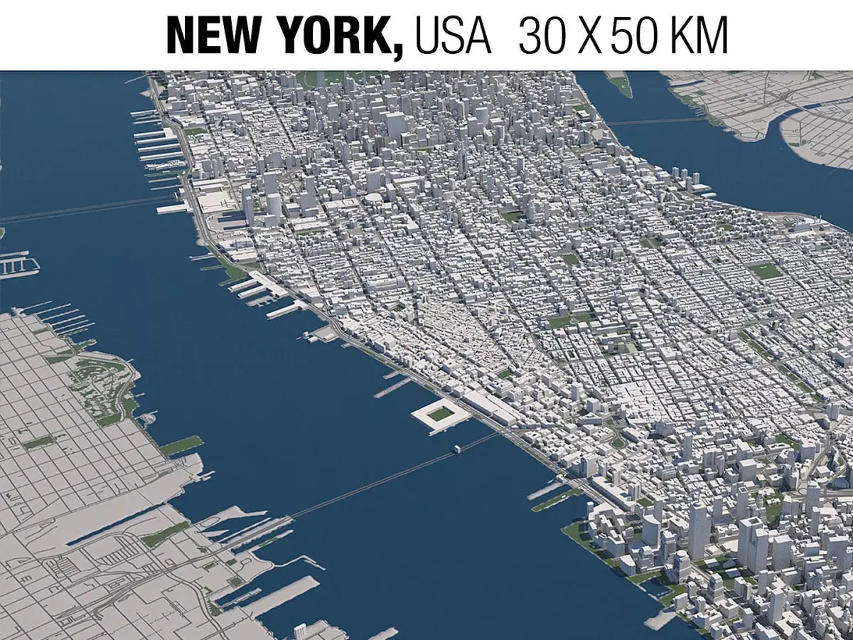
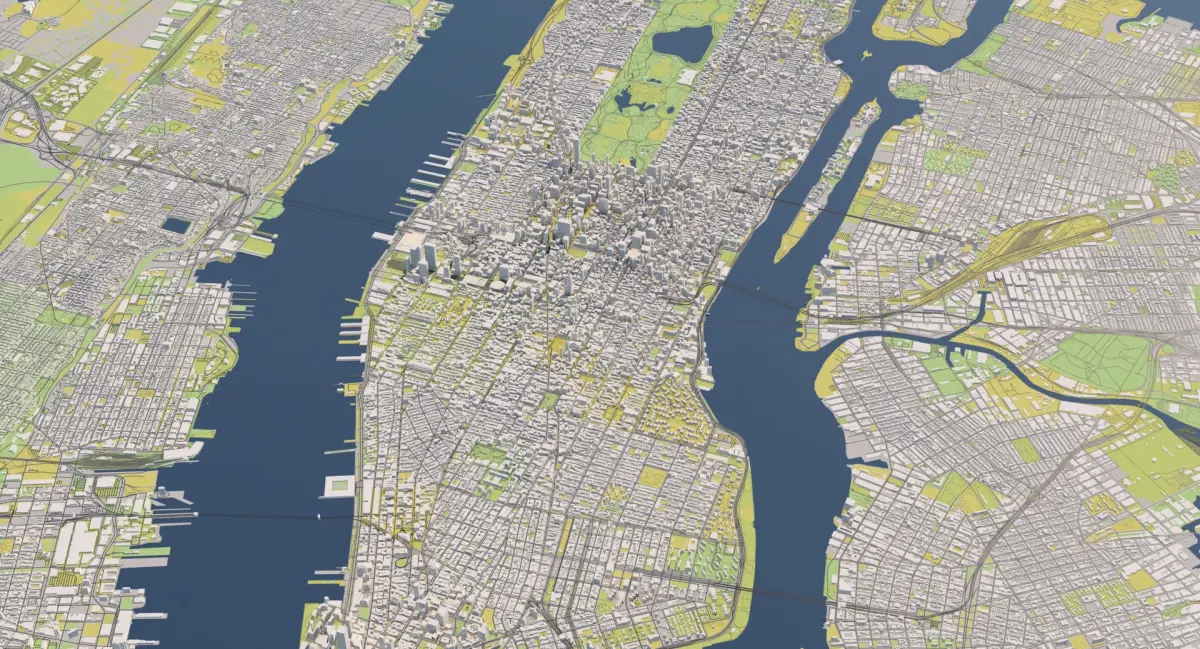
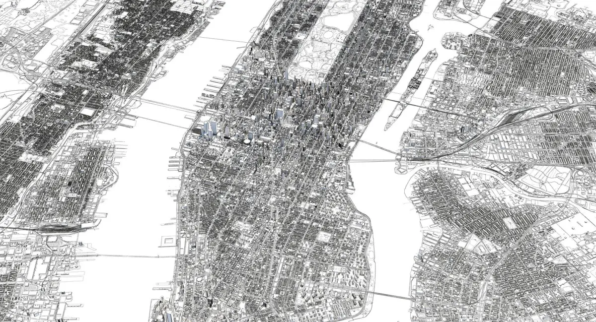
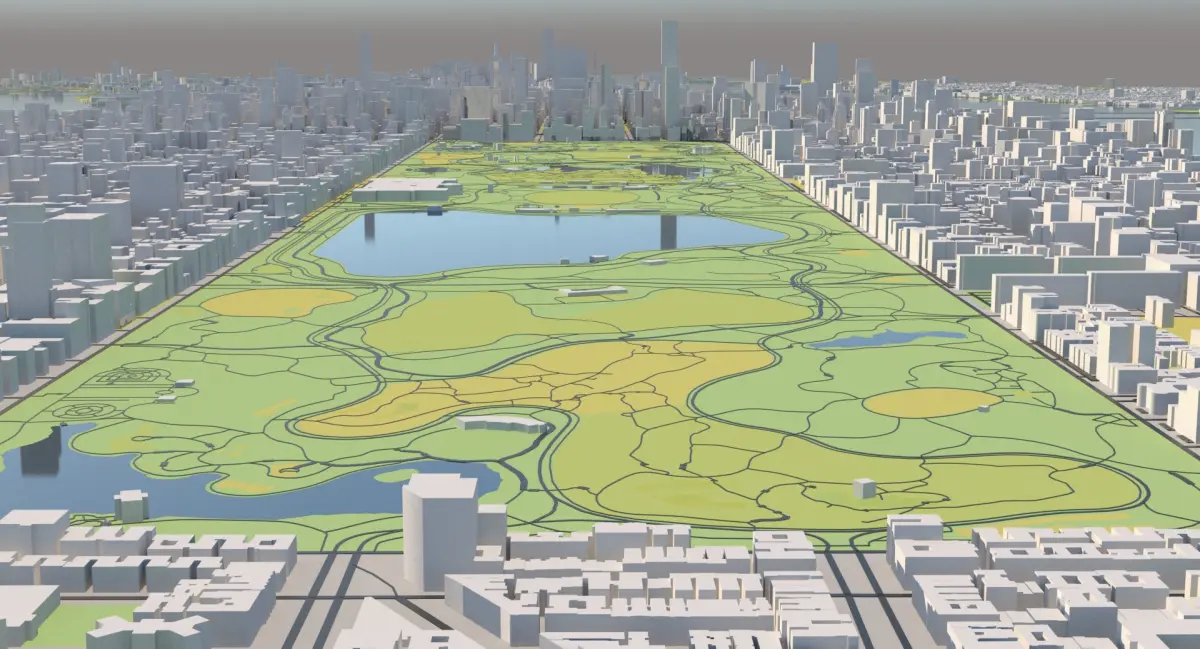
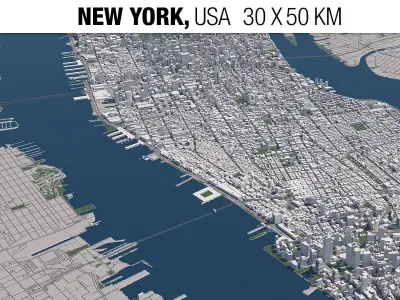
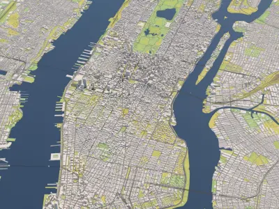
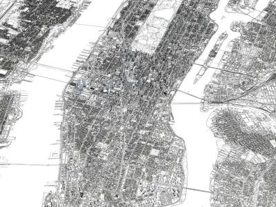
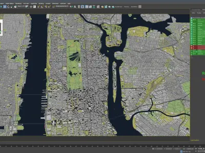
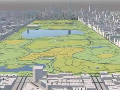
Buy New York 30 x 50 km 3D City Map 3D model
$299
License: Royalty Free
author:
3DCityMaps
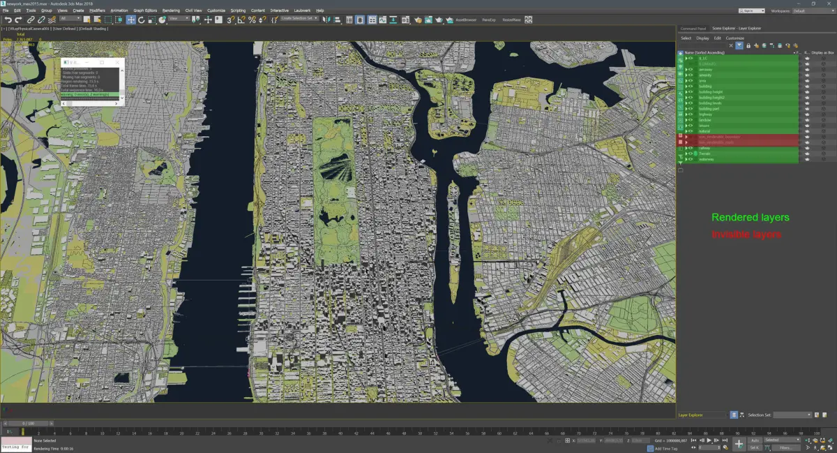
3D Model details
- cgtrader Platform
- Animated
- Rigged
- Ready for 3D Printing
- VR / AR / Low-poly
- PBR
- Textures
- Materials
- UV Mapping
- Polygons: 7365087
- Vertices: 10503463
- Geometry: Polygon mesh
Similar models


Find the models you need