Publication date: 2017-07-29
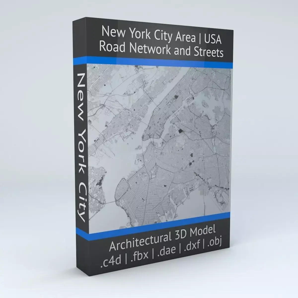
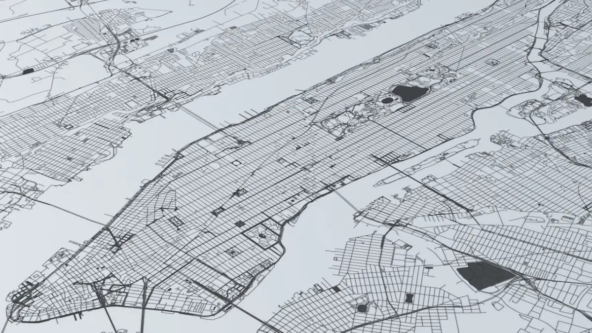
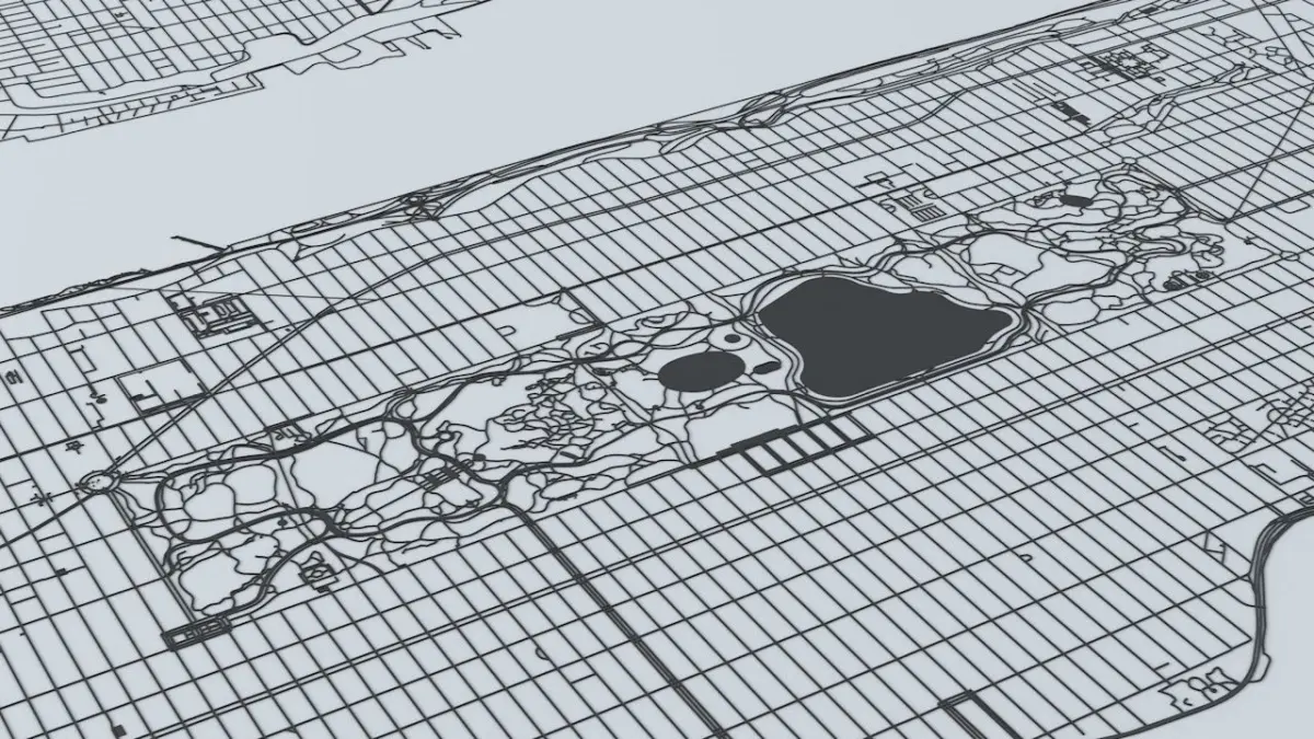
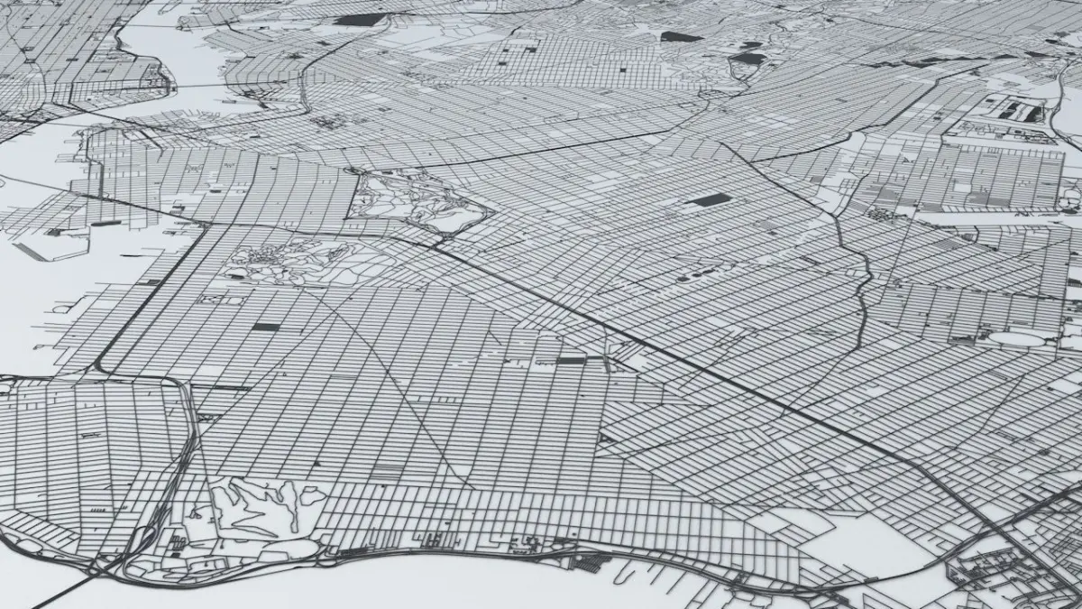
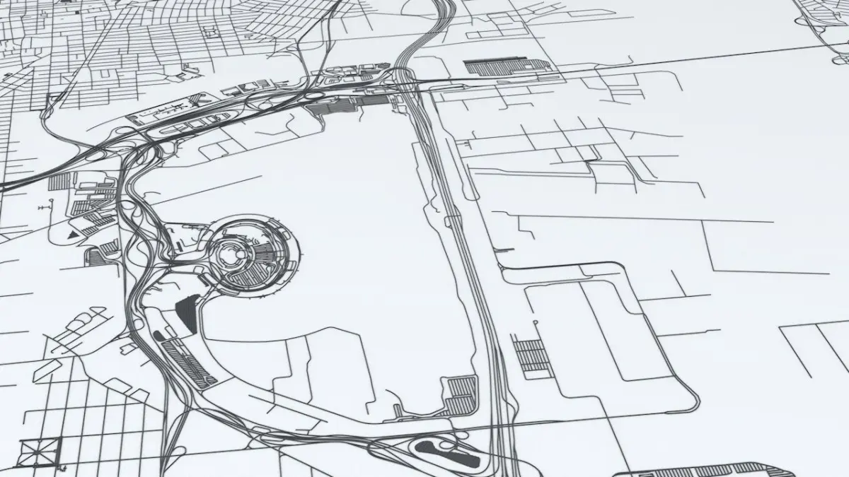
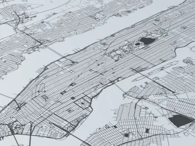
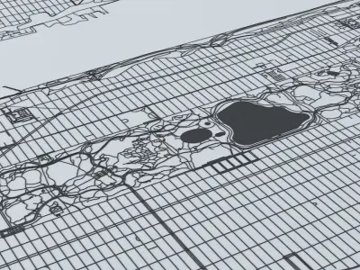
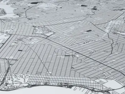
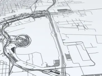
Buy New York City 5 Boroughs Jersey Newark Road Network and Streets 3D model
$29
License: Custom

author:
boscorelli3D
3D Model details
- cgtrader Platform
- Animated
- Rigged
- Ready for 3D Printing
- VR / AR / Low-poly
- PBR
- Textures
- Materials
- UV Mapping
- Polygons: 2589766
- Vertices: 3436512
- Geometry: Polygon mesh
Similar models


Find the models you need