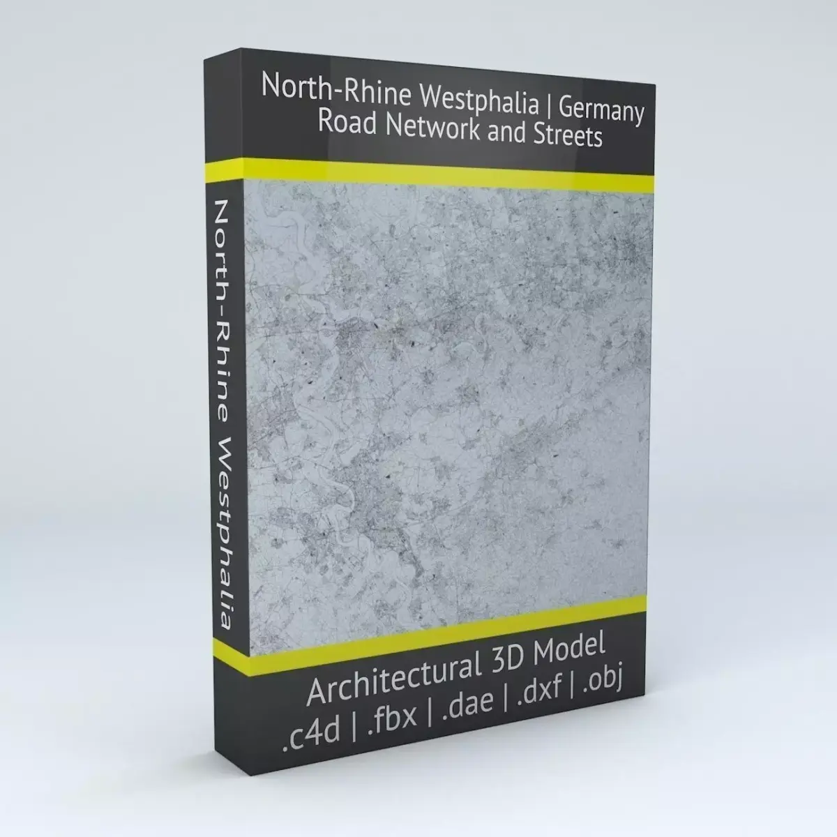
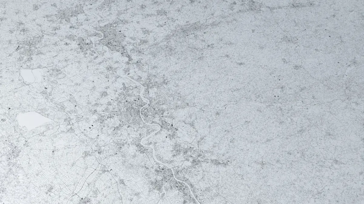
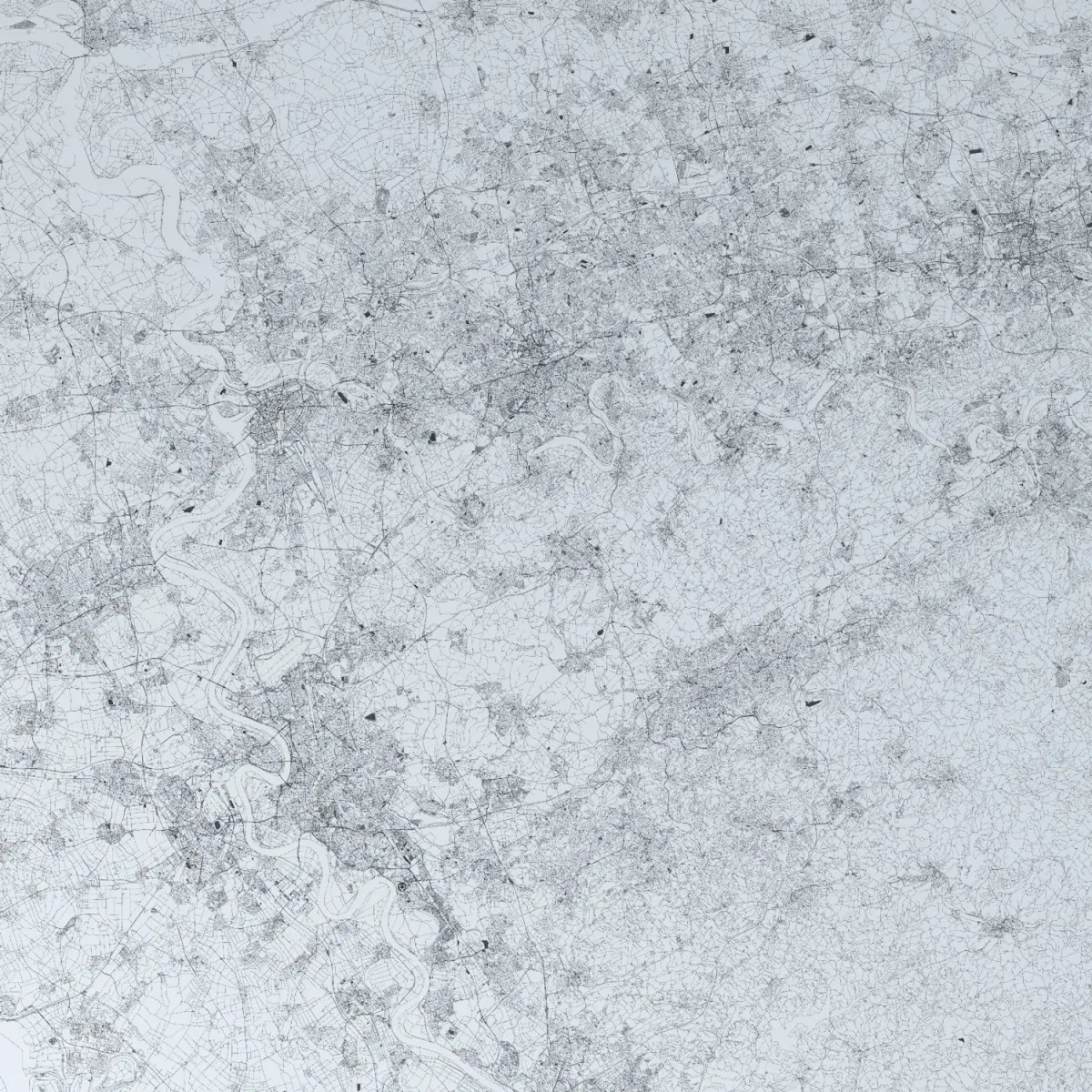
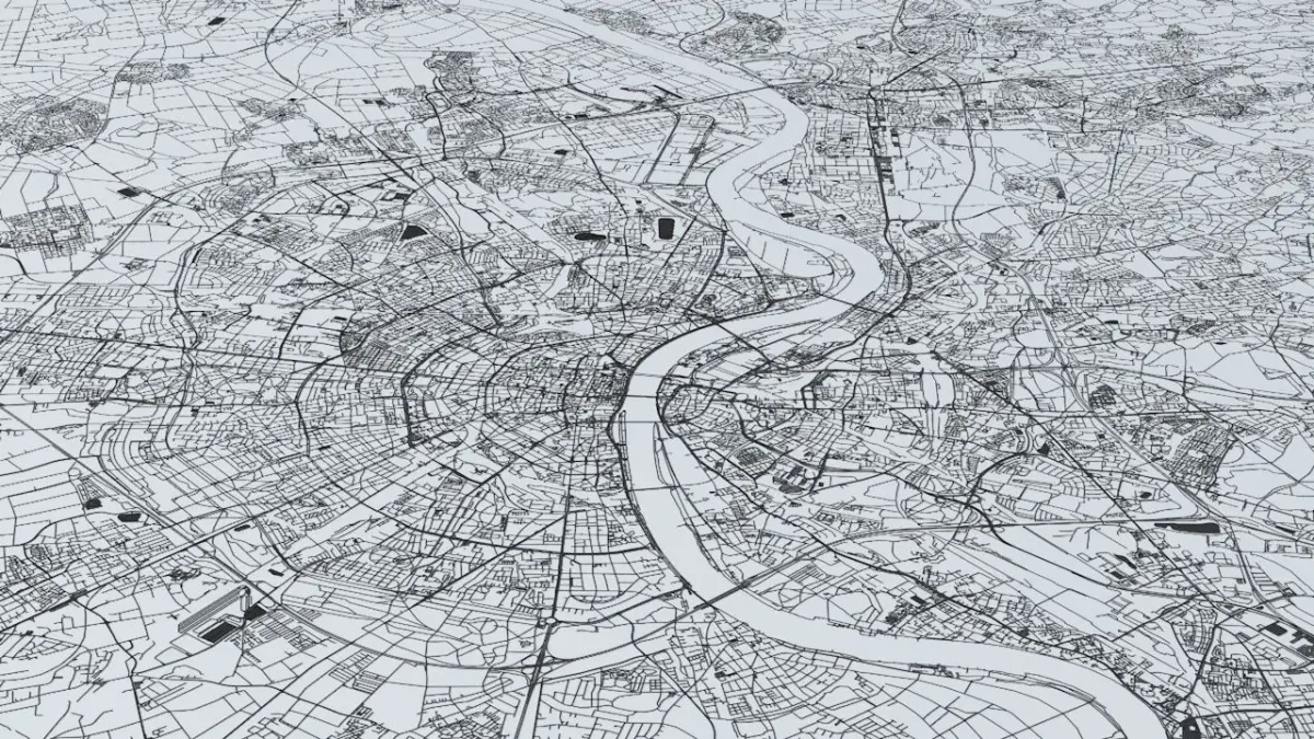
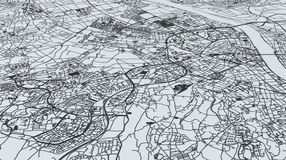
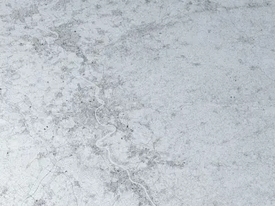
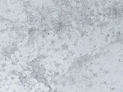
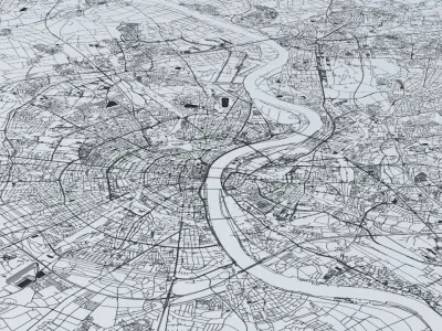
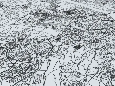
- this model is based on real data therefore this is a realistic road network and streets setup of North-Rhine Westphalia (Nordrhein-Westfalen), Germany
- this model covers an app. 135km x 135km (83.9mi x 83.9mi) / 18225 square kilometers (7039 square miles) area of North-Rhine Westphalia including the following major cities in the area :Bonn, Cologne, Leverkusen, Dusseldorf, Duisburg, Essen, Wuppertal, Gelsenkirchen, Bochum, Dortmund, Mönchengladbach and also many other smaller towns and places
- 2 objects included | 1. roads and streets 2. squares and plazas
- UV mapped with overlapping UVs
- the model is positioned on a flat surface (road network is on the “floor” - no elevation data included)
- geometry is polygonal quads and tris
- model is untextured and renders fast
- this model is fully compatible (CtrlC+CtrlV / CmdC+CmdV) with the North Rhine Westphalia Streets and Buildings 3D model which can also be purchased here on CGTrader :
https://www.cgtrader.com/3d-models/architectural/street/north-rhine-westphalia-streets-and-buildings
- this 3D model is/can be licensed (commercial use is fine) under Creative Commons Attribution-ShareALike 2.0 (CC-BY-SA) license
- buildings and streets data from OpenStreetMap / www.openstreetmap.org
Attribution : © OpenStreetMap contributors / http://www.openstreetmap.org/copyright
POINTS/VERTS : 28390071POLYGONS : 29143891
- .c4d - native format
- .fbx - v7.1
- .dae - v1.5
- .dxf
- .obj
OBJ (OBJ, filesize: 969 MB), C4D (Cinema 4D, filesize: 625 MB), DXF (DXF, filesize: 460 MB), DAE (Collada, filesize: 525 MB), FBX (Autodesk FBX, filesize: 641 MB)