Publication date: 2018-03-25
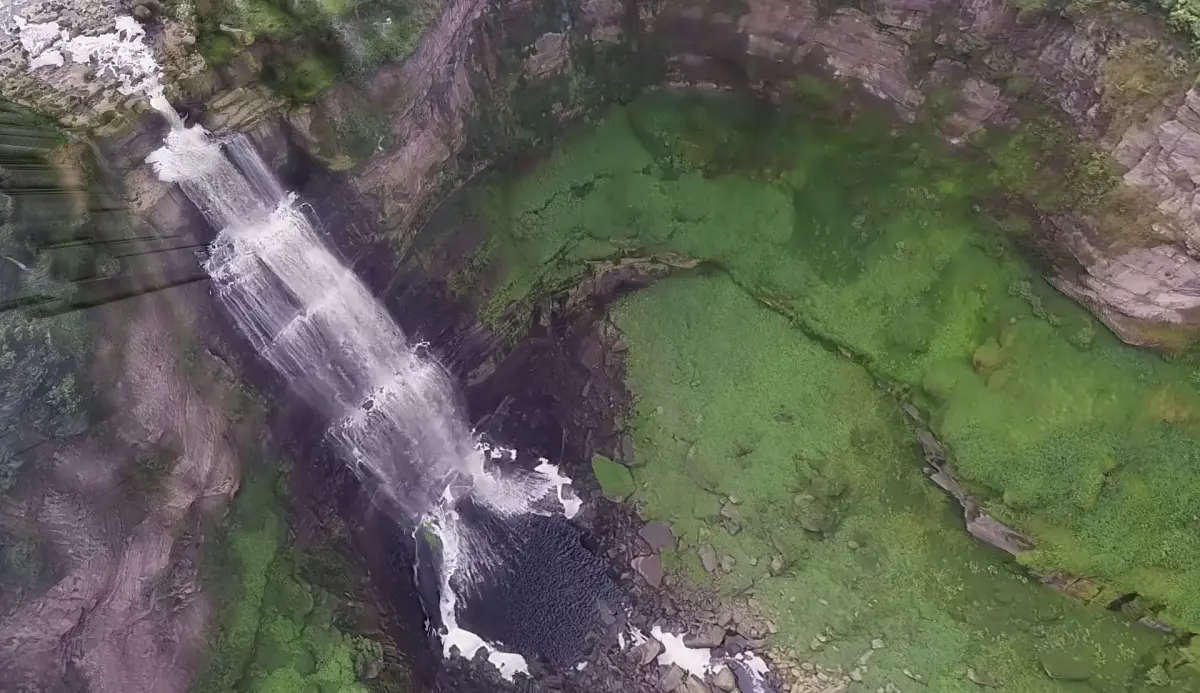
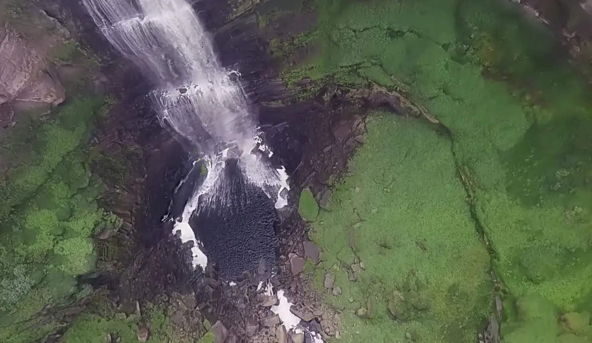
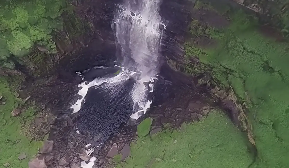
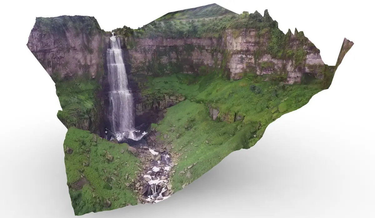
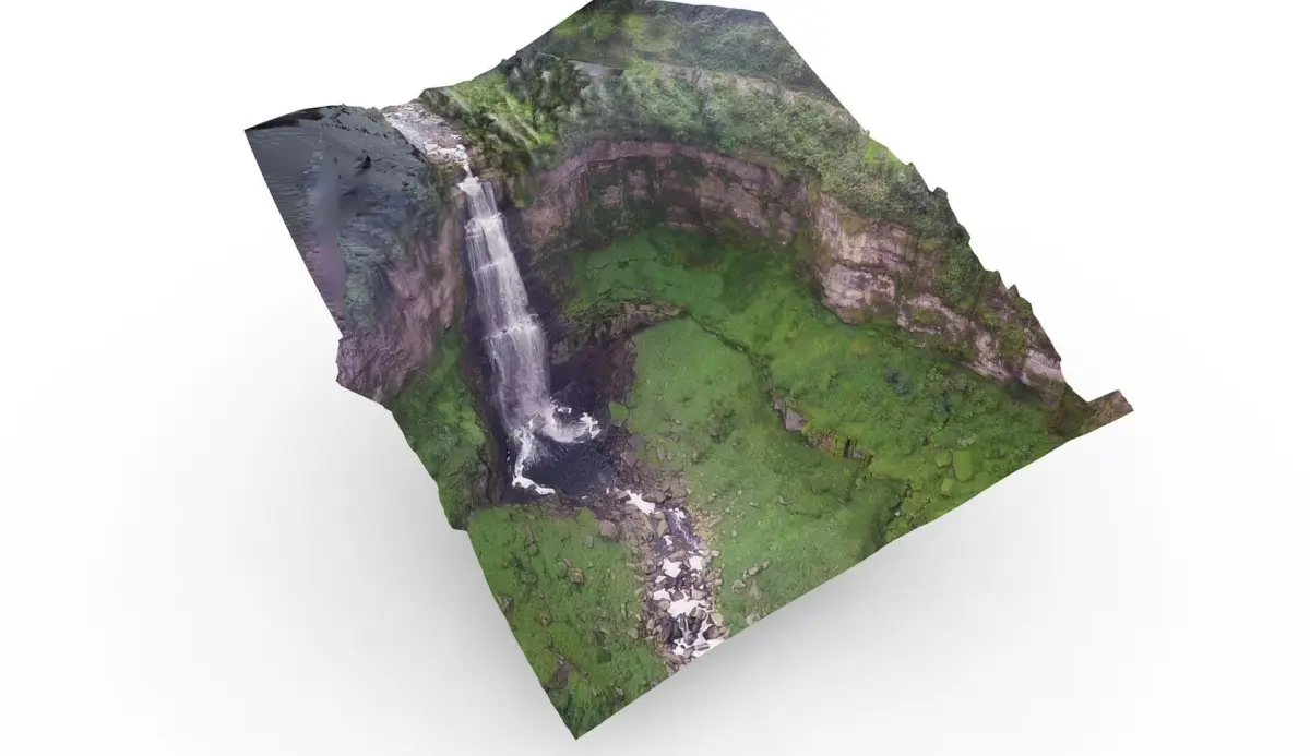
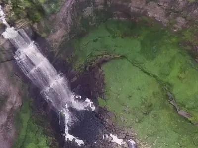
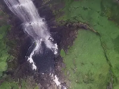
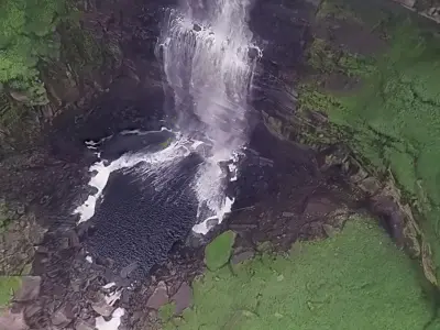
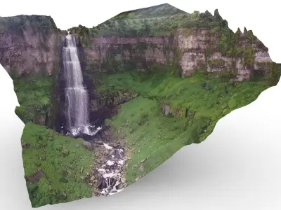
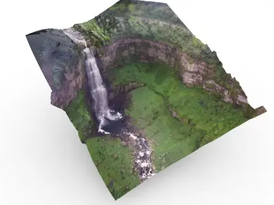
Buy Salto Tequendama - Tequendama falls 3D model
$39
License: Royalty Free

author:
FlyingWorks
3D Model details
- cgtrader Platform
- Animated
- Rigged
- Ready for 3D Printing
- VR / AR / Low-poly
- PBR
- Textures
- Materials
- UV Mapping
- Polygons: 475400
- Vertices: 238200
- Geometry: No N-gons | No faceted geometry | Manifold geometry |
Similar models

Find the models you need