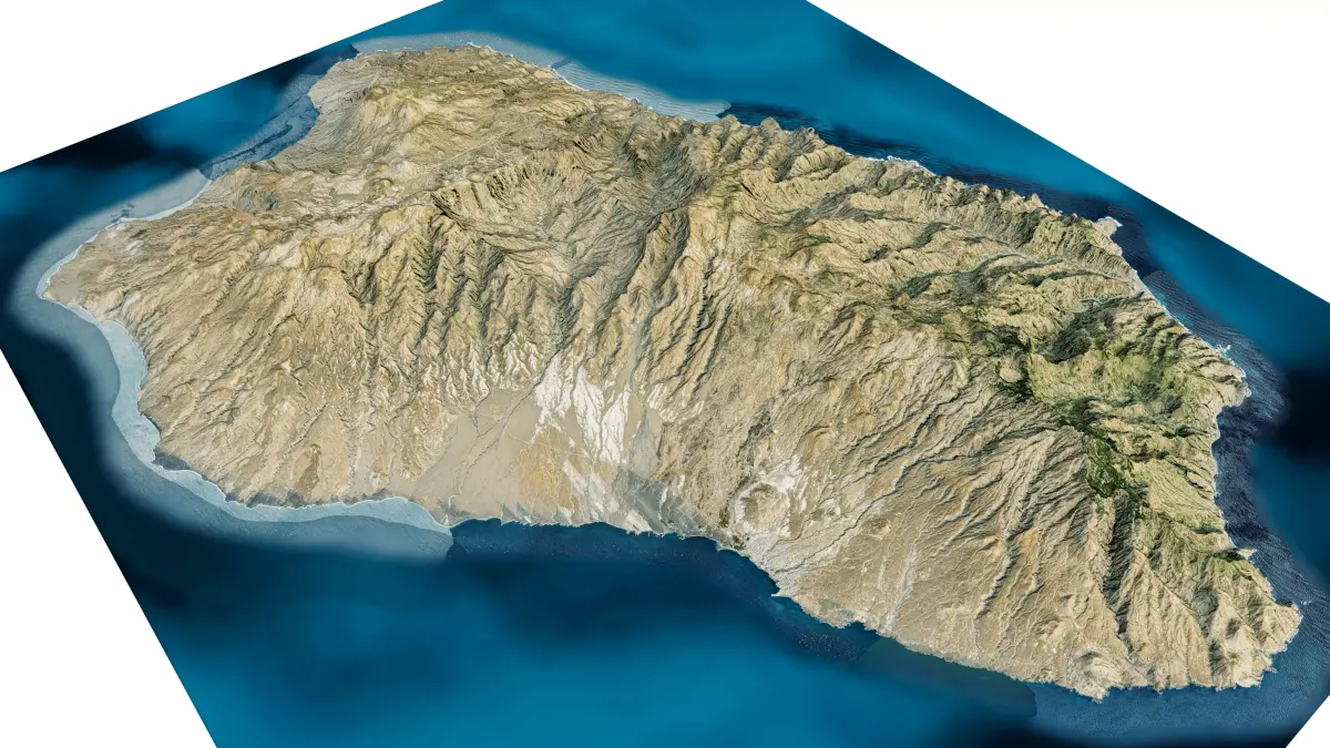
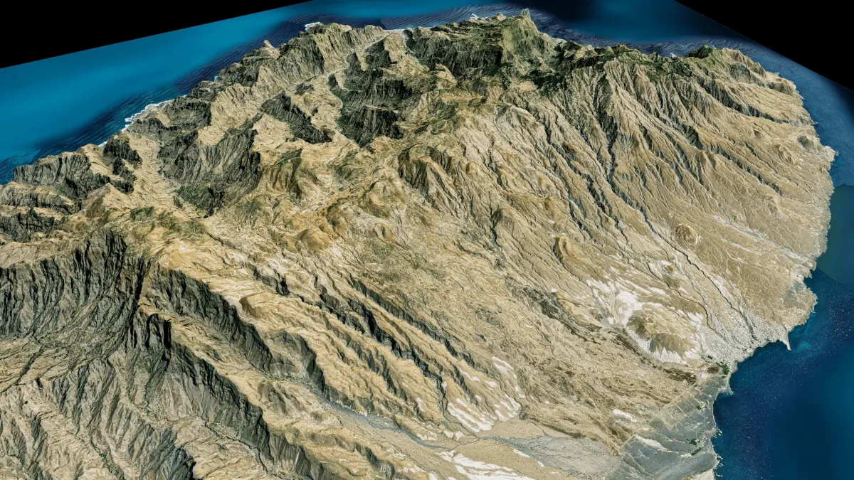
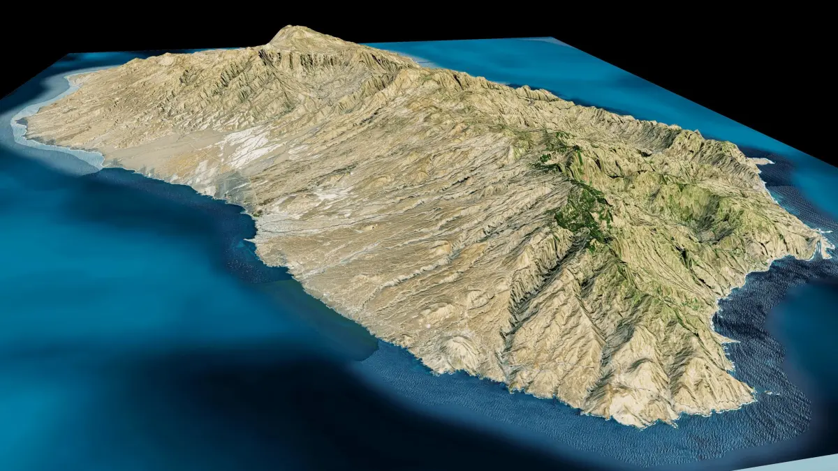
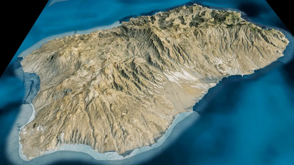
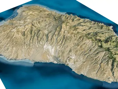
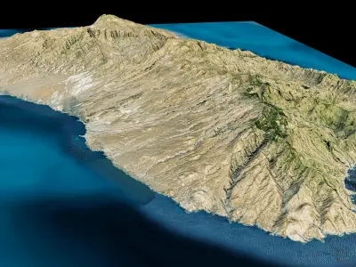
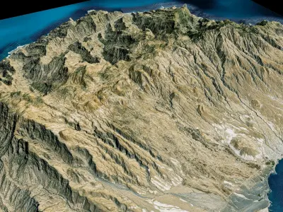
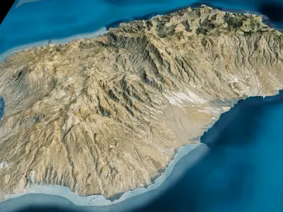
Santo Antão island 3d model terrain. 3d model Island of Santo Antao with its landscape of mountains, beaches and forests.
3d model landscape of Santo Antão island, Barlavento Islands, Cape Verde.
High Poly meshHigh detailed model
with 8K textures
- Diffuse map
- AO map
- Displacement map
- Normal map
- Roughness map
The Blend file do not require the displacement, but you can still use it if you want to create other island model yourself
Texture example from Santo Antão island, Barlavento Islands, Cape Verde. Santo Antão is the westernmost island of Cape Verde. At 785 km², it is the largest of the Barlavento Islands group, and the second largest island of Cape Verde. The nearest island is São Vicente to the southeast, separated by the sea channel Canal de São Vicente. The island is of volcanic origin and very mountainous, characterized by two high plateaus and several steep river valleys. The southern part of the island has a desert climate
STL (Stereolithography, filesize: 21.8 MB), OBJ (OBJ, filesize: 30.6 MB), TEXTURES (Textures, filesize: 164 MB), BLEND (Blender, filesize: 9.1 MB), FBX (Autodesk FBX, filesize: 23.1 MB)