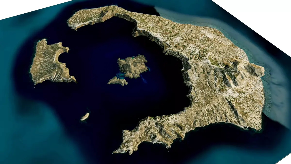
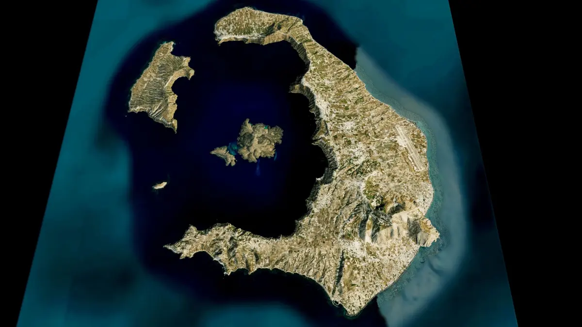
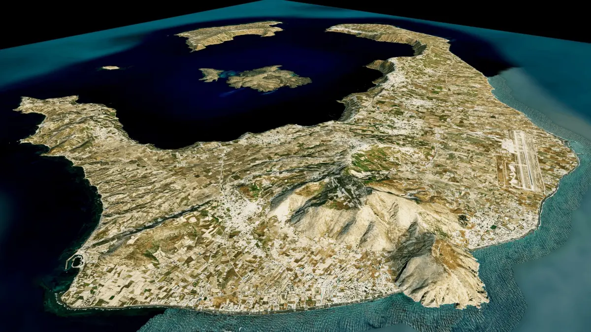
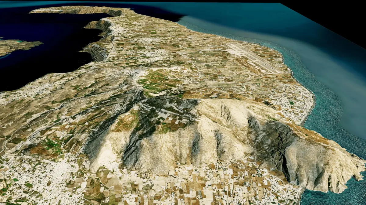
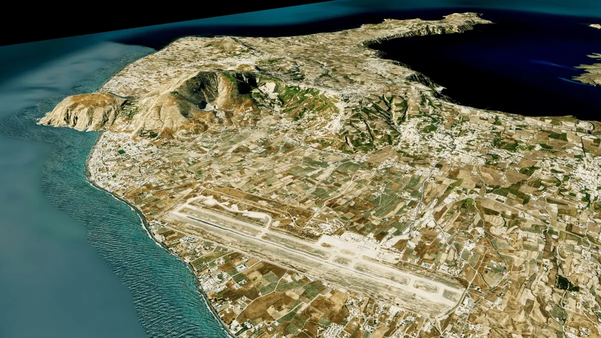
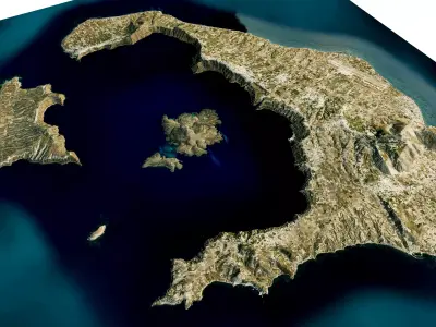
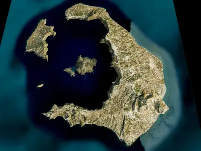
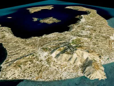
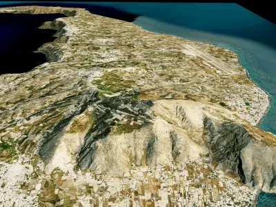
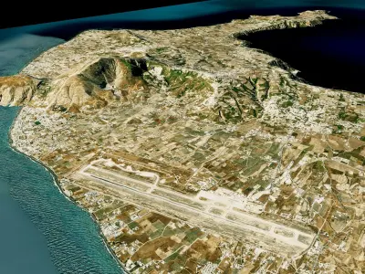
Santorini island 3d model terrain. 3d model island of Santorini with its landscape of mountains, beaches and forests.
3d model landscape of Santorini Island, South Aegean, Santorini, Greece
High Poly meshHigh detailed model
with 8K textures
- Diffuse map
- AO map
- Displacement map
- Normal map
- Roughness map
The Blend file do not require the displacement, but you can still use it if you want to create other island model yourself
texture example from the Santorini Island, South Aegean, Santorini, Greece. Santorini is one of the Cyclades islands in the Aegean Sea. It was devastated by a volcanic eruption in the 16th century BC, forever shaping its rugged landscape. The whitewashed, cubiform houses of its 2 principal towns, Fira and Oia, cling to cliffs above an underwater caldera (crater). They overlook the sea, small islands to the west and beaches made up of black, red and white lava pebbles.
STL (Stereolithography, filesize: 28.9 MB), OBJ (OBJ, filesize: 37.7 MB), FBX (Autodesk FBX, filesize: 27.5 MB), TEXTURES (Textures, filesize: 120 MB), BLEND (Blender, filesize: 11.3 MB)