Description
- TRY BEFORE YOU BUY
- Experience the quality and detail of our 3D City Models before making a purchase
- Get a FREE sample scene! — Message us with your preferred file format
- Instant Download — Grab an overview sample at www.each.city/sample
- WHAT IS INCLUDED
- DETAILS
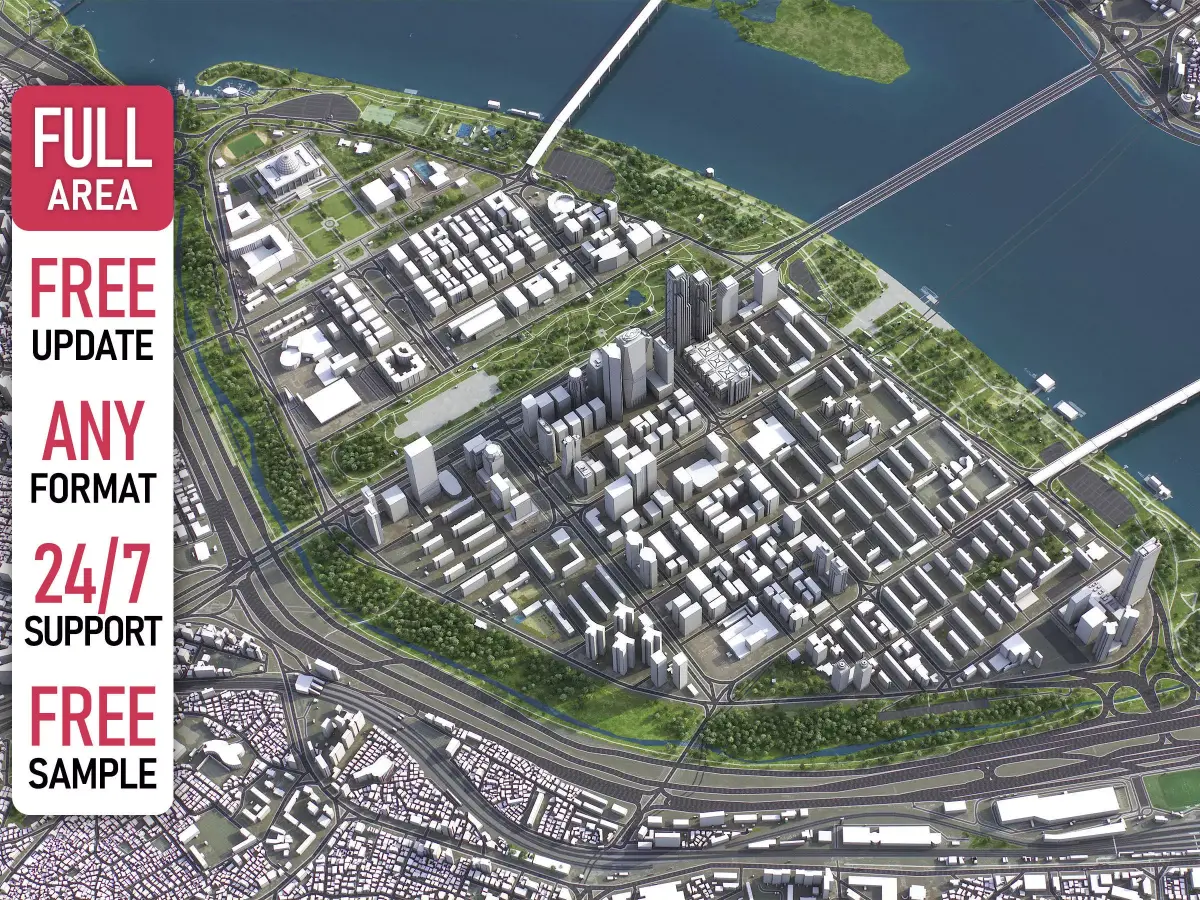
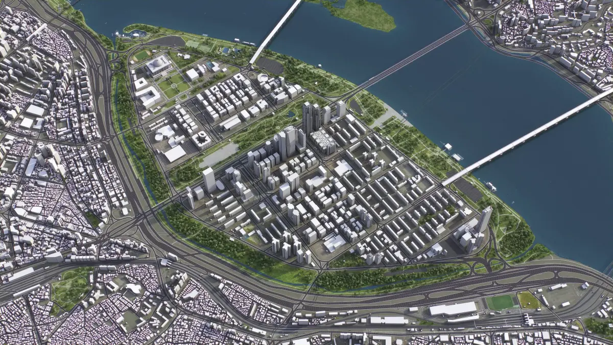
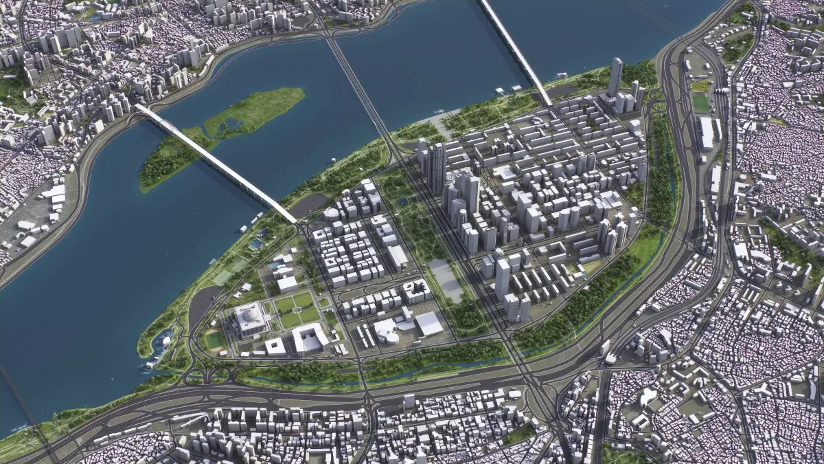
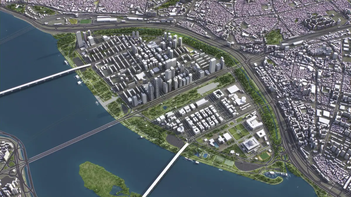
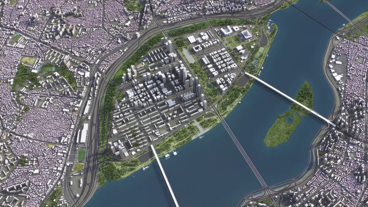
- Scene Size: Entire city — Refer to promo images for scene extents
- Units: Meters — Real-world scale
- Updated: August 2025 — Want the latest version? Contact us before purchase
- KEY BENEFITS
- 24/7 Customer Support — Reach out to us anytime for pre-sale inquiries or after-sale support
- Extensive File Format Support — Includes 3ds Max (native), fbx, obj, dae, c4d, skp, 3dm, rvt, blend, and more. Need a different format? Let us know before purchase
- Georeferencing Options — Comes with standard CRS. For specific CRS requests, please contact us before purchase
- Customizable Scene Size — Crop to your area of interest for optimal performance and format compatibility. Inquire before purchase
- Layered Data Structure — Buildings, land-use areas, roads, and railways are split by type into layers or named objects
- Detailed Landmarks — Regular updates and improvements available annually or upon pre-purchase inquiry
- High-Resolution Surface Texture — Realistic and detailed 1-meter resolution satellite imagery
- Editable Flat Surface — Simplifies detailing and geometry edits. Topography terrain available at an additional cost — contact us for a quote
- Realistic Low-Poly Vegetation — Individual trees included in MAX and FBX formats. Additional formats available upon request before purchase
- Ready to Render Out-of-the-Box — Optimized for 3ds Max + Corona Render
- PRESENTATION IMAGES
- 4K High-Resolution Renders — Refer to images for level of detail and scene size
- Produced in 3ds Max — Rendering settings may vary in other software
- MATERIALS
- Assigned Textures — Trees, vegetation, land-use areas, and airport surfaces come with textures assigned
- Buildings Ready for Texturing — UV mapped and split by material IDs (no textures assigned)
- FREE UPDATE
- Regular Updates — Our 3D City Models are regularly updated. You'll receive the latest version as soon as it's released
- Manual Updates — For updates to the latest data before release, please contact us before purchase (additional fees may apply)
- CUSTOMIZATION SERVICES (PRICED SEPARATELY)
- We offer bespoke 3D modeling services tailored to your specific requirements. Please note that these customizations are not included in the base product and are priced separately
- Custom Work Pricing — Customization services are priced separately from the listed product. Please contact us before purchasing to receive a personalized quote
- Flexible Turnaround — Fast delivery times with pricing tailored to your project's needs
- How to Proceed — Reach out to discuss your requirements
- SCENE SIZE
- Custom Area Selection — From small sections to expansive regions up to 1000x1000km
- Optimized Performance — Crop or tile scenes for better compatibility and performance
- DATA AUTHENTICITY
- Real Buildings Coverage — 100% real building footprints; no AI-generated data
- Data Integration — Incorporate your datasets into the model
- GEOREFERENCING
- Coordinate Systems — Choose from Web Mercator, Transverse Mercator, or Original CRS
- Precise Geolocation — Position 3D content at specified latitudes and longitudes
- TOPOGRAPHY TERRAIN
- High-Accuracy Terrain Models — Up to 1-meter accuracy digital terrain models
- Multiple LODs — Optimized terrain meshes for detail and performance
- Integrated Features — Buildings and roads accurately placed on terrain
- Separate Land Surface and Water Bodies — Modeled distinctly for greater control and realism
- Contour Lines — 3D splines with up to 1-meter intervals
- MANUAL MODELING
- Detailed Structures — LOD2 and LOD3 buildings and structures
- Infrastructure Modeling — Elevated highways, interchanges, bridges, and flyovers
- TEXTURING
- High-Resolution Imagery — Satellite images up to 0.1-meter accuracy
- Detailed Road Textures — Streets and roads with UV-mapped markings
- Building Textures — Procedural or realistic textures assigned to buildings
- VEGETATION OPTIONS
- Individual Trees — Placed based on real-world data.
- Procedural Forests — Convert distribution areas into individual trees
- ADDITIONAL FEATURES
- Named Objects — Individual buildings and streets with names or addresses
- Administrative Boundaries — Polygons or outlines for all administrative levels
- Animation-Ready Splines — Road and railway splines for traffic animations
- Public Transport Stops — Individual named objects for enhanced detail
- FILE FORMATS
- max — Autodesk 3ds Max
- fbx, obj, dae, 3ds — Exchange Formats
- unitypackage — Unity 3D
- uproject, uasset — Unreal Engine
- tm — Twinmotion
- 3dm — Rhino 3D
- skp — SketchUp
- rvt — Autodesk Revit
- c4d — Cinema4D
- lsf — Lumion
- blend — Blender
- glb, gltf — Games, Web, AR/VR
- ma, mb — Autodesk Maya
- dwg, dxf — Autodesk AutoCAD
- stl — 3D Print
Features
-
Animated
-
Rigged
-
Ready for 3D Printing
-
VR / AR / Low-poly
-
PBR
-
Textures
-
Materials
-
UV Mapping
- Unwrapped UVs: No
- Geometry: Polygon mesh
- Polygons: 1
- Vertices: 1
All content related to this 3D asset—including renders, descriptions, and metadata—is
credited to its original author, «3D-City-Models». CGhub does not claim copyright ownership over the content used.