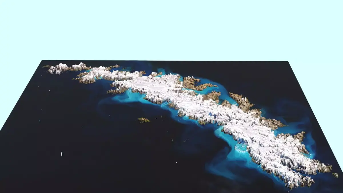
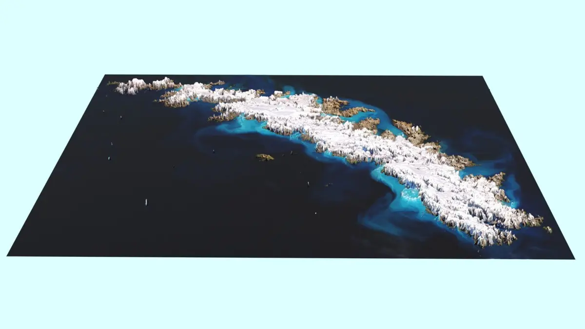
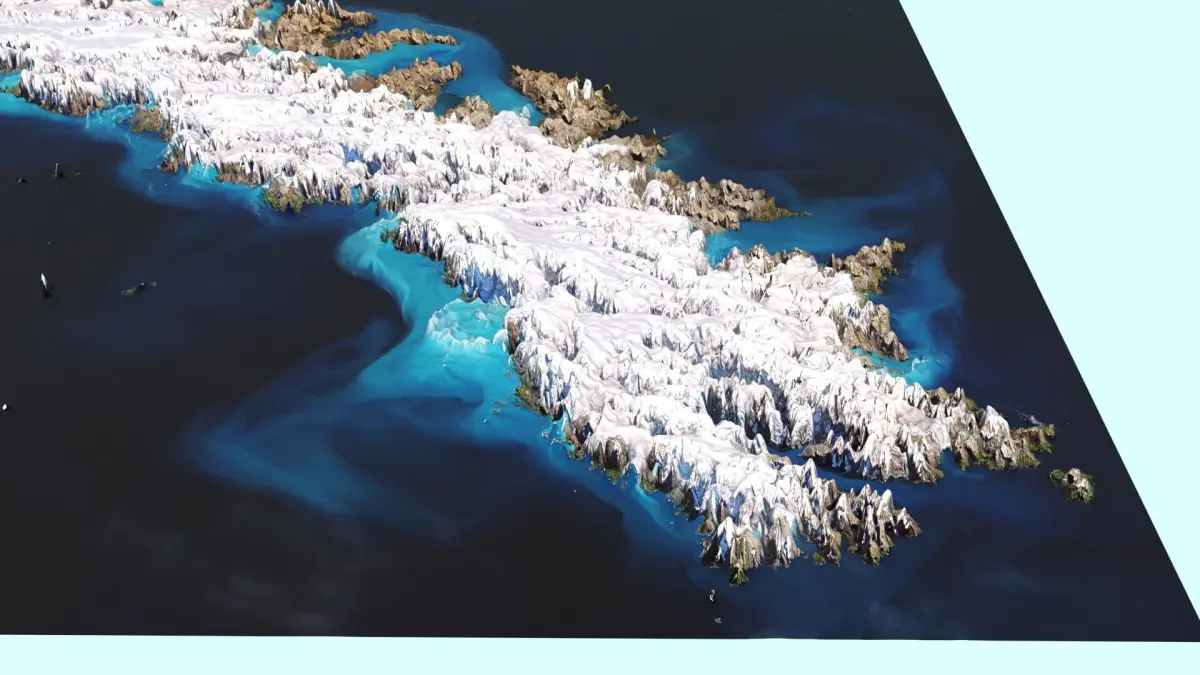
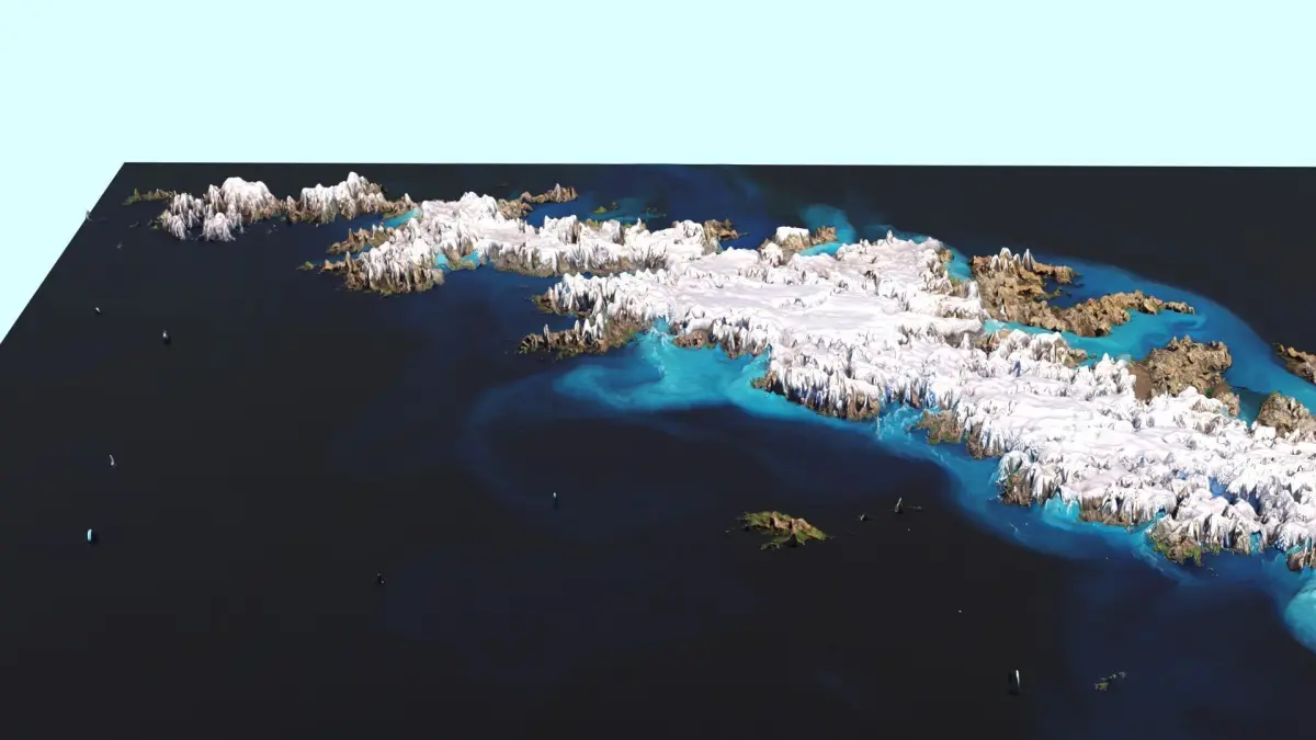
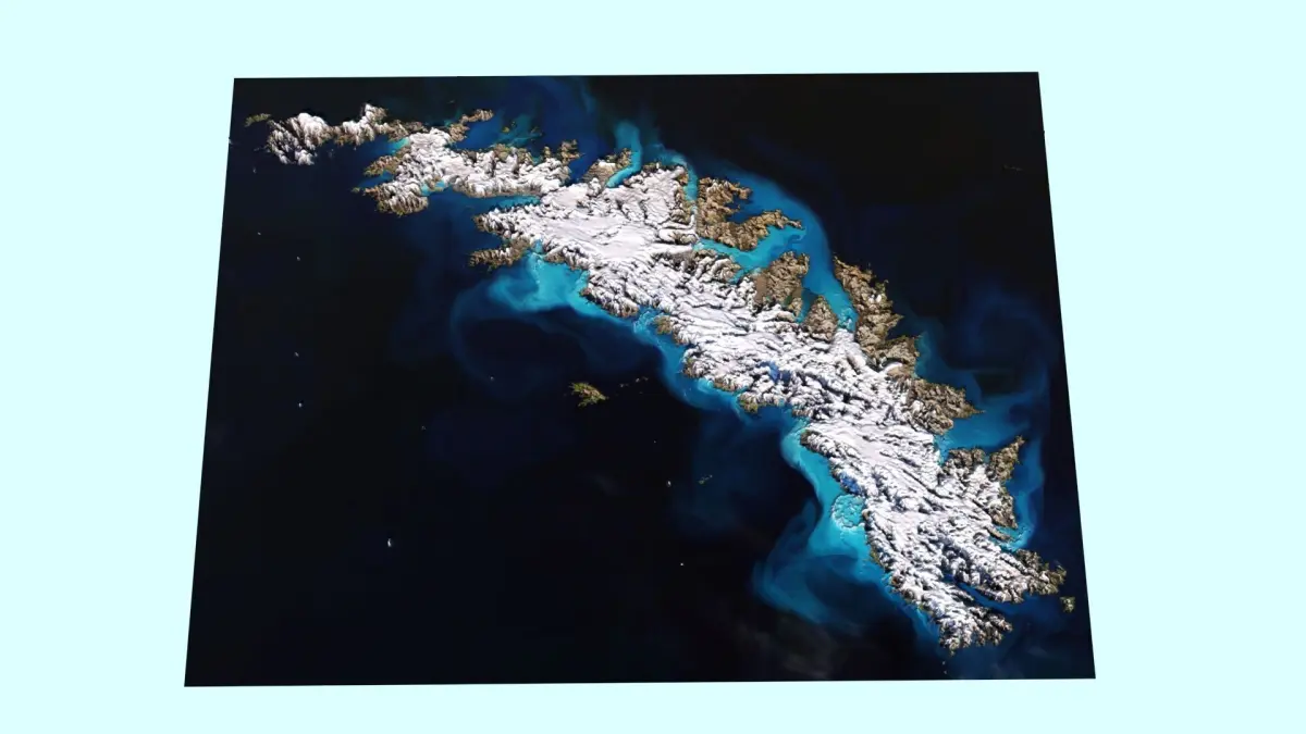
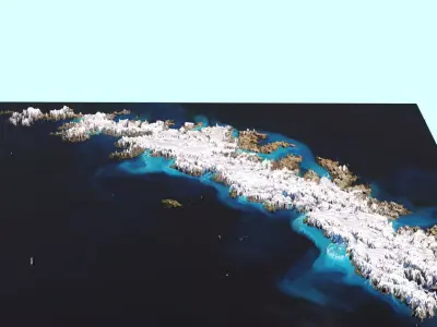
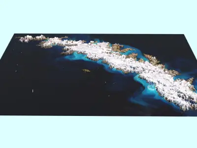
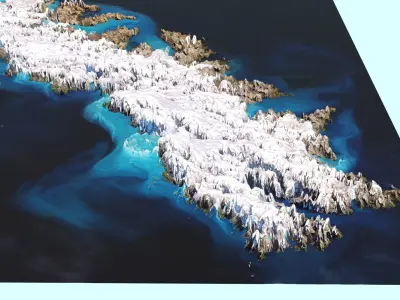
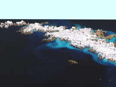
DescriptionSouth Georgia Island. South Georgia is an island in the South Atlantic Ocean that is part of the British Overseas Territory of South Georgia and the South Sandwich Islands. It lies around 1,400 kilometres (870 mi) east of the Falkland Islands. Stretching in the east–west direction, South Georgia is around 170 kilometres (106 mi) long and has a maximum width of 35 kilometres (22 mi). The terrain is mountainous, with the central ridge rising to 2,935 metres (9,629 ft) at Mount Paget. The northern coast is indented with numerous bays and fjords, serving as good harbours. Discovered by Europeans in 1675, South Georgia had no indigenous population due to its harsh climate and remoteness. Captain James Cook in HMS Resolution made the first landing, survey and mapping of the island. On 17 January 1775, Cook claimed it a British possession, naming it Isle of Georgia after King George III. Through its history, it served as a whaling and seal hunting base, with intermittent population scattered in several whaling bases, the most important historically being Grytviken. The main settlement and the capital today is King Edward Point near Grytviken, a British Antarctic Survey research station, with a population of about 20 people.
Texture Resolution: 7618 x 5777
MAX (Autodesk 3ds Max, filesize: 616 KB), JPG (JPG, filesize: 3.74 MB)