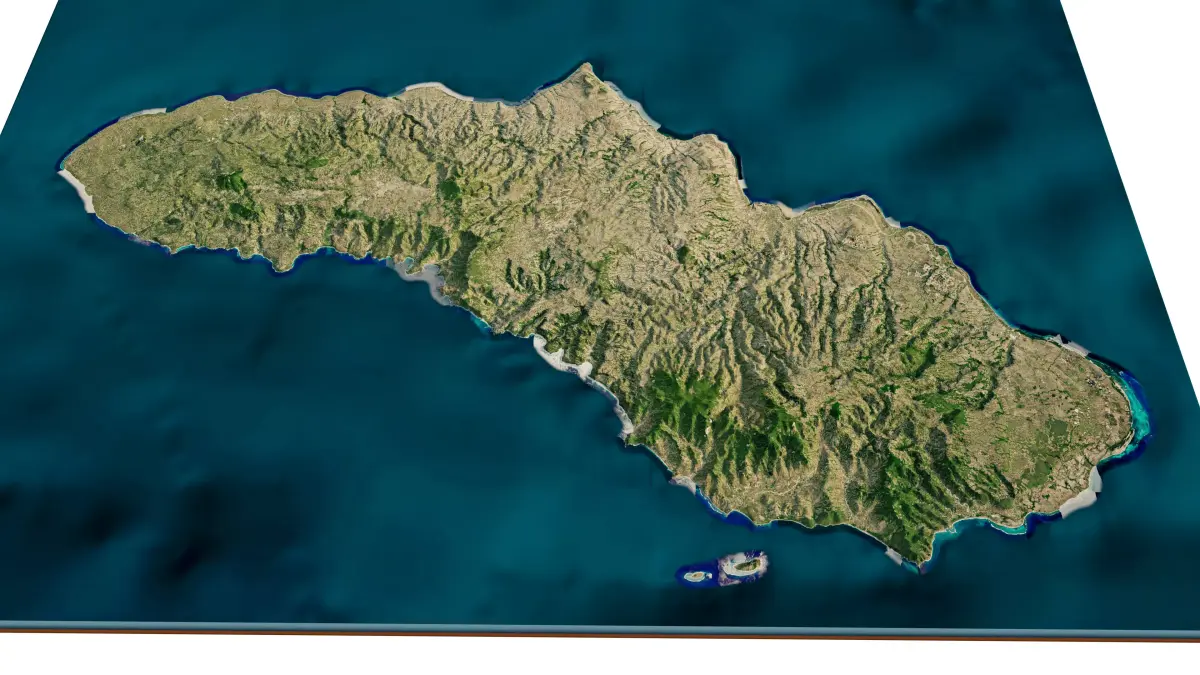
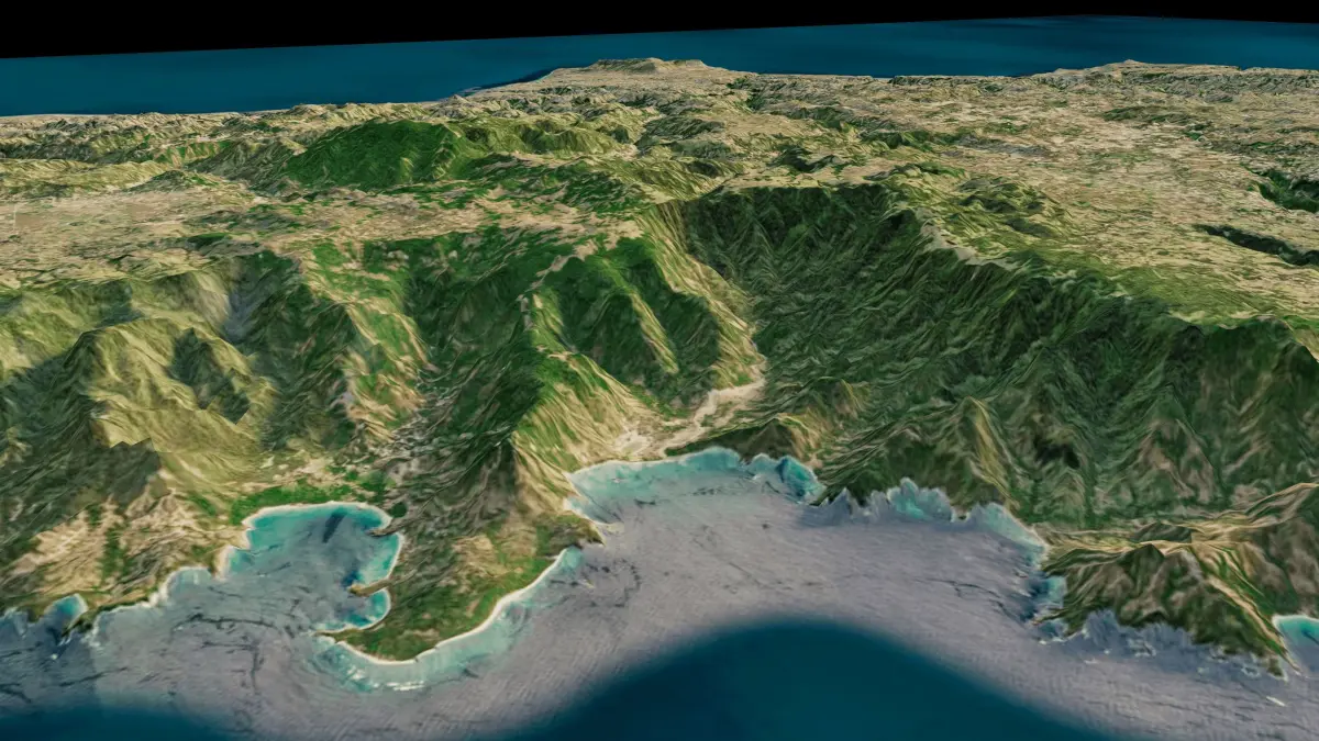
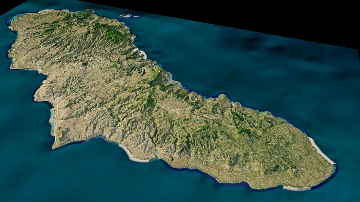
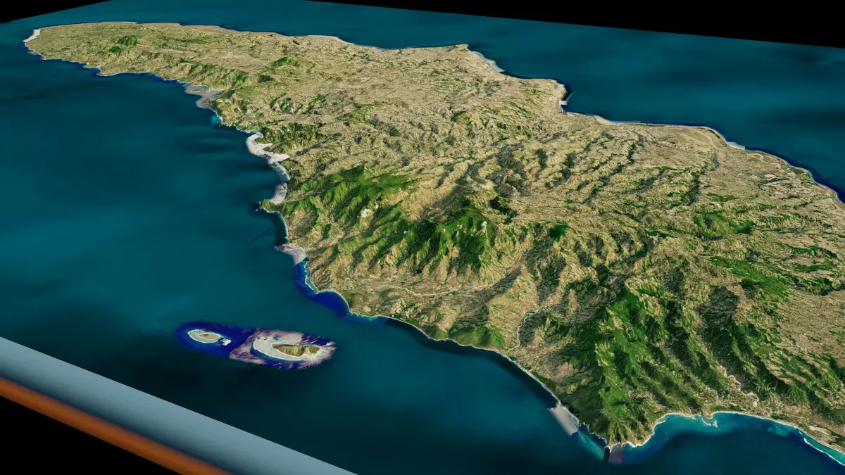
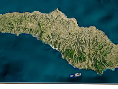
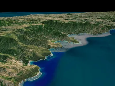
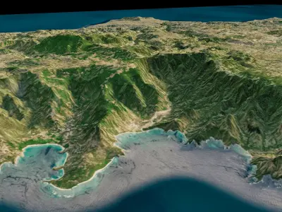
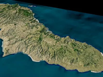
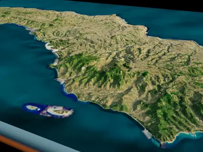
Sumba Island 3d model terrain. 3d model of the island Sumba with its landscape of mountains, beaches and forests.
3d model landscape of Sumba Island, Lesser Sunda Islands, East Nusa Tenggara, Indonesia.High Poly meshHigh detailed model
with 10K textures
- Diffuse map
- AO map
- Displacement map
- Normal map
- Roughness map
The Blend file do not require the displacement, but you can still use it if you want to create other island model yourself
texture example from Sumba Island, Lesser Sunda Islands, East Nusa Tenggara, Indonesia. Sumba, natively also spelt as Humba or Hubba is an Indonesian island located in the Eastern Indonesia and administratively part of the East Nusa Tenggara provincial territory. The landscape is low, limestone hills, rather than the steep volcanoes of many Indonesian islands. There is a dry season from May to November and a rainy season from December to April. The western side of the island is more fertile and more heavily populated than the east.
STL (Stereolithography, filesize: 52.1 MB), OBJ (OBJ, filesize: 70.8 MB), TEXTURES (Textures, filesize: 138 MB), BLEND (Blender, filesize: 20.4 MB), FBX (Autodesk FBX, filesize: 51.7 MB)