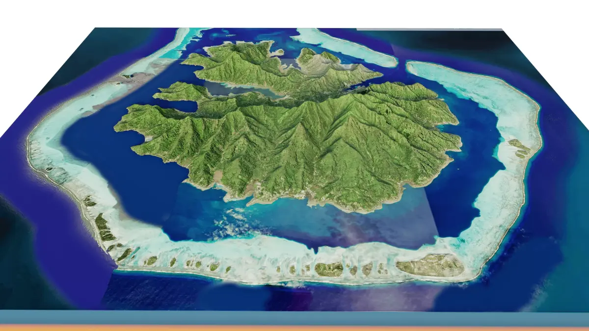
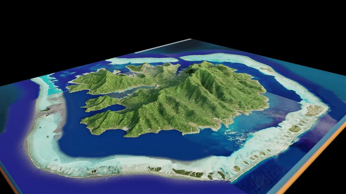
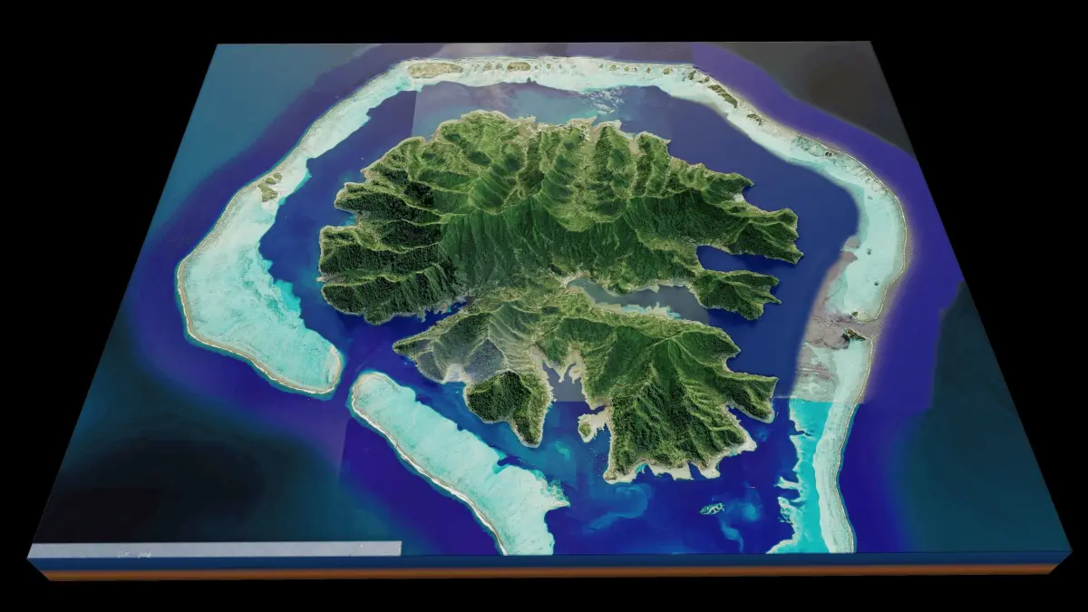
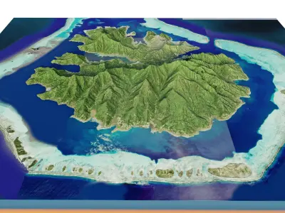
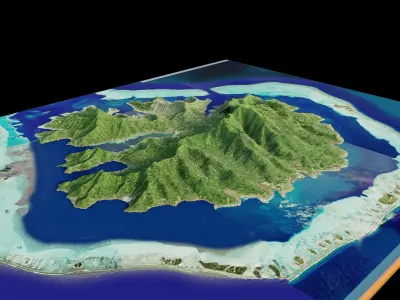
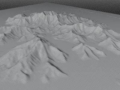
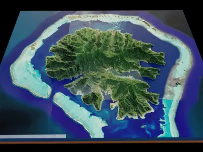
Taha'a island full 3d terrain. 3d model landscape of the island of Taha'a with its landscape of mountains, beaches and forests
Tahaa Island full 3d terrain,French Polynesia, Pacific Ocean,French.
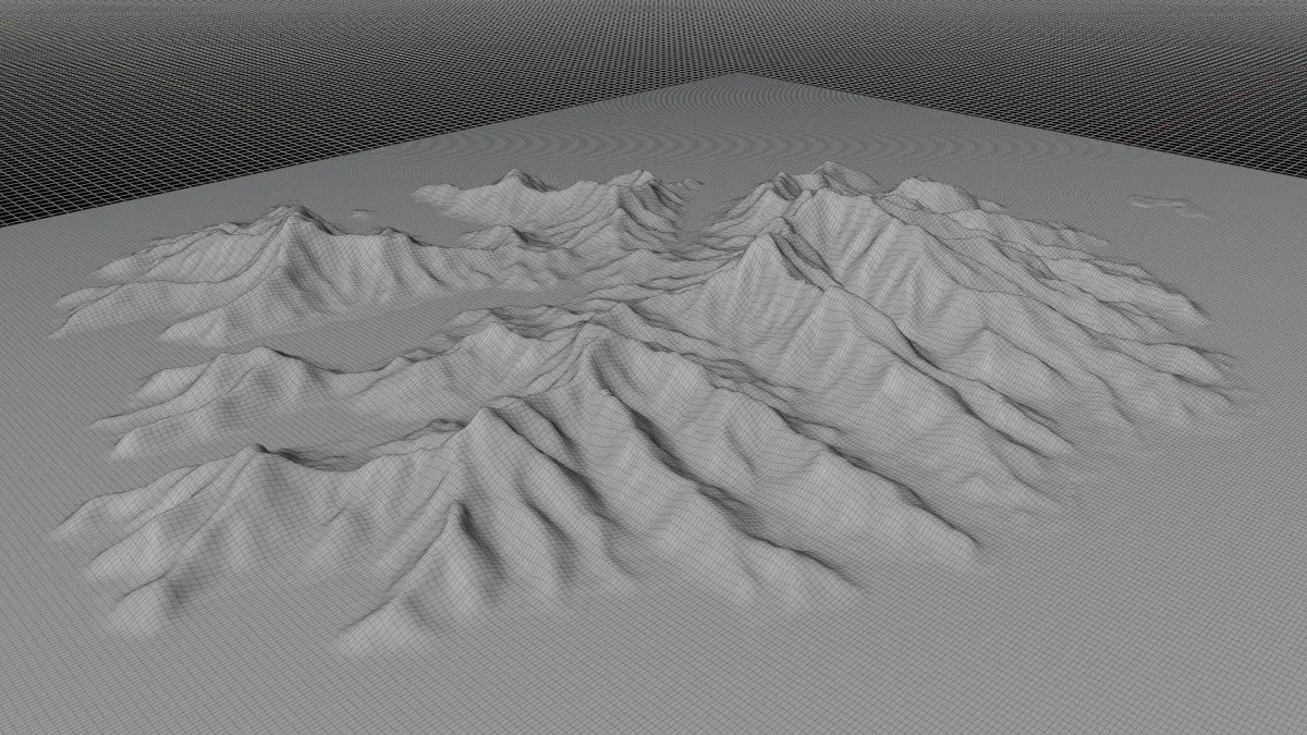
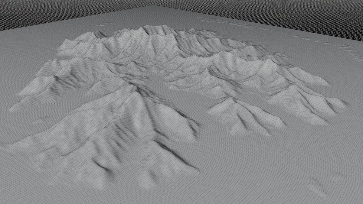
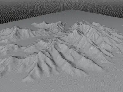
High Poly meshHigh detailed model
with 8K textures
- Diffuse map
- AO map
- Displacement map
- Normal map
- Roughness map
The Blend file do not require the displacement, but you can still use it if you want to create other island model yourself
Texture example from the Tahaa Island, Tahaa, French Polynesia, Pacific Ocean,French. Taha’a is an island located among the western group, the Leeward Islands, of the Society Islands in French Polynesia, an overseas territory of France in the Pacific Ocean.The islands of Taha’a and neighboring Raiatea to the immediate south are enclosed by the same coral reef, and they may once have been a single island. Mount Ohiri is the highest mountain on the island standing at 590 metres (1,940 ft) above sea level. It is also known as the Vanilla Island and produces pearls of exceptional quality.
STL (Stereolithography, filesize: 17.4 MB), OBJ (OBJ, filesize: 22.6 MB), TEXTURES (Textures, filesize: 190 MB), FBX (Autodesk FBX, filesize: 17.2 MB), BLEND (Blender, filesize: 7.17 MB)