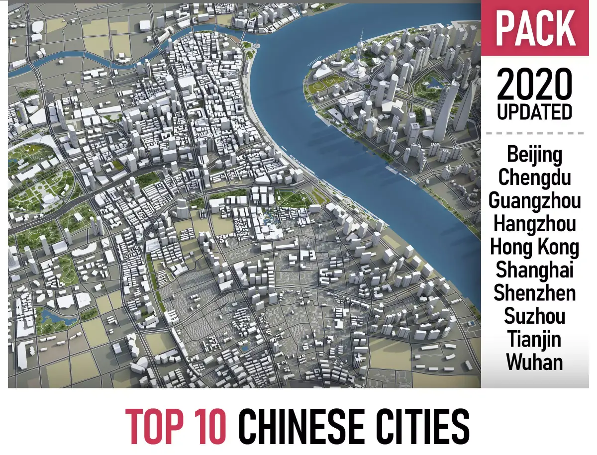
This is exact and accurate to scale 3D city models based on GIS data (August 2019)
- This 3D city is georeferenced, exact and accurate to real-world scale
- File units: Meters
- Scale: 1:1
MEGAPACK
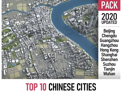
- This collection includes Top 10 cities in China
- Beijing
- Chengdu
- Guangzhou
- Hangzhou
- Hong Kong
- Shanghai
- Shenzhen
- Suzhou
- Tianjin
- Wuhan
FORMATS
- INCLUDED
- MAX - Autodesk 3dsMax
- FBX - Exchange Format
- OBJ - Exchange Format
- DAE - Exchange Format
- FREE CONVERSION - same day delivery
- UNITYPACKAGE - Unity 3D
- BLEND - Blender
- SKP - SketchUp
- 3DM - Rhino 3D
- RVT - Autodesk Revit
KEY BENEFITS
- Administrative boundaries as polygon geometries named accordingly
- Surface is flat, easy to add details and edit geometry (terrain on request)
- Buildings, landuse areas, roads and railways split by type (see scene stucture)
- Realistic low-poly trees and street lamps (instance objects in a separate scene)
- Road and railway splines for traffic animation
- Public transport stops (placeholders with name)
USAGE
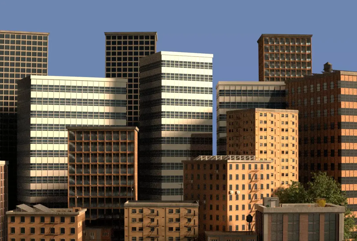
- This model is suitable for visualization, AR/VR, real-time and game use, architecture, consulting, education
- Perfect for town and urban planning, real estate and property development
SCENE STRUCTURE - model is organized by layers, all objects split by type and named properly
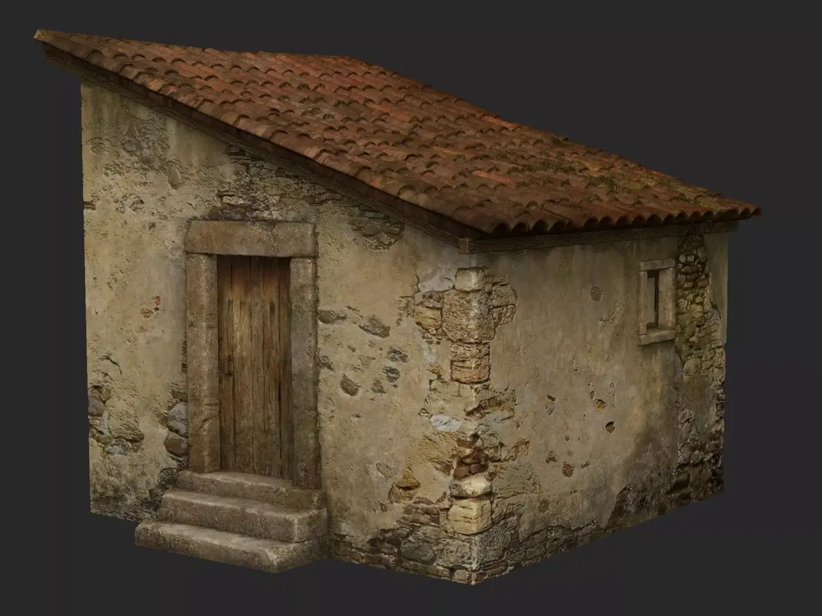
- BUILDINGS
- residential
- detached houses
- commercial
- industrial
- educational
- public
- sports
- parkings
- transport
- religious
- unclassified
- ROADS
- highways
- primary
- secondary
- tertiary
- residential
- service
- RAILWAYS
- high-speed train
- city tram
- subway
- monorail
- construction
- abandoned
- PAVEMENT
- pedestrian
- sidewalk
- paths
- cycleway
- LANDUSE
- residential
- rural
- public
- industrial
- construction
- agriculture
- VEGETATION
- forest
- grass
- scrub
- park
- garden
- cemetery
- recreation
- LAND
- WATER
- AIRPORT
- building (terminal, gates)
- apron
- taxiway
- runway
- marking
SUPPORT - please send us a message 24/7
- FREE - Product update with the latest GIS data
- $199+ - Request any other city or area (same day delivery)
- $99+ - Add terrain based on SRTM or LIDAR elevation data (3-5 LODs optimized)
MAX (Autodesk 3ds Max, filesize: 2.1 GB), BLEND (Blender, filesize: 596 MB), OBJ (OBJ, filesize: 1.73 GB), FBX (Autodesk FBX, filesize: 1.91 GB), MAX (Autodesk 3ds Max, filesize: 2.1 GB), C4D (Cinema 4D, filesize: 548 MB), MA (Autodesk Maya, filesize: 651 MB), GLTF (glTF, filesize: 292 MB), DXF (DXF, filesize: 630 MB), DAE (Collada, filesize: 968 MB), 3DM (Rhinoceros 3D, filesize: 966 MB), DWG (AutoCAD, filesize: 685 MB), SKP (Sketchup, filesize: 986 MB), UNITYPACKAGE (Unity 3D, filesize: 855 MB), RFA (Autodesk Revit, filesize: 522 MB), PDF (PDF, filesize: 48.7 MB), 3DS (3D Studio, filesize: 292 MB), LS10 (Lumion, filesize: 48.7 MB), STL (Stereolithography, filesize: 48.7 MB), UASSET (UnrealEngine, filesize: 48.7 MB), FBM (fbm, filesize: 243 MB)