Topographical map of North America with borders 3D print model
Home Catalog Topographical map of North America with borders 3D print model

Publication date: 2022-09-23
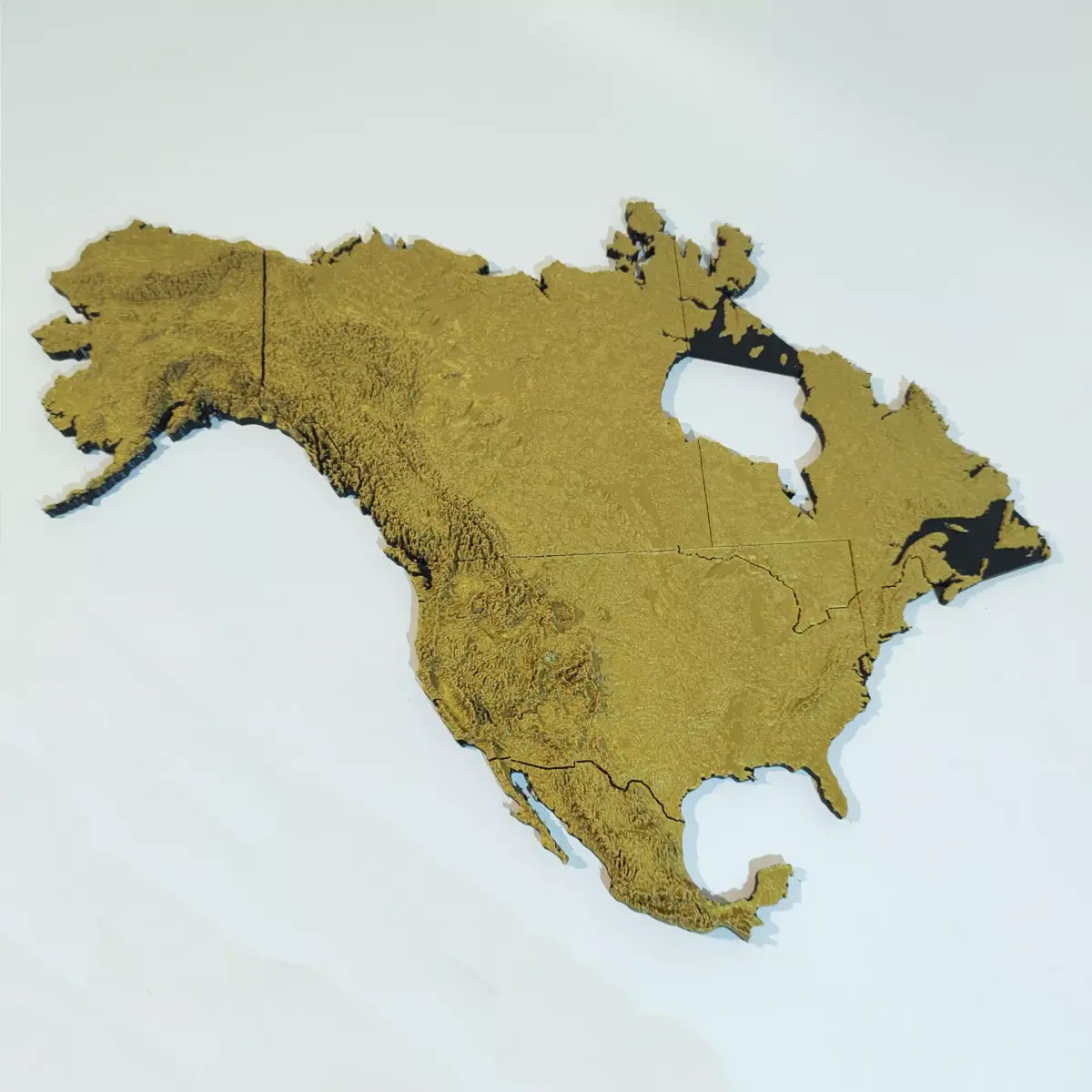
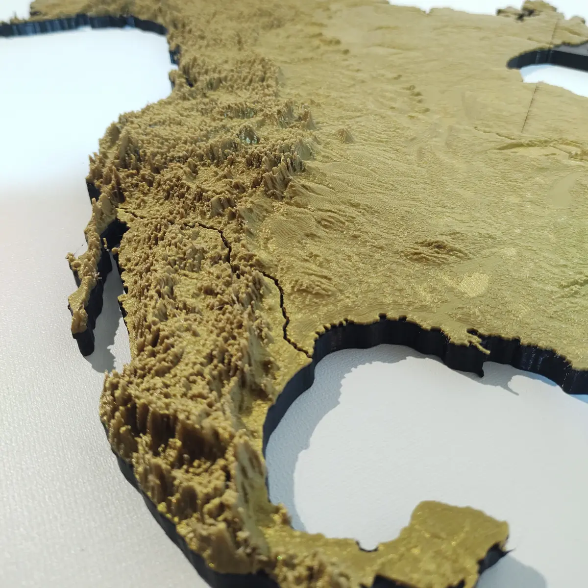
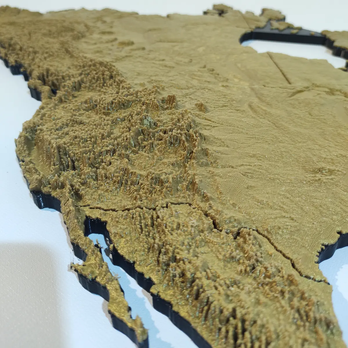
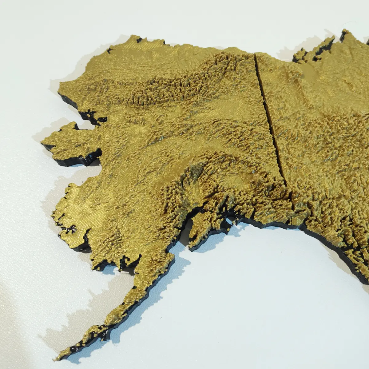
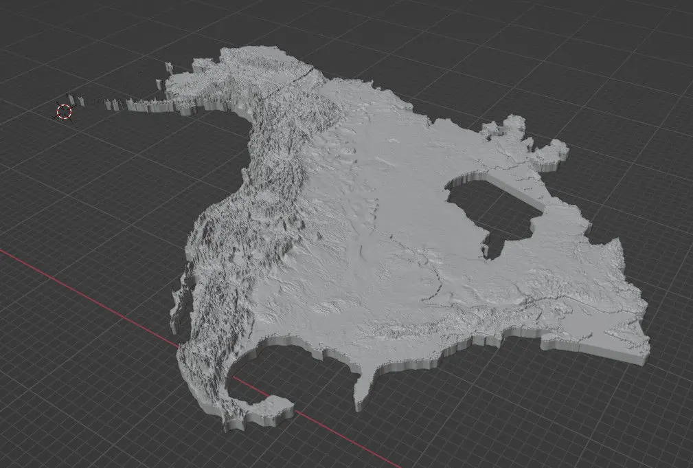
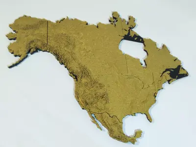
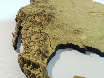
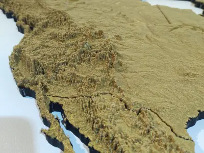
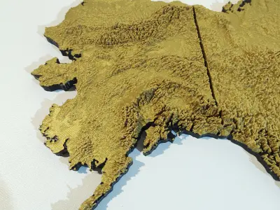
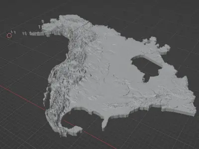
Topographical map of North America with borders 3D print model

$30

License: Distributed under creative commons-attribution: https://creativecommons.org/licenses/by/4.0/

author:

rulo3dimpresiones

All content related to this 3D asset—including renders, descriptions, and metadata — is credited to its original author, «rulo3dimpresiones». CGhub does not claim copyright ownership over the content used.
  • Description
  • Formats

A relief map of North America ready to print.

The file is split in 3 parts to fit a 30cm printer, resulting in an 67x51cm print, or you can scale it down to something more manageable.

If you want to print it all in one go, a solid model is also included.

Elevation maps based off of SRTM data and presented in Mercator projection. The model includes terrain up to 71° North.

For best results, switch between two contrasting filament colors after the base is finished. A coat of protective spray is recommended if it will touched repeatedly.

Native Formats: BLEND (Blender, filesize: 138 MB) Exchange Formats: STL (Stereolithography, filesize: 940 MB)

3D Model details

  • cgtrader Platform
  • Animated
  • Rigged
  • Ready for 3D Printing
  • VR / AR / Low-poly
  • PBR
  • Textures
  • Materials
  • UV Mapping
  • Unwrapped UVs: Unknown
  • Geometry: Unknown
  • Polygons: 0
  • Vertices: 0
Similar models
image-product
rig pbr
Add to Wishlist Remove from Wishlist View
image-product
Add to Wishlist Remove from Wishlist View
image-product
realtime pbr
Add to Wishlist Remove from Wishlist View
image-product
Add to Wishlist Remove from Wishlist View
image-product
realtime
Add to Wishlist Remove from Wishlist View