Publication date: 2020-09-28
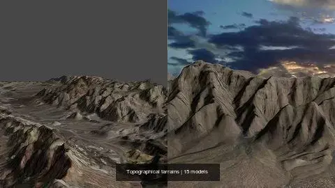
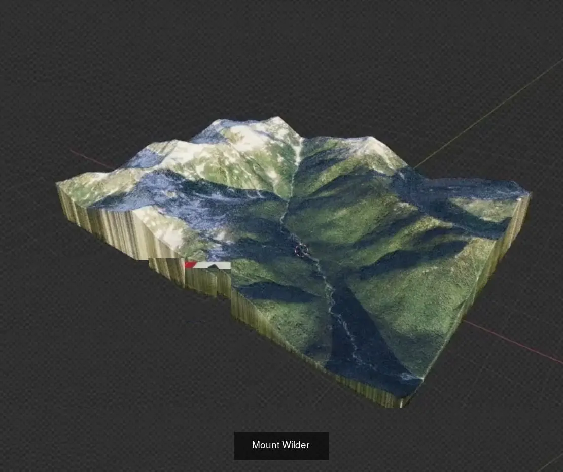
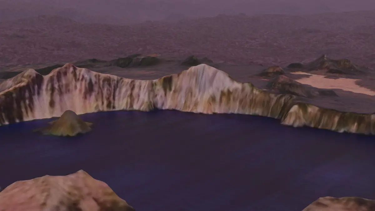
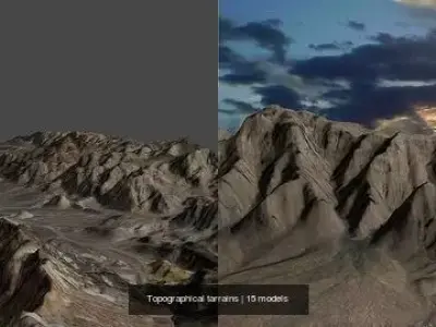
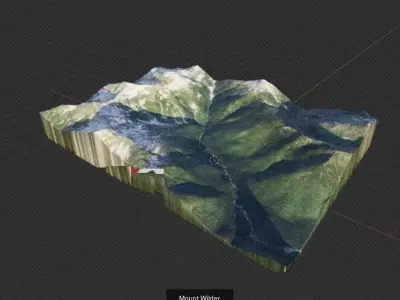
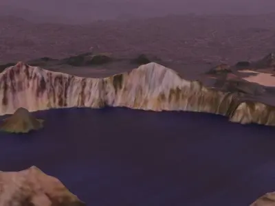
Buy Topographical tarrains 3D Model Pack
$355
License: Royalty Free
author:
RogerDS
3D Model details
- cgtrader Platform
- Animated
- Rigged
- Ready for 3D Printing
- VR / AR / Low-poly
- PBR
- Textures
- Materials
- UV Mapping
- Polygons: 0
- Vertices: 0
- Geometry: Unknown
Similar models


Find the models you need