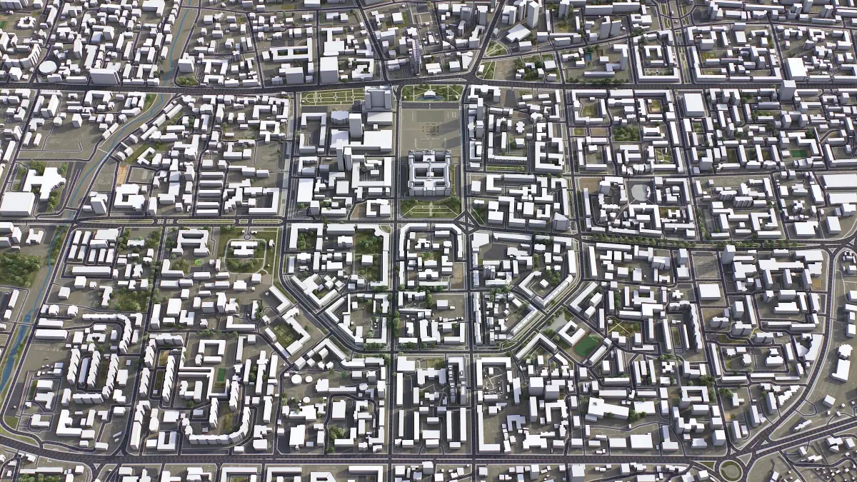
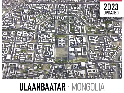
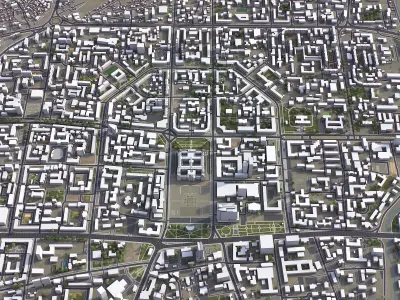
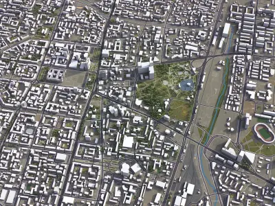
Publication date: 2023-05-30
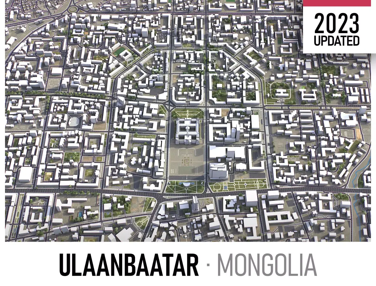
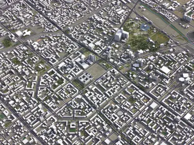
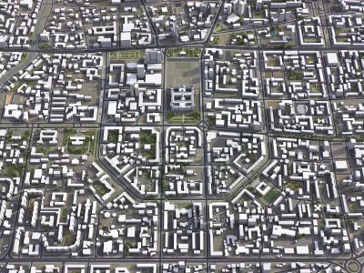
Buy Ulaanbaatar Low-poly 3D model
$299
License: Royalty Free

author:
3D-City-Projects
3D Model details
- cgtrader Platform
- Animated
- Rigged
- Ready for 3D Printing
- VR / AR / Low-poly
- PBR
- Textures
- Materials
- UV Mapping
- Polygons: 1
- Vertices: 1
- Geometry: Polygon mesh
Similar models
Find the models you need