US Political Map with Counties 3D model
Home Catalog US Political Map with Counties 3D model

Publication date: 2016-05-01
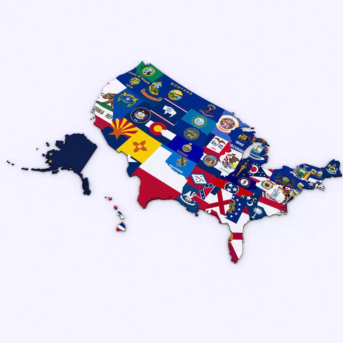
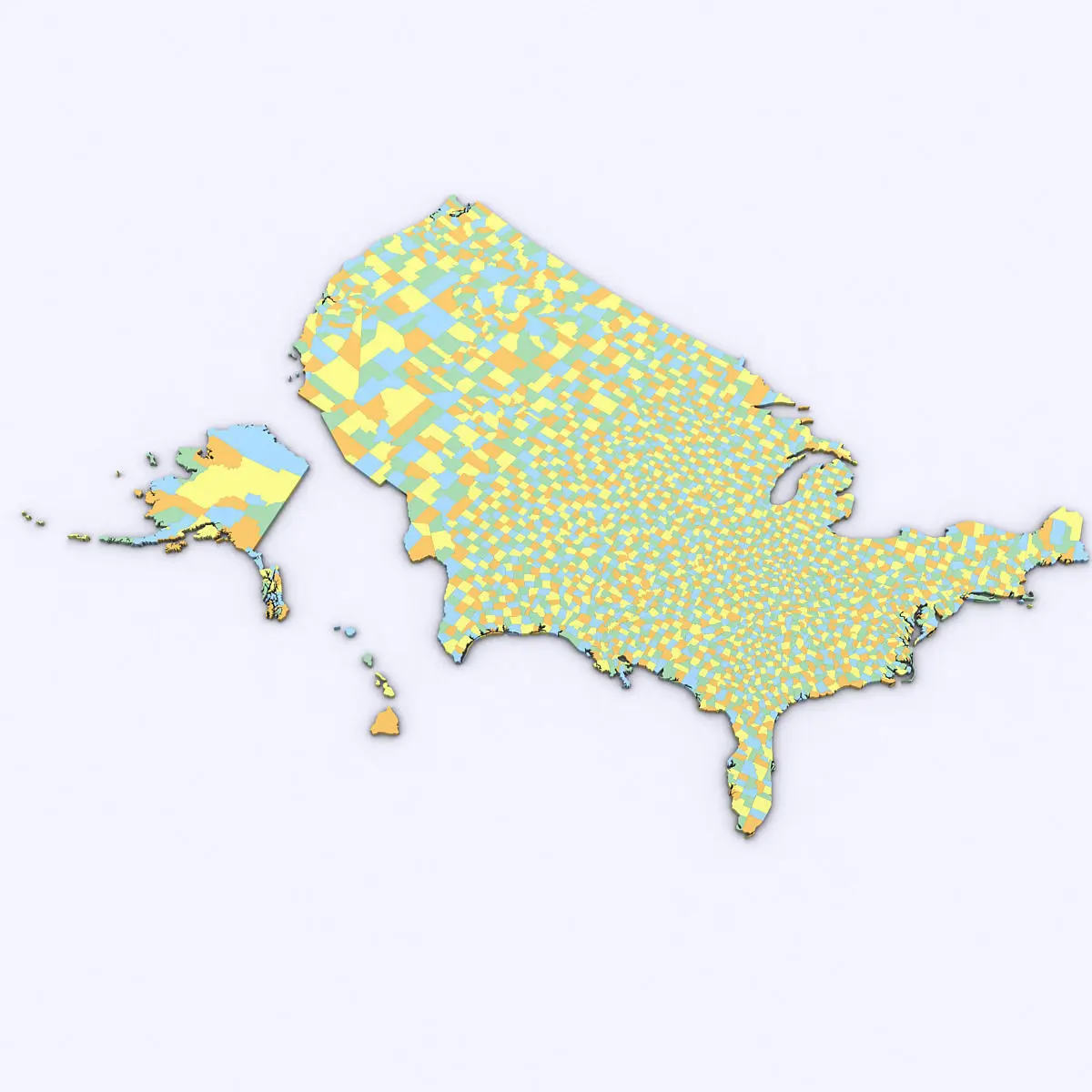
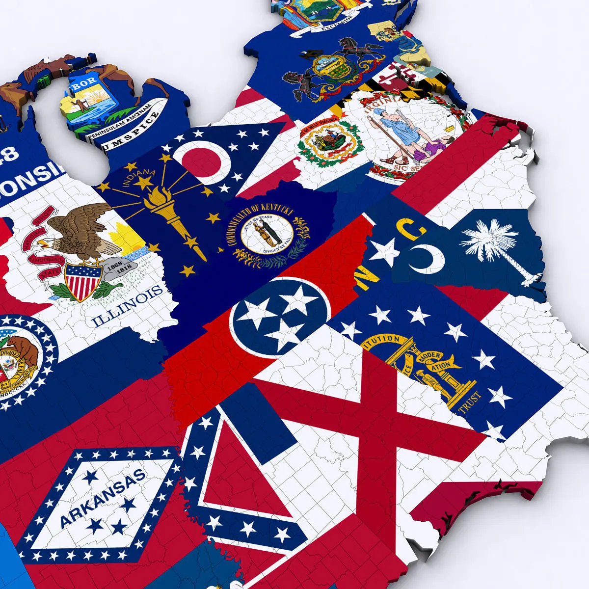
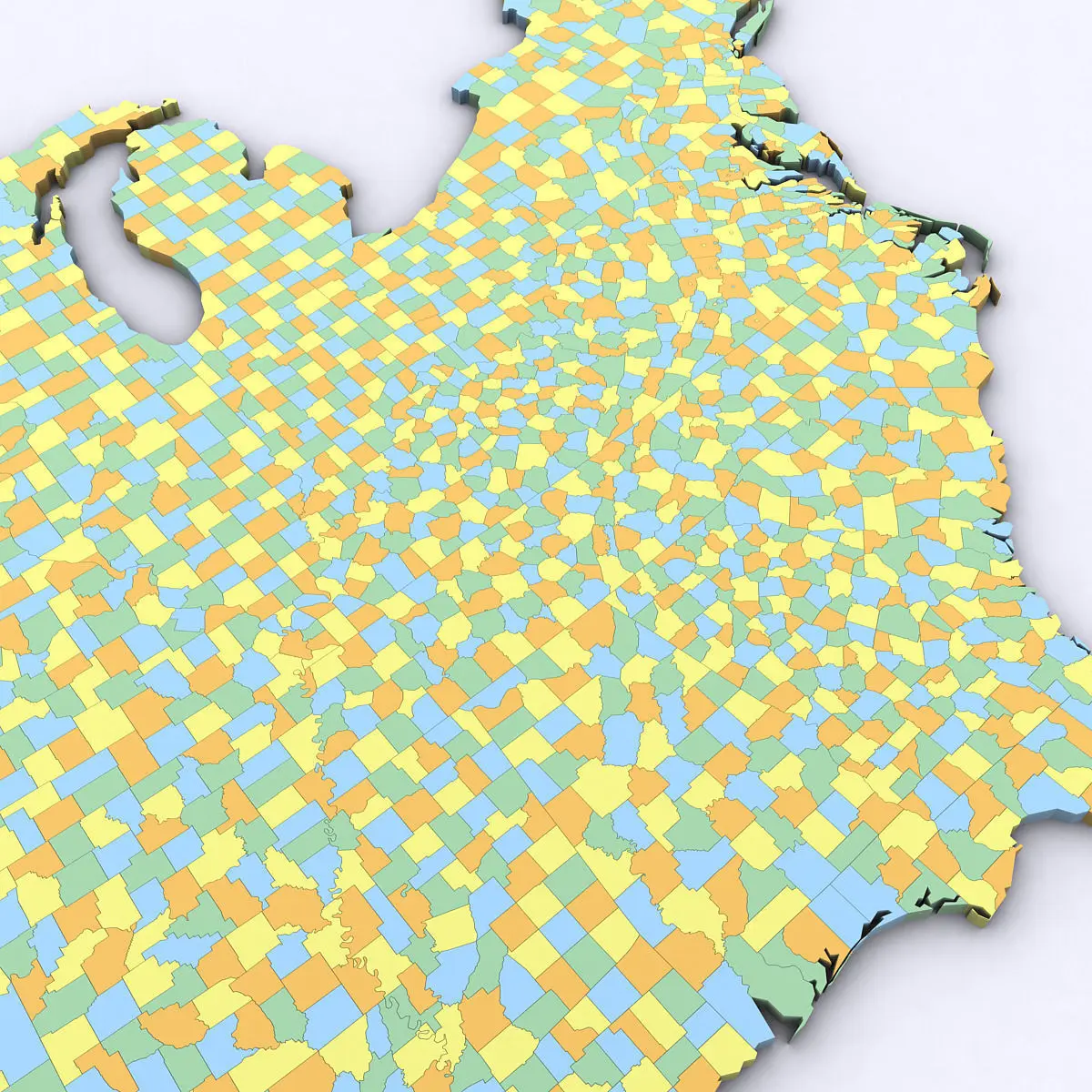
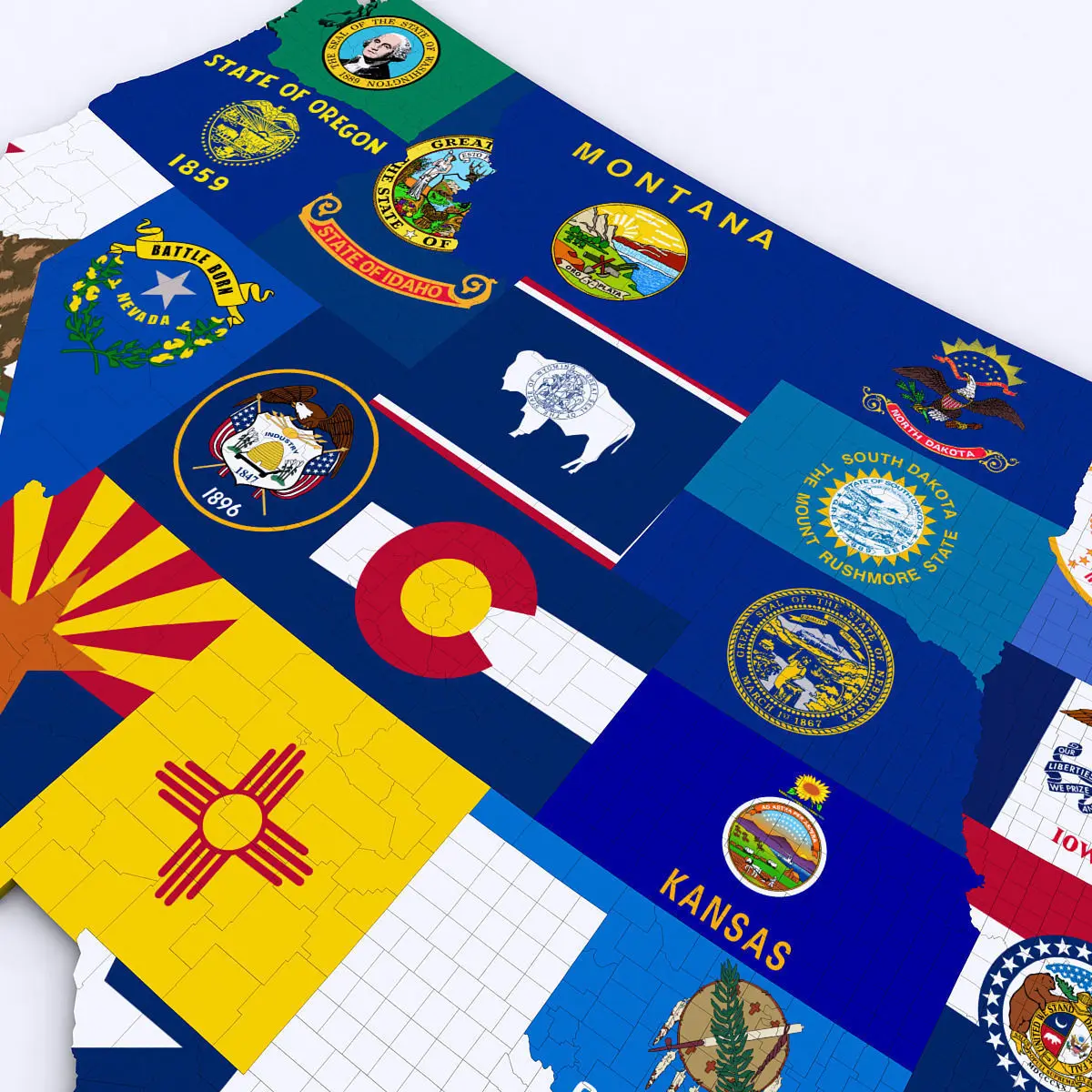
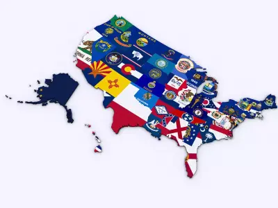
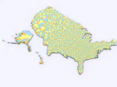
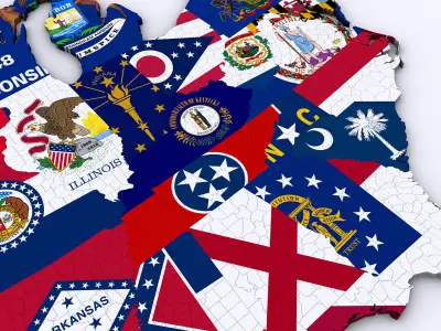
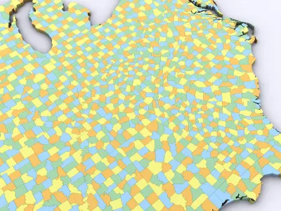
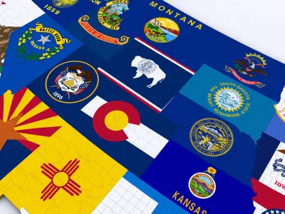
US Political Map with Counties 3D model

$500

License: Royalty Free

author:

Plutonius3d

All content related to this 3D asset—including renders, descriptions, and metadata — is credited to its original author, «Plutonius3d». CGhub does not claim copyright ownership over the content used.
  • Description
  • Formats

3d Model of the Political Map of the United States. Map includes every county in the entire United States.

All counties are grouped by the state they are in for easy navigation.

Modifier stack is uncollapsed allowing for easy change of the extrusion of each county. Product also includes a version that features a high resolution image of the flag of each state.

Includes over 3,000 counties in the United States.

OBJ (OBJ, filesize: 47.3 MB), MAX (Autodesk 3ds Max, filesize: 14.8 MB), OTHER (Other, filesize: 42.1 MB), 3DS (3D Studio, filesize: 18.5 MB)

3D Model details

  • cgtrader Platform
  • Animated
  • Rigged
  • Ready for 3D Printing
  • VR / AR / Low-poly
  • PBR
  • Textures
  • Materials
  • UV Mapping
  • Polygons: 470658
  • Vertices: 241917
  • Geometry: Polygon mesh
Similar models
image-product
pbr
Add to Wishlist Remove from Wishlist View
image-product
realtime pbr
Add to Wishlist Remove from Wishlist View
image-product
realtime
Add to Wishlist Remove from Wishlist View
image-product
Add to Wishlist Remove from Wishlist View
image-product
realtime pbr
Add to Wishlist Remove from Wishlist View