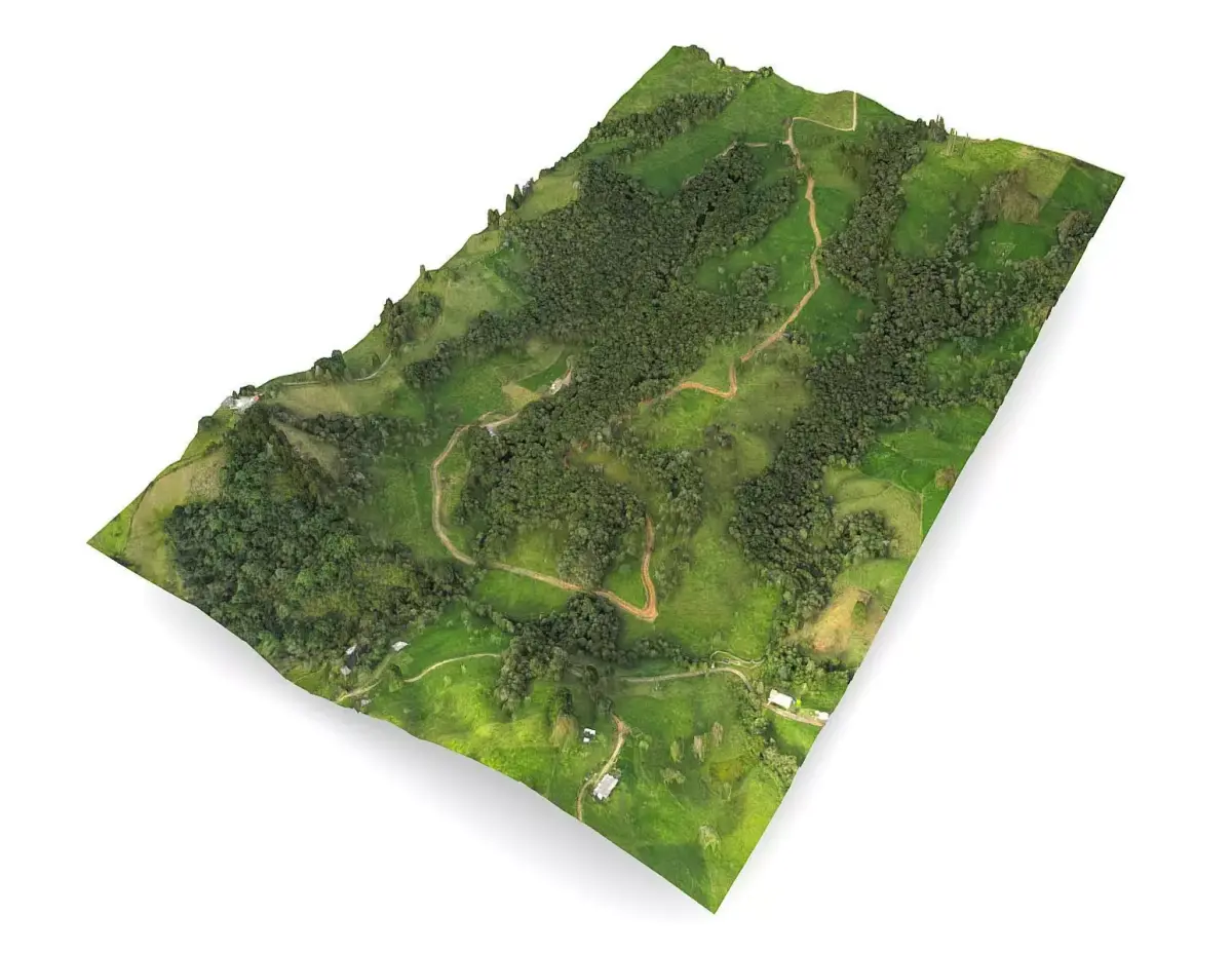
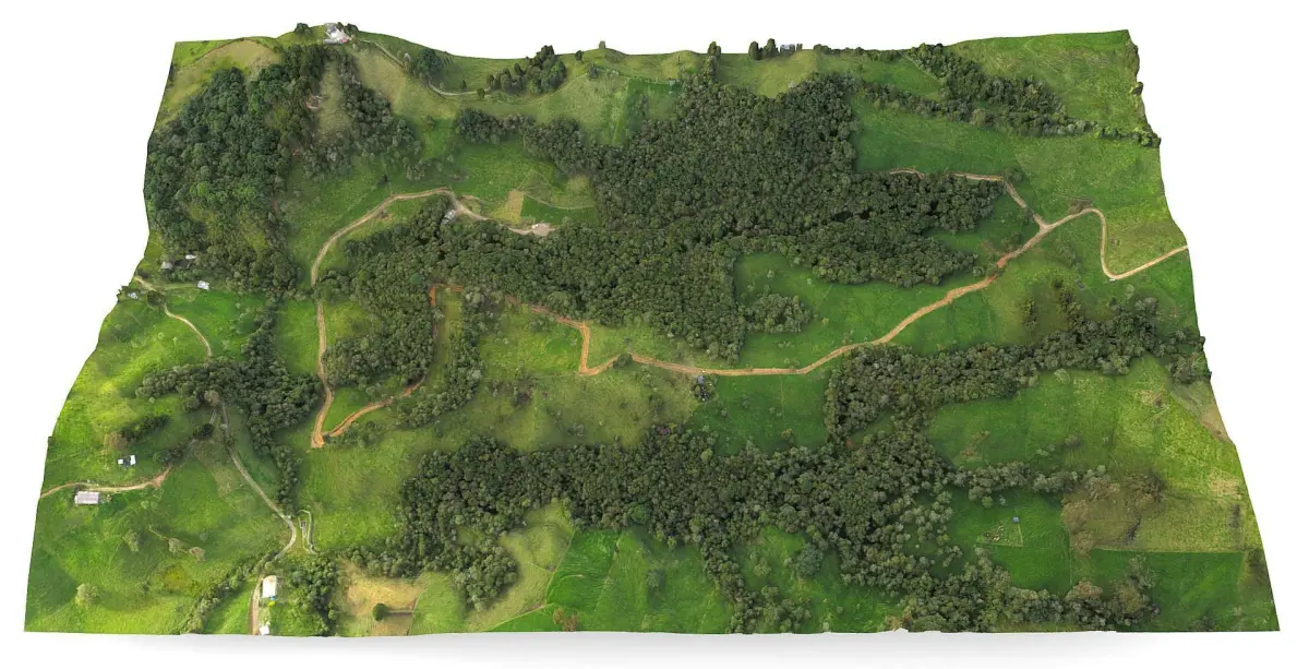
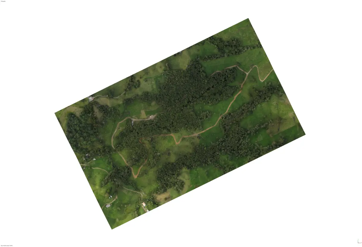
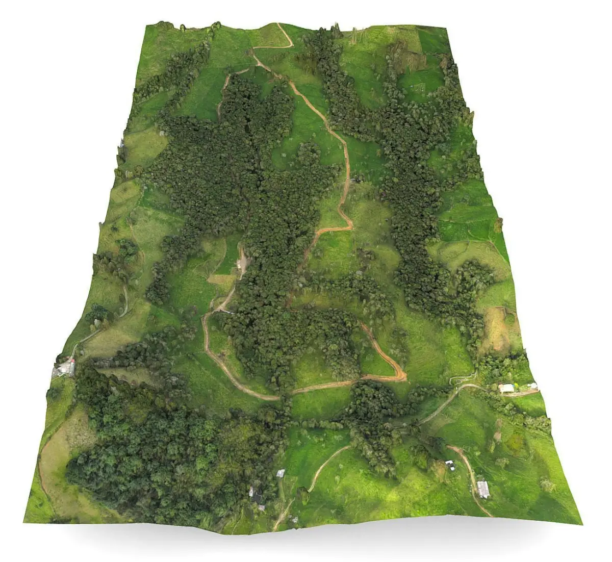
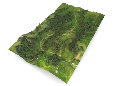
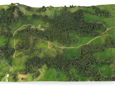
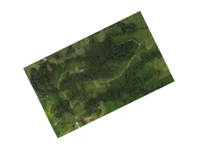
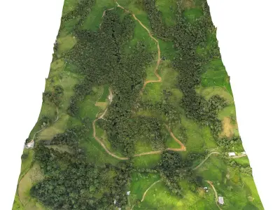
Precise, detailed, and high-quality aerophotogrammetry of a dairy farm.
Professional 3D asset designed for precision agriculture and industrial visualization. Developed for high-end applications in the dairy industry, this model supports Industry 4.0 workflows for pasture management, forest mapping, and topographical analysis.
Located near San Pedro de los Milagros town at 2550m (8367ft) AMSL, Northern Colombian Andes, South America.
Key Technical Features:
Applications: Precise mapping of pastures, forests, and road infrastructure.
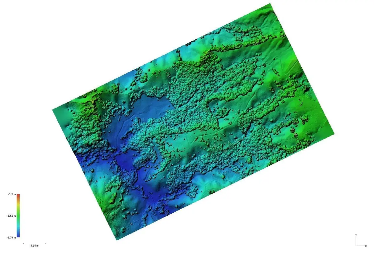
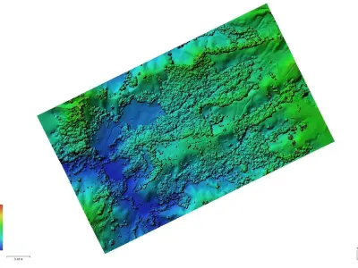
Utility: Includes contour lines and visible light bandwidth (RGB) for early anomaly detection in paddocks.
Data Value: Optimized for increasing productive efficiency and site management in high-altitude terrain (2550m AMSL).
Compatibility: Ready for Digital Twins, VR/AR simulation, and GIS data integration.
Available files: STL, OBJ, FBX, GLTF, 3DS, DAE, WRL, ABC, PLY, DXF, PDF.
History & Updates:
18.01.2018: Initial Release.
23.03.2023: Updated (Optimized for VR/AR).
ID: (165)
STL (Stereolithography, filesize: 30.3 MB), OBJ (OBJ, filesize: 52.1 MB), FBX (Autodesk FBX, filesize: 109 MB), JPG (JPG, filesize: 503 MB), GLTF (glTF, filesize: 42.3 MB), 3DS (3D Studio, filesize: 43.8 MB), DAE (Collada, filesize: 50.2 MB), WRL (VRML, filesize: 55.2 MB), ABC (Alembic, filesize: 44.5 MB), PLY (Ply, filesize: 51.9 MB), DXF (DXF, filesize: 58.7 MB), PDF (PDF, filesize: 42.7 MB)