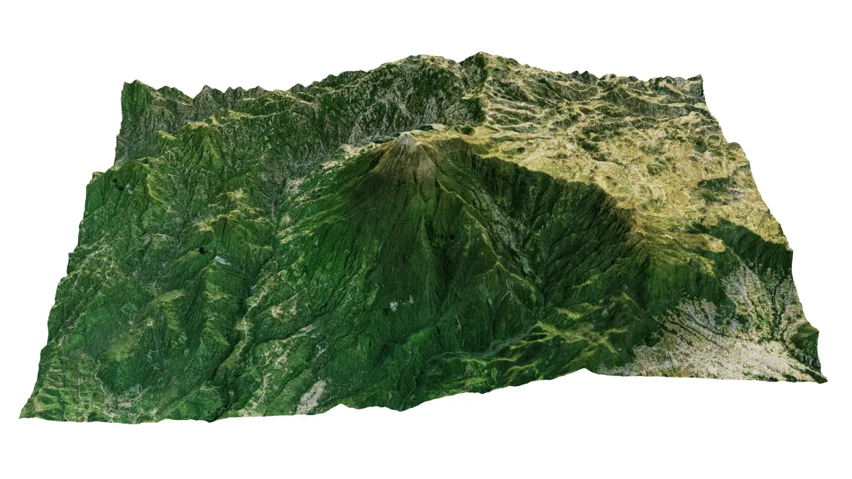
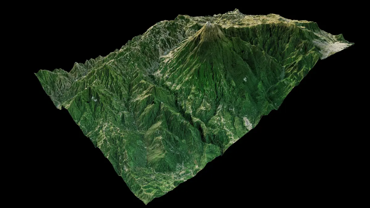
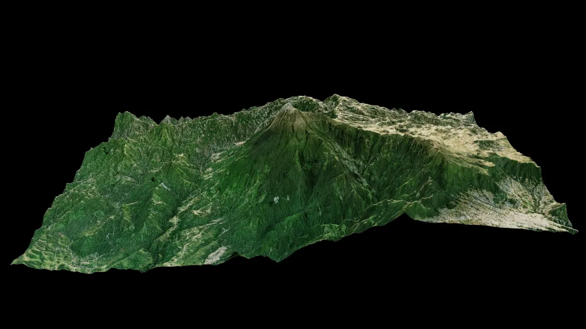
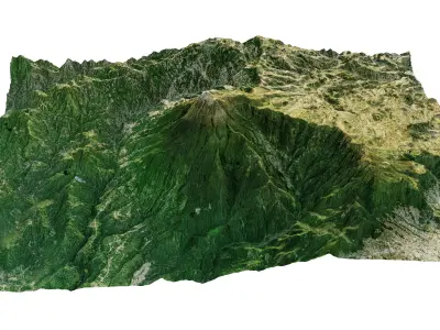
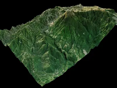
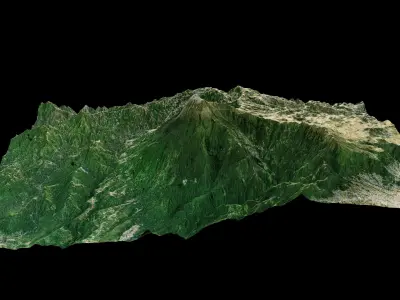
Tajumulco Volcano 3d Terrain model. stratovolcano Tajumulco 3d model landscape.
3d model landscape of Volcán Tajumulco, San Marcos, Guatemala.
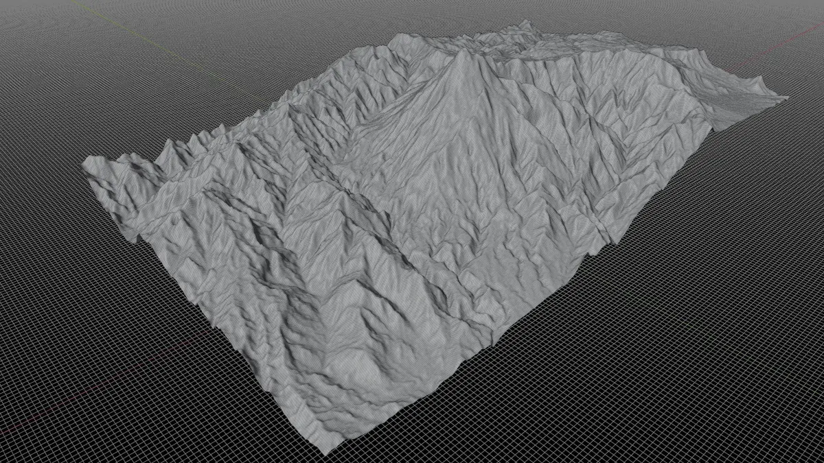
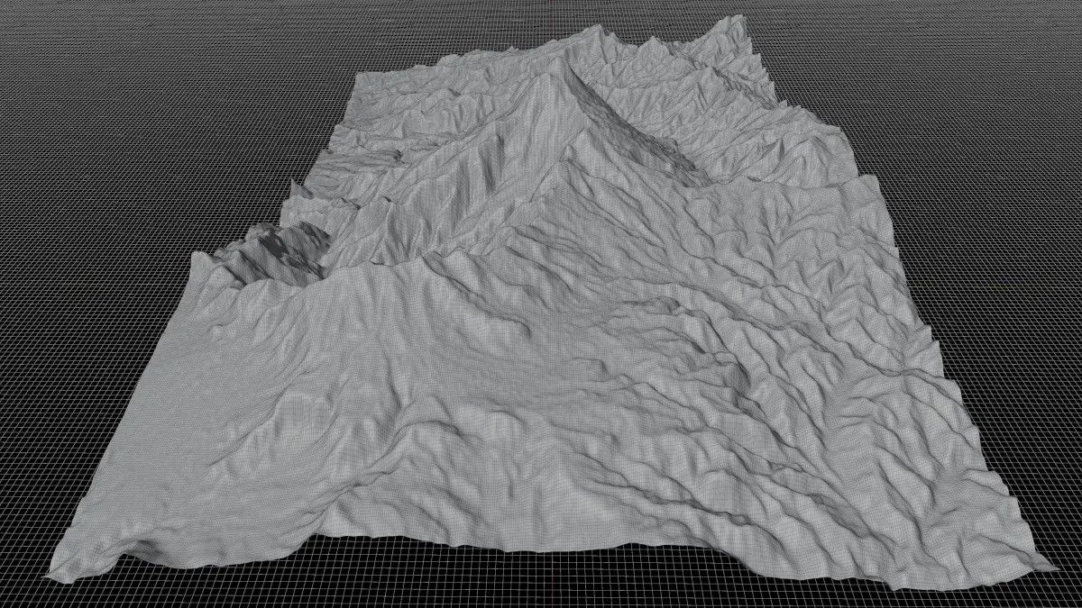
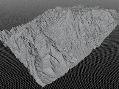
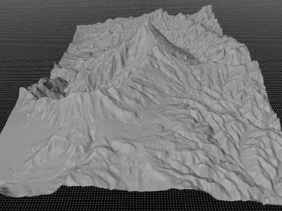
High Poly meshHigh detailed model
with 8K textures
- Diffuse map
- AO map
- Displacement map
- Normal map
- Roughness map
The Blend file do not require the displacement, but you can still use it if you want to create other model yourself
Texture example from the Tajumulco Volcano, San Marcos, Guatemala. Volcán Tajumulco is a large stratovolcano in the department of San Marcos in western Guatemala. It is the highest mountain in Central America at 4,203 metres. It is part of the mountain range of the Sierra Madre de Chiapas, which begins in Mexico's southernmost state of Chiapas. Tajumulco is composed of andesitic-dacitic lavas on the top of a large escarpment of uncertain origin. It has two summits, one of which has a crater 50–70 metres (160–230 ft) wide.
STL (Stereolithography, filesize: 25 MB), OBJ (OBJ, filesize: 41.5 MB), BLEND (Blender, filesize: 82.2 MB), FBX (Autodesk FBX, filesize: 16.7 MB), TEXTURES (Textures, filesize: 135 MB)