Publication date: 2023-04-18
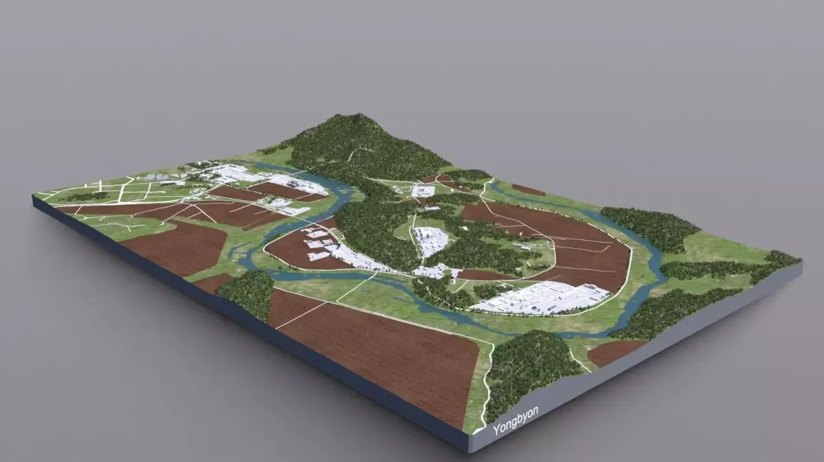
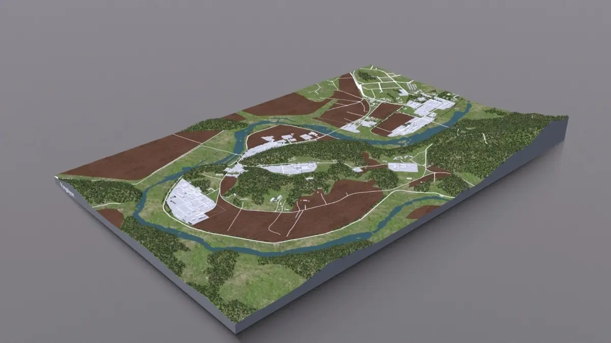
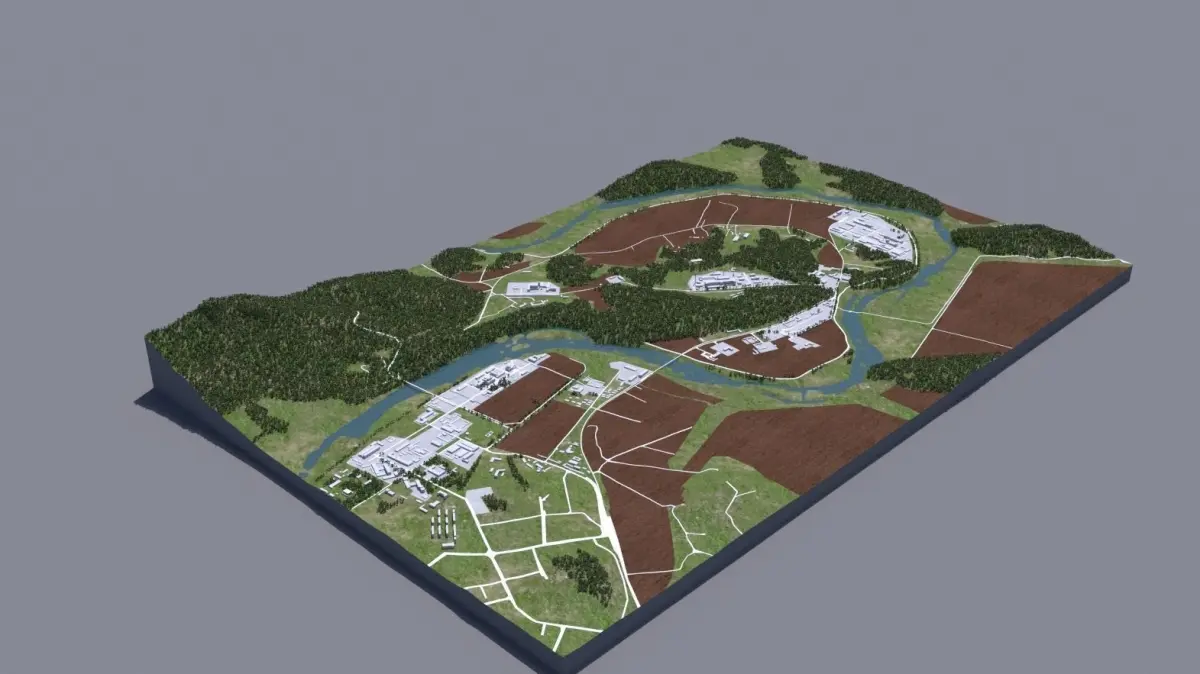
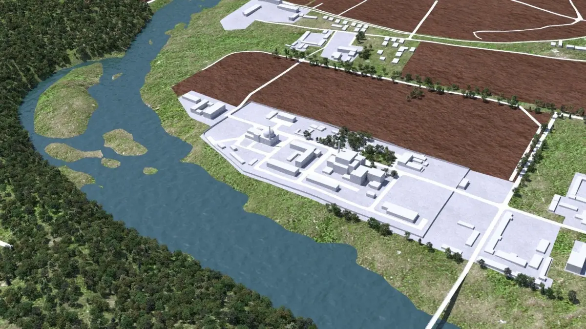
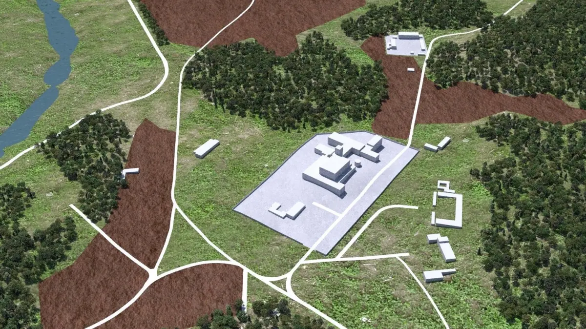
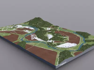
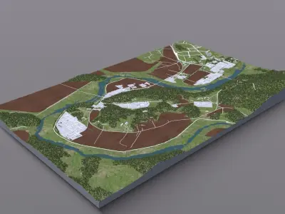
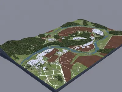
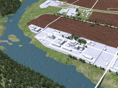
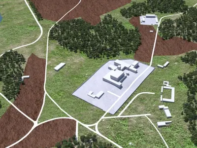
Buy Yongbyon Nuclear Facility 3D model
$199
License: Custom
3D Model details
- cgtrader Platform
- Animated
- Rigged
- Ready for 3D Printing
- VR / AR / Low-poly
- PBR
- Textures
- Materials
- UV Mapping
- Polygons: 507499
- Vertices: 396365
- Plugins used
- Geometry: No N-gons | No faceted geometry | Manifold geometry |
Similar models


Find the models you need