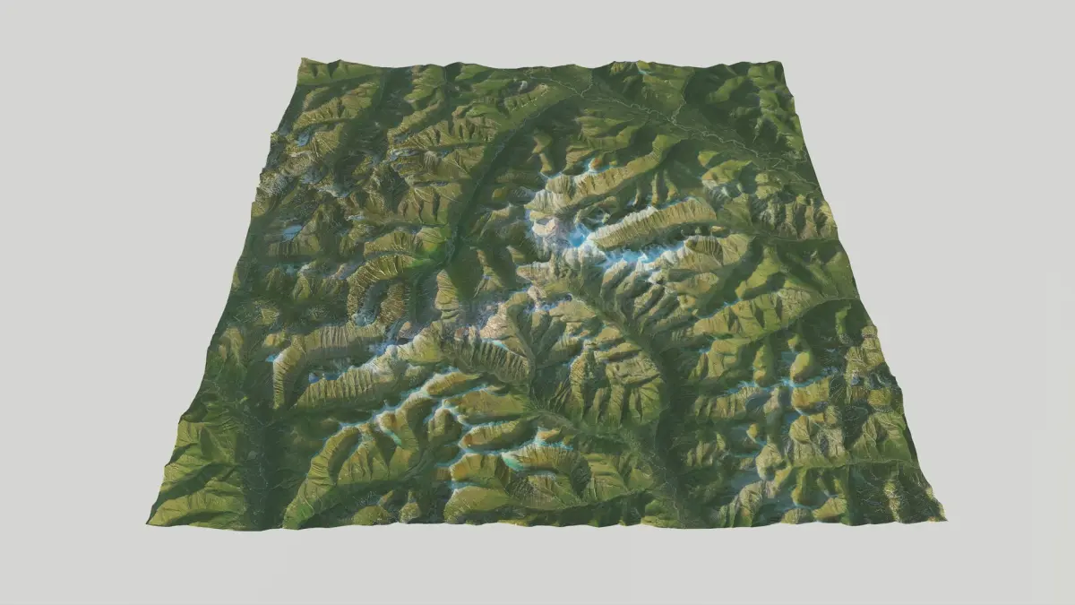
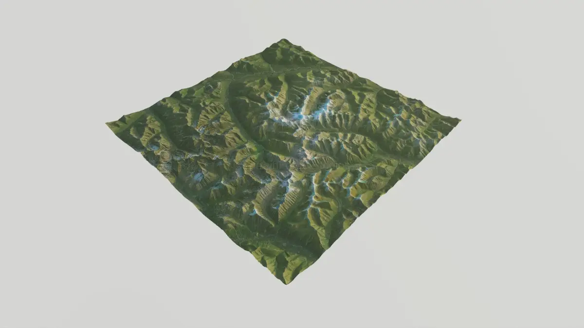
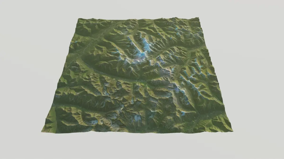
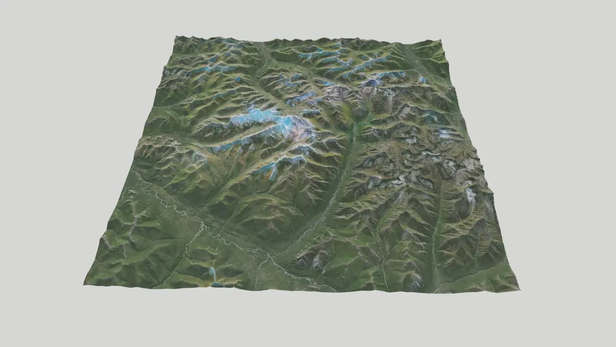
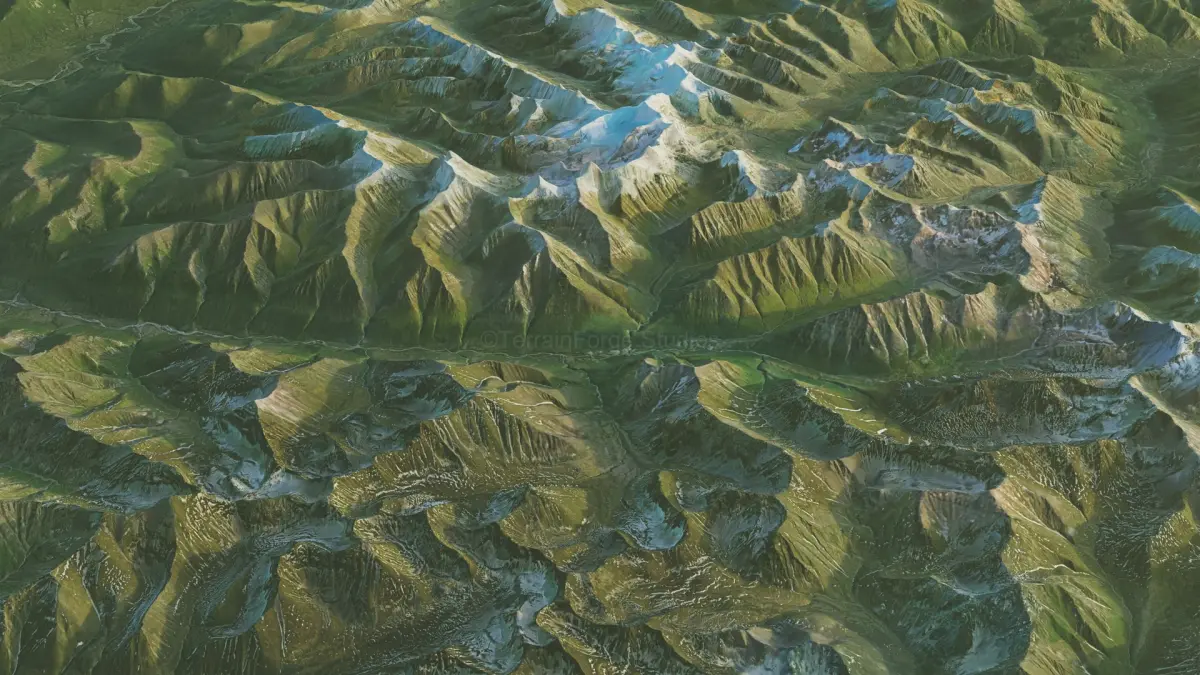
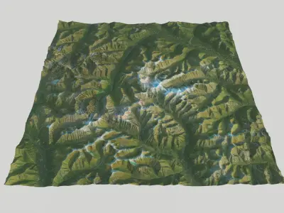
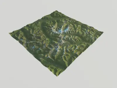
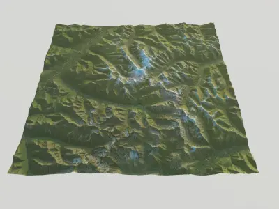
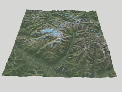
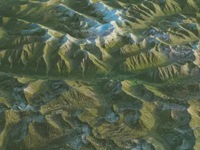
High-resolution 3D terrain of the Arrigetch Peaks, based on accurate 5-meter DEM data and designed for
professional environment creation. Ideal for real-world simulations, game development, and virtual production workflows.
Technical Specifications
• Location: Alaska, Gates of Artic National Park, Peaks of Arrigetch
• Precision: 5m (Capturing intricate topographical details.)
• Width: 41km x 41 km ( 25.5miles x 25.5 miles ), Elevation: 202 – 2120 m ( 6955feet).
• Mesh polygon count is optimized for performance.
• Height maps are included if you to control number of polygons.
Textures & Maps
10700 x 10700 px Textures (Lossless PNG):
• Satellite
• Topograhical
• Ambient Occlusion (AO)
• Roughness
• Metal
• Normal (OpenGL, Y+)
Height & Displacement (High-Bit Depth)
• Mesh height(displacement) map available as 16-bit PNG and 32-bit TIFF for maximum precision and artifact-free displacement.
General Info
• Model is created according to Stem Cell certification criteria - standard and Stem Cell certified.
• Preview renders done in variety of lightning conditions, from dawn, morning - midday.
• Mostly rendered with real time renderer in standard lightning conditions without post processing. What you see is what you get.
• Designed for ease of use with no hassle. Just drop and render.
Experience the beauty of Alaskan iconic granite spires in 3D!
Native | 3ds Max 2022, 2025 | V-Ray Blender 3.4 | Blender Render 3,4 Maya 2017 | Arnold 5.3.1.1 Maya 2015 | V-Ray 3.2 Cinema 4D R18 | Arnold 3.2 3ds Max 2015 | V-Ray 5.20.23 3ds Max 2018 | Arnold 7.0 Cinema 4D R18 | Advanced Render 3.2 FBX USDz glTF