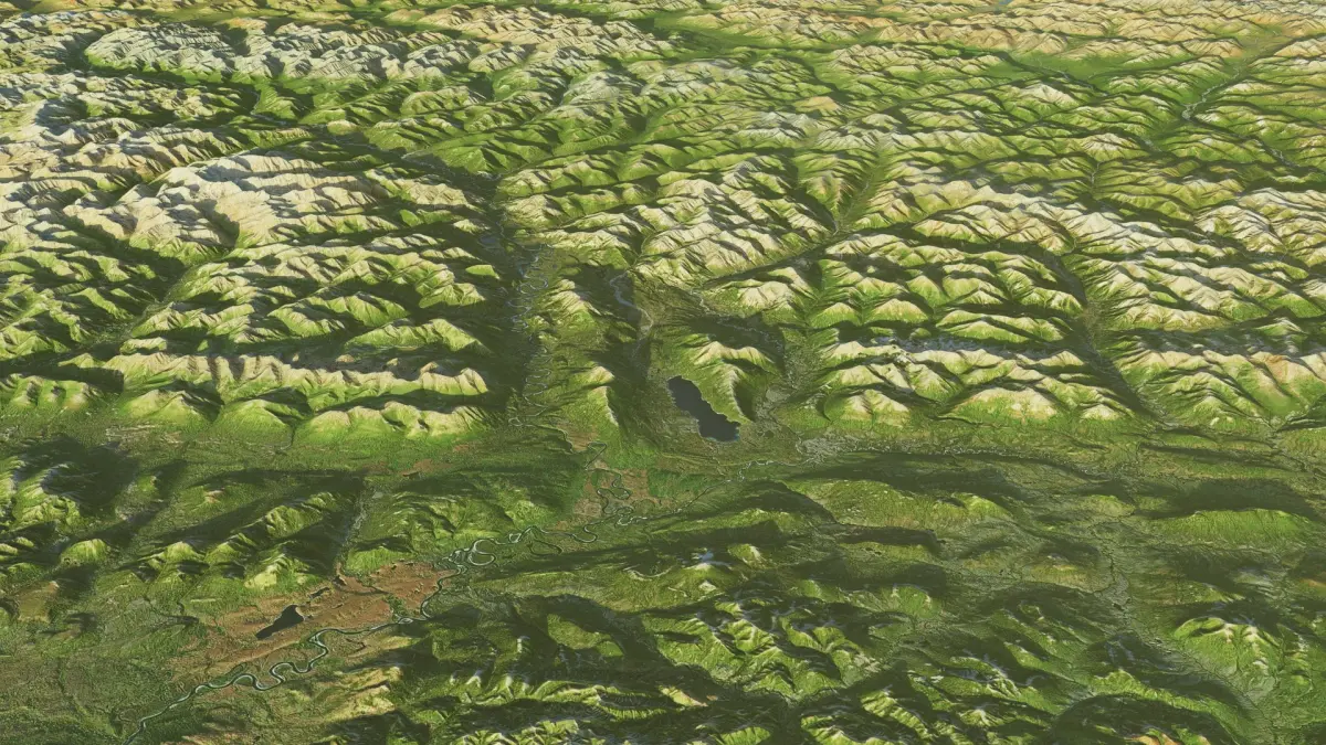
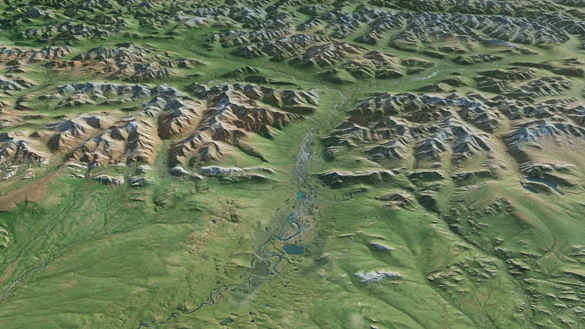
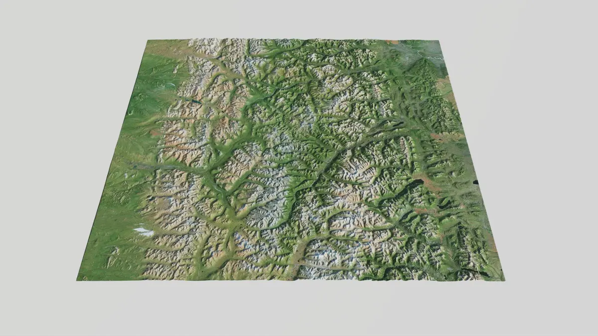
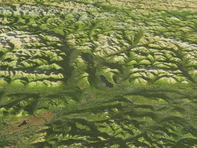
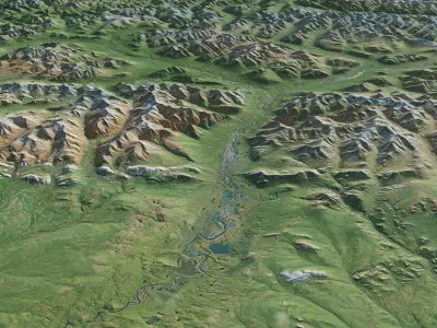
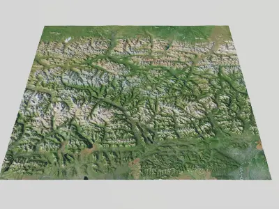
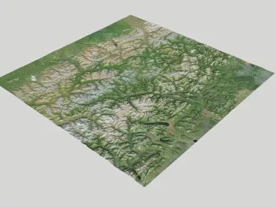
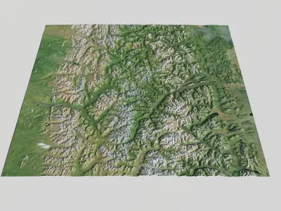
As a vast sanctuary with no roads or trails, Gates of the Arctic preserves a primal landscape of sharp, glacier-carved peaks and wild, winding rivers. It is a place of profound solitude and immense scale, offering a glimpse into a world still governed by the powerful, ancient rhythms of nature.
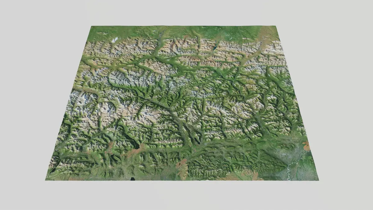
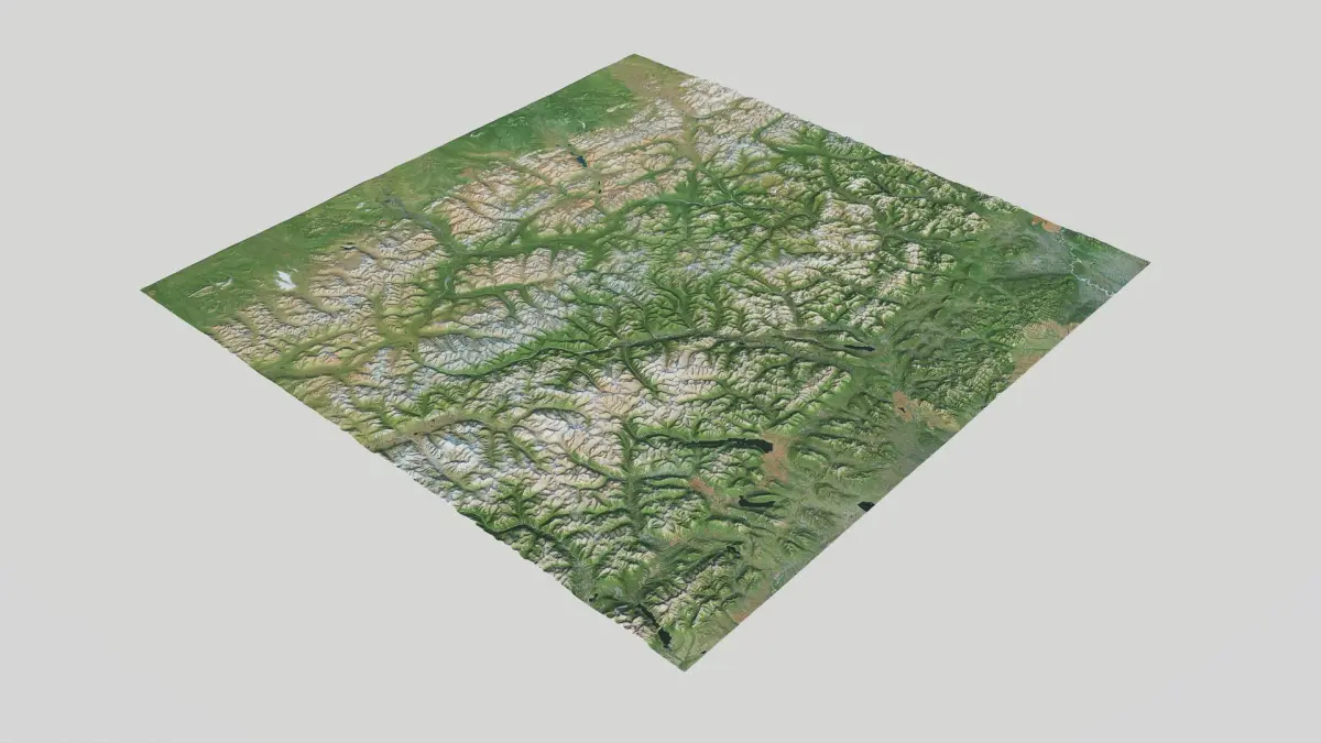
Large scale Alaskan terrain was constructed from high precision Dem data, so topography is very precise and realistic with lots of details. The satellite maps are clean, without clouds and minimal shadows.
Technical Specifications
• Location: Alaska, Gates of Artic National Park
• Precision: 5m (Capturing intricate topographical details.)
• Width: 200 x 200km (124 miles x 124 miles), Elevation: 0 – 2390 m (7841feet ).
• Mesh polygon count is optimized for performance.
• Height maps are included if you to control number of polygons.
Textures & Maps
13734 x 13734 px Textures (Lossless PNG):
• Satellite
• Topograhical
• Ambient Occlusion (AO)
• Roughness
• Metal
• Normal (OpenGL, Y+)
Height & Displacement (High-Bit Depth)
• Mesh height(displacement) map available as 16-bit PNG and 32-bit TIFF for maximum precision and artifact-free displacement.
General Info
• Model is created according to Stem Cell certification criteria - standard and Stem Cell certified.
• Preview renders done in variety of lightning conditions, from dawn, morning - midday.
• Mostly rendered with real time renderer in standard lightning conditions without post processing. What you see is what you get.
• Designed for ease of use with no hassle. Just drop and render.
Experience the beauty of Alaskan most remote and spectacular national parks in 3D!
Native | Blender 4.3 | Cycles Render Blender 3.4 | Blender Render 3,4 Maya 2017 | Arnold 5.3.1.1 Maya 2015 | V-Ray 3.2 Cinema 4D R18 | Arnold 3.2 3ds Max 2015 | V-Ray 5.20.23 3ds Max 2018 | Arnold 7.0 Cinema 4D R18 | Advanced Render 3.2 FBX USDz glTF