
Publication date: 2022-06-11
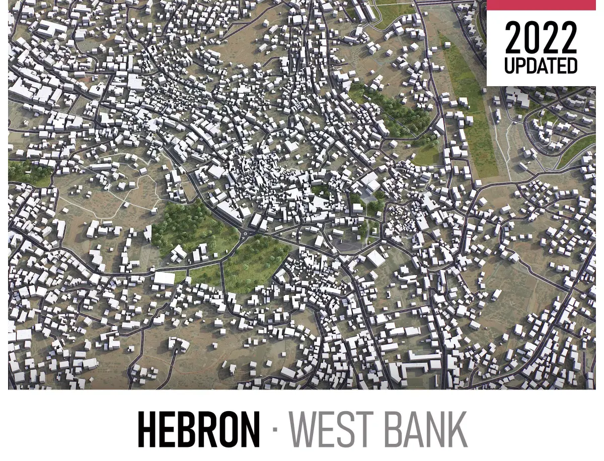
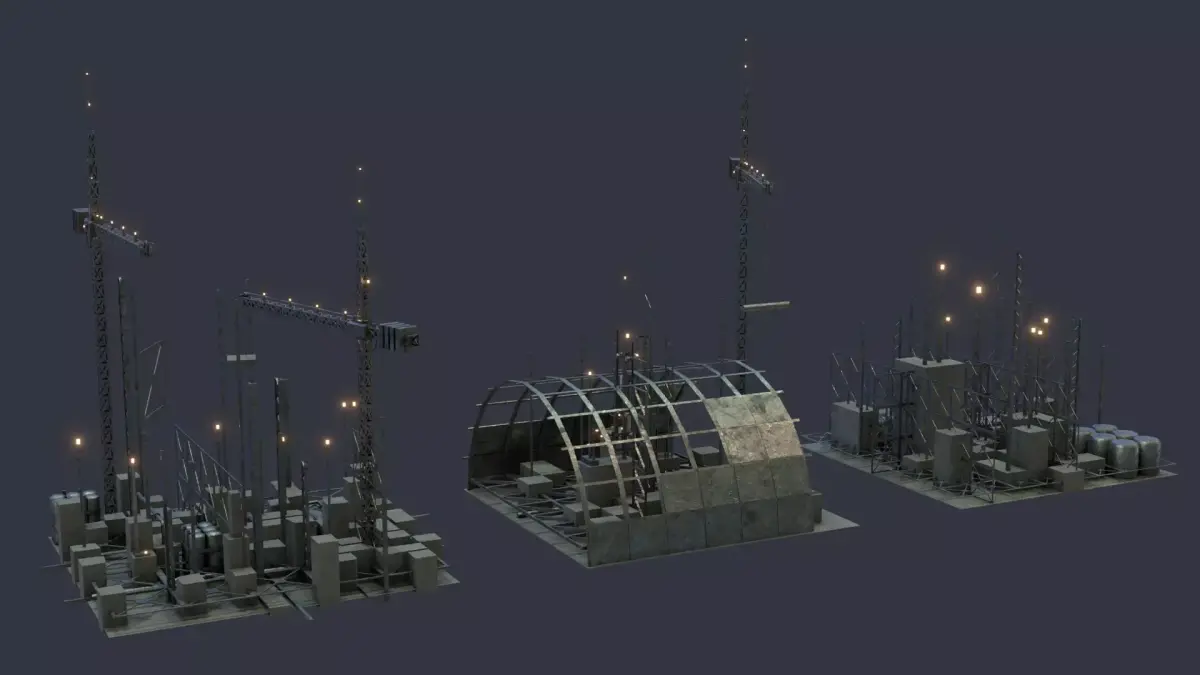
Buy Hebron Low-poly 3D model
$299
License: Royalty Free
Rigged
PBR
Realtime
Animated
Free

author:
3D-City-Projects
Renders and source materials belong to the author 3D-City-Projects.
Specifications
- Platform
- cgtrader
- Animated
- Rigged
- 3D Print ready
- VR / AR / Low-poly
- PBR
- Textures
- Materials
- UV Mapping
- Polygons
- 1
- Vertices
- 1
- Geometry
- No N-gons | No faceted geometry | Manifold geometry |
Usage recommendations
Realtime rendering
✓
PC Game development
✓
Mobile Game Development
✓
VR/AR applications
✓
Visualisation
✕
Cinema
✕
Advertising
✕
3D Printing
✕
CAD Engineering
✕
E-Commerce & Interactive 3D Web
✓
FAQ
Is this a free 3D model?
No, this model costs $299.
How do I download this 3D model?
Use the "Go to purchase" button below to get this model.
What license applies to this model?
This model is distributed under the Royalty Free license. Click "Go to purchase" for full license details.
Does it include rigging and animation?
This model has no rig or animation. It is a static 3D object.
Does this model have UV mapping?
Yes, this model has UV mapping. See the Specifications block for more information.
What textures and materials does this 3D model include?
This model has textures and materials, including PBR. See the Specifications block for more information.
Can I use it for 3D printing?
No, this model is not intended for 3D printing.
Additional information
- Scene size - 5 x 5 km - File formats - .max, .fbx, .obj, .dae - Custom package available at a special price
Additional options (please request before buying)
Extended scene size
up to 100 x 100km - Complete scene
Additional file formats
.skp - SketchUp
.3dm - Rhino 3D
.gltf, .glb - Games, Web, AR/VR
.unitypackage - Unity 3D
.rvt - Autodesk Revit
.stl - 3D Print
.c4d - Cinema4D
.blend - Blender
.ma, .mb - Autodesk Maya
.dwg, dxf - Autodesk AutoCAD
Topography terrain
Up to 1 meter accuracy raw terrain object (USGS 3D Elevation Program)
Multiple LODs optimized for the best polycount/details balance
Countour lines (up to 1 meter interval)
High-resolution (up to 64000x64000px) sattelite or surface texture
Buildings and roads placed on the optimized terrain
Other extras
On-demand custom update
Crop to custom area size or slice to tiles
Procedural textures assigned to all buildings
Individual buildings and streets (with address and/or name)
Administrative boundaries of all levels (named polygons or outlines)
Road and railway splines for traffic animation
Public transport stops with names
Additional options (please request before buying)
Extended scene size
up to 100 x 100km - Complete scene
Additional file formats
.skp - SketchUp
.3dm - Rhino 3D
.gltf, .glb - Games, Web, AR/VR
.unitypackage - Unity 3D
.rvt - Autodesk Revit
.stl - 3D Print
.c4d - Cinema4D
.blend - Blender
.ma, .mb - Autodesk Maya
.dwg, dxf - Autodesk AutoCAD
Topography terrain
Up to 1 meter accuracy raw terrain object (USGS 3D Elevation Program)
Multiple LODs optimized for the best polycount/details balance
Countour lines (up to 1 meter interval)
High-resolution (up to 64000x64000px) sattelite or surface texture
Buildings and roads placed on the optimized terrain
Other extras
On-demand custom update
Crop to custom area size or slice to tiles
Procedural textures assigned to all buildings
Individual buildings and streets (with address and/or name)
Administrative boundaries of all levels (named polygons or outlines)
Road and railway splines for traffic animation
Public transport stops with names
Similar models
Find the models you need