Publication date: April 22, 2024
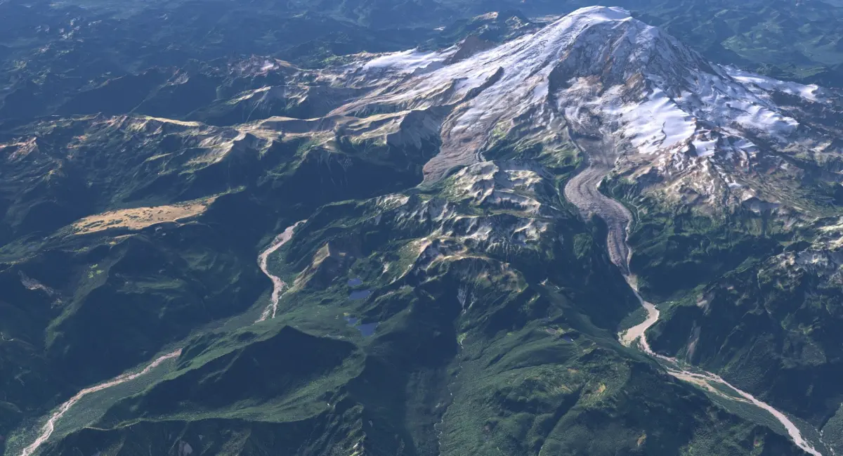
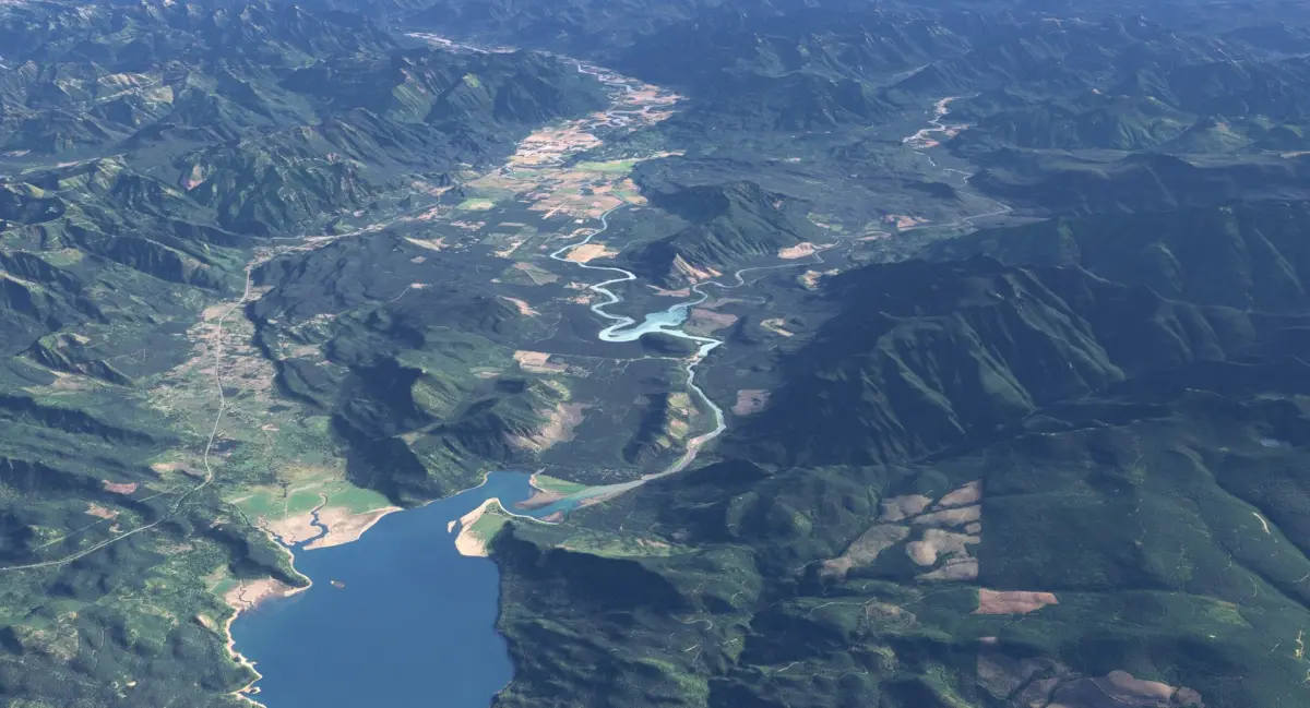
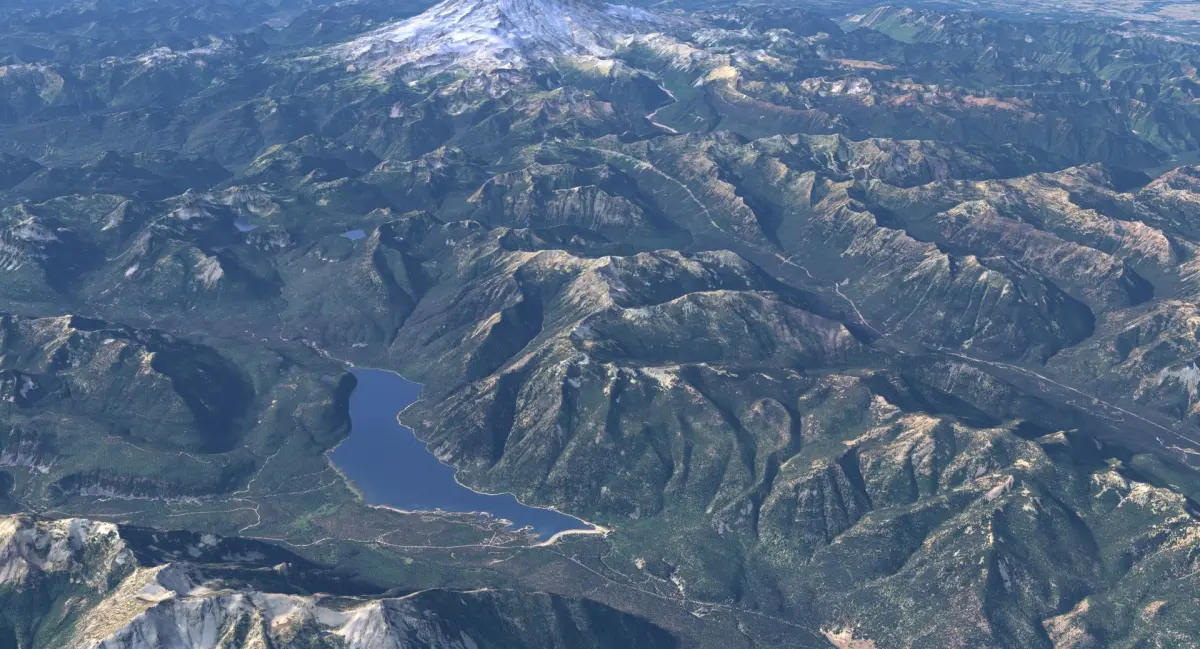
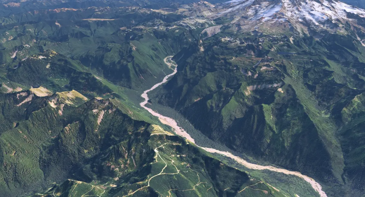
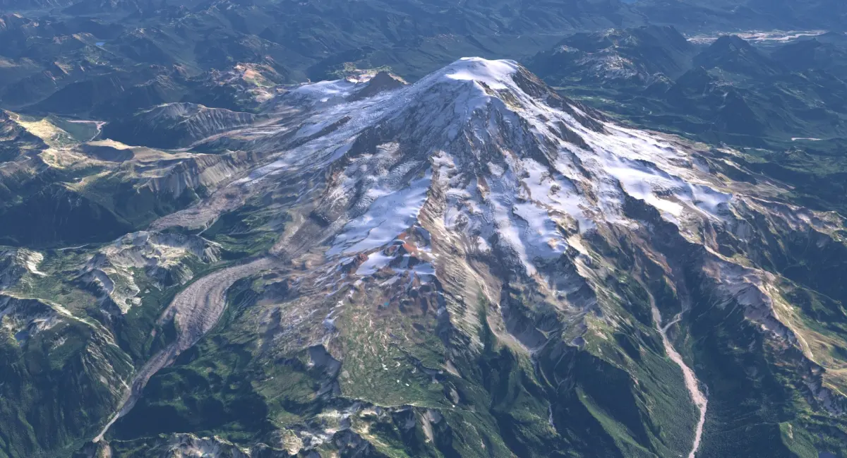
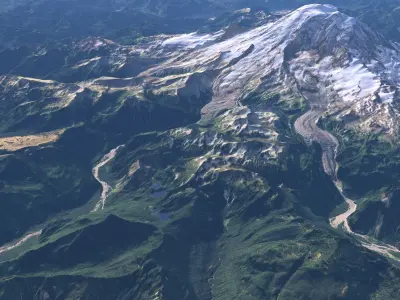
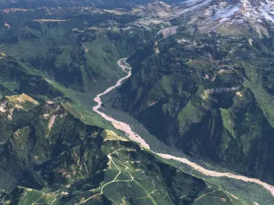
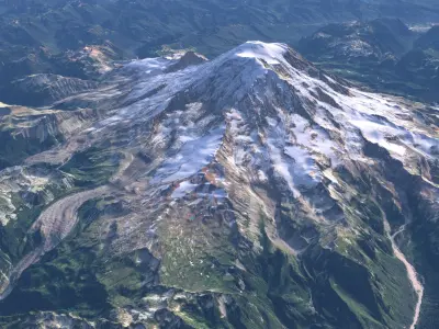
Buy Large Scale Terrain - Mount Rainier 3D model
$149
License: Editorial Uses Only
3D Model details
- turbosquid Platform
- Animated
- Rigged
- Ready for 3D Printing
- VR / AR / Low-poly
- PBR
- Textures
- Materials
- UV Mapping
- Polygons: 2036730
- Vertices: 1020833
- Geometry: Unknown
Find the models you need