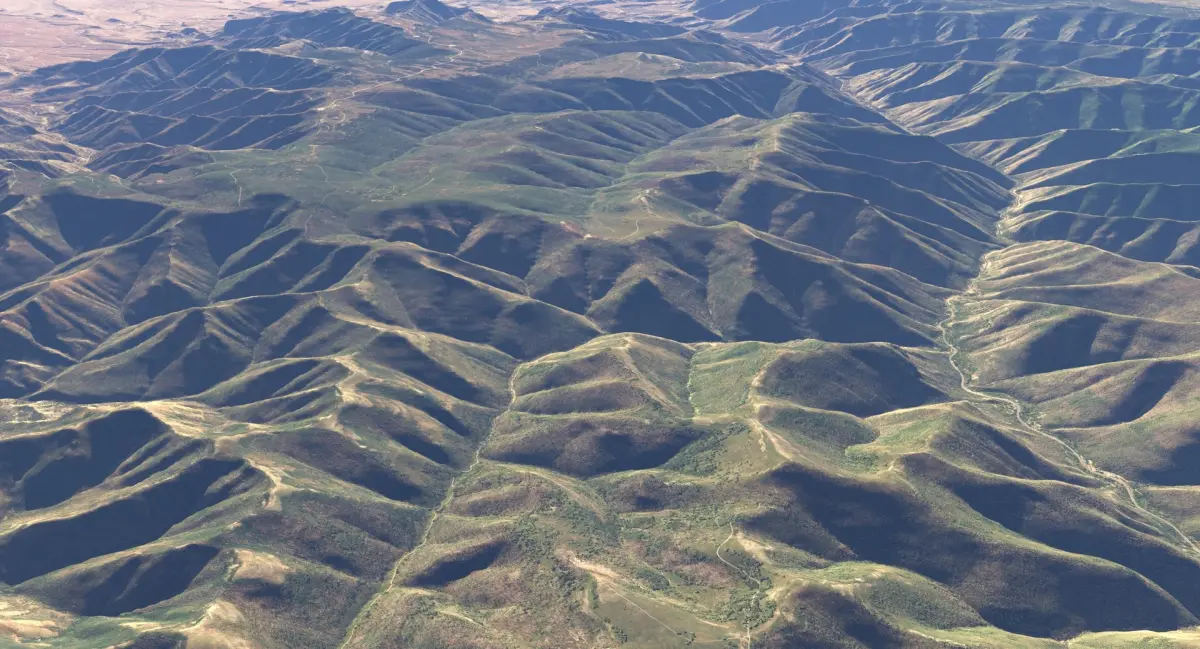
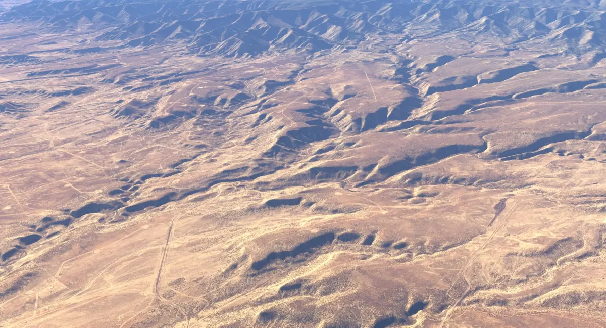
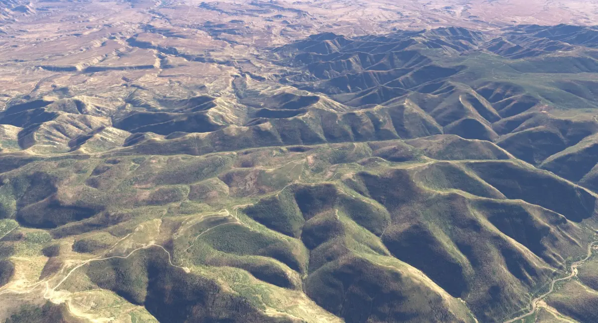
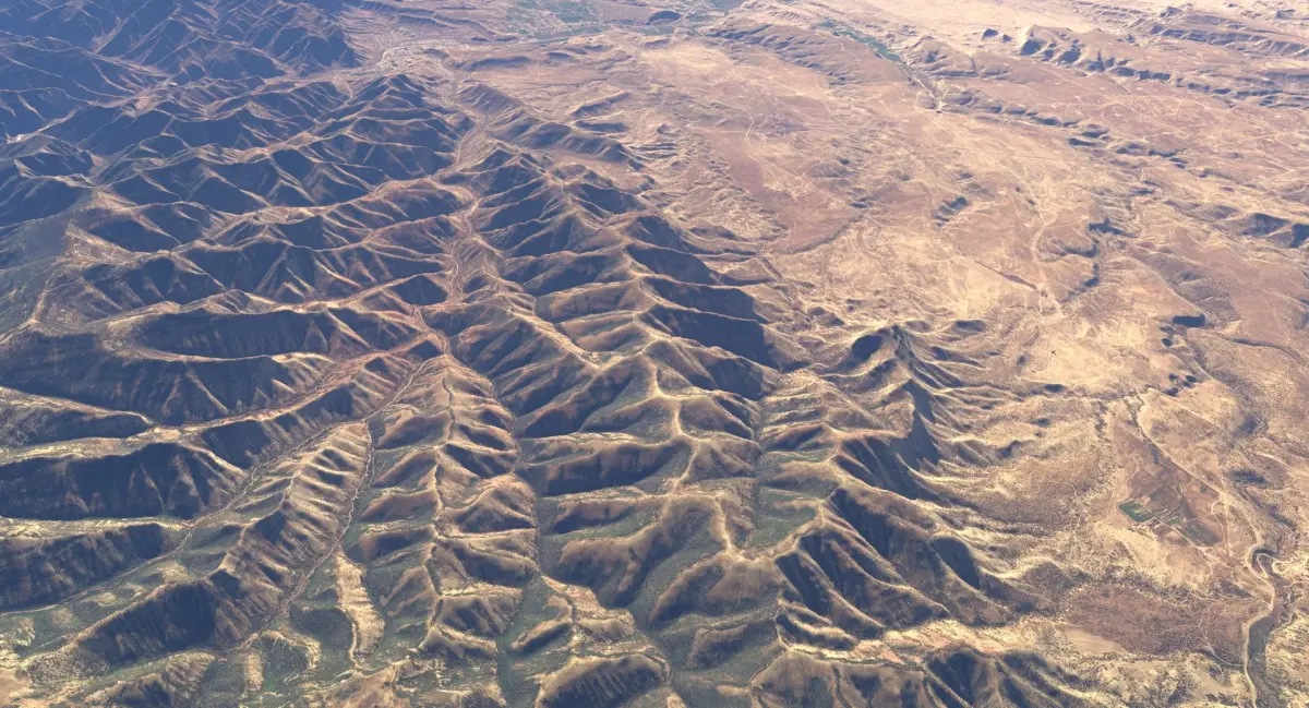
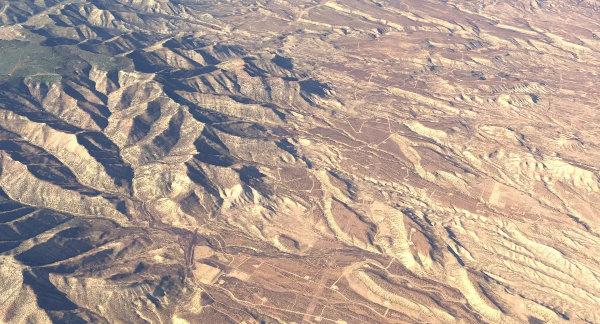
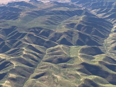
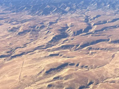
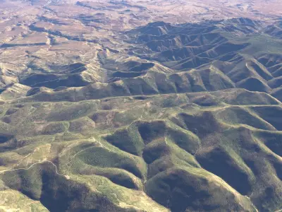
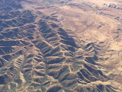
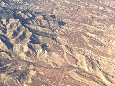
The model represents a large scale region from Utah, US. This region is bounded with approximation by Scofield in the north-west, Monument Peak and East Mountain in the west, Huntington and Cleveland in the south, Carbonville and Spring Glen in the east and Castle Gate in the North-East.
Excellent for presentations, aerial views or fly-through.The terrain comes with multiple mesh and texture resolutions that allows a great flexibility. For more details, please read the public description .pdf file from the preview section.
To keep the file size to a minimum, all the maps that are packed with the model are at the lowest resolution. They are very easy to be replaced with higher resolution ones.
============================================
FEATURES:
- 40 x 32 kilometers terrain area ( around 25 x 20 miles ) ;
- up to 40 k x 32 k texture resolution ;
- the fbx files have all the maps embedded at lowest resolution;
- all meshes are quads ;
- multiple options for the terrain mesh resolution from 1 to 8 million polygons ;
- all the .tiff maps are available;
- all the lights and atmospheric effects are included ;
- the model needs no subdivisions (though it is subdividable);
- the model measures about 10015 units in length and 8051 units in width.The units are centimeters (Maya).
============================================
MESH RESOLUTIONS:
- 2 043 842 (2 million) polygon faces mesh ;
OPTIONAL:
- 8 186 241 (8 million) polygon faces in fbx format;
- 6 138 320 (6 million) polygon faces in fbx format;
- 4 090 149 (4 million) polygon faces in fbx format;
- 952 816 (1 million) polygon faces in obj format;
If you need a higher resolution mesh simply import the corresponding obj file and drop the terrain material on it.
============================================
MAPS :
- 16384 x 20480 (16k) multi tiled color map ;
- 13107 x 16384 (16k) multi tiled normal map;
- 8192 x 4096 color map for the sky dome;
OPTIONAL :
- 32768 x 40960 (40 k) multi tiled color map;
- 26214 x 32768 (32k) multi tiled normal map;
The textures are in jpg file format at maximum quality.
The uncompressed .tiff files are available at highest resolution.
PRESENTATION IMAGES :
The presentation images were rendered using the highest resolution mesh and maps in V-Ray for Maya 2020 , except some images rendered with Arnold, 3ds max V-Ray or Blender Cycles which are labeled properly.
Native | Maya 2020 | V-Ray 6.0 3ds Max 2020 | V-Ray 6.0 Maya 2020 | Arnold 6.1 Blender 4.5 | Cycles Render FBX 2018