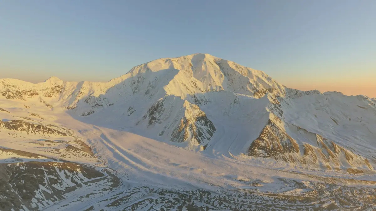
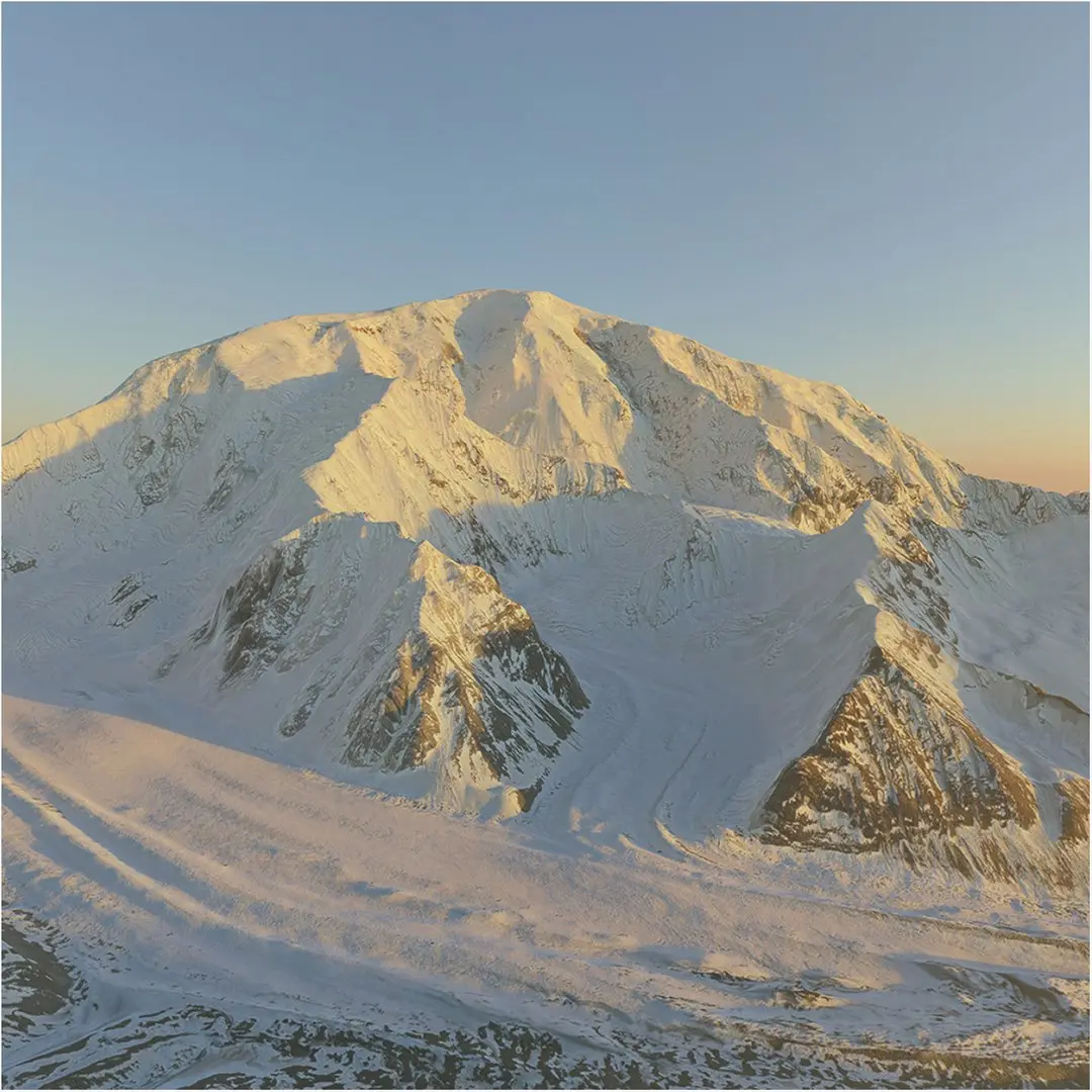
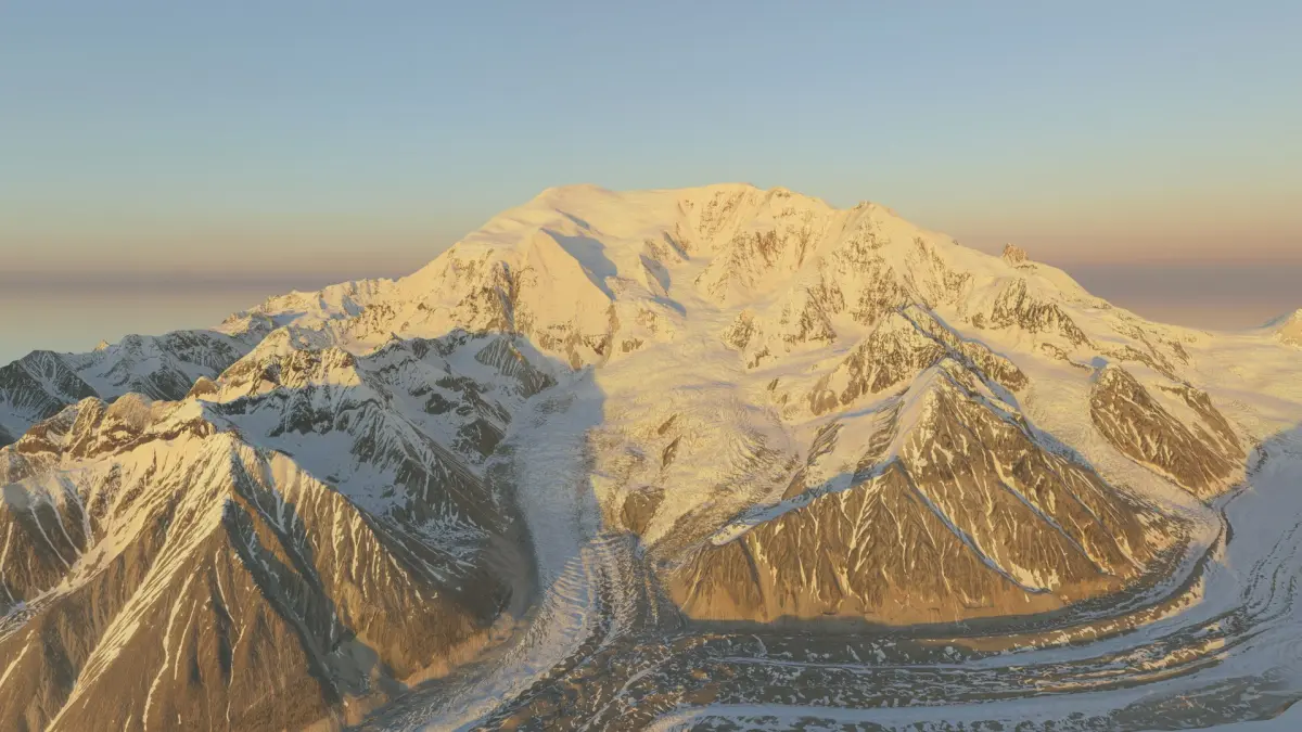
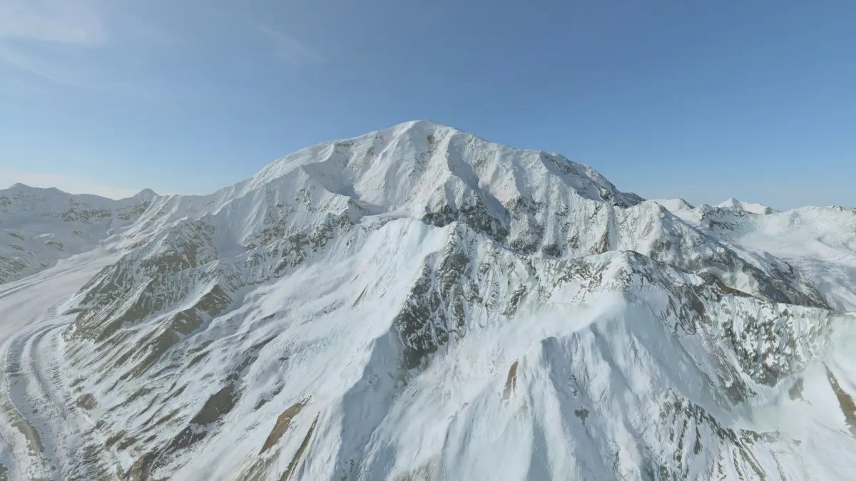
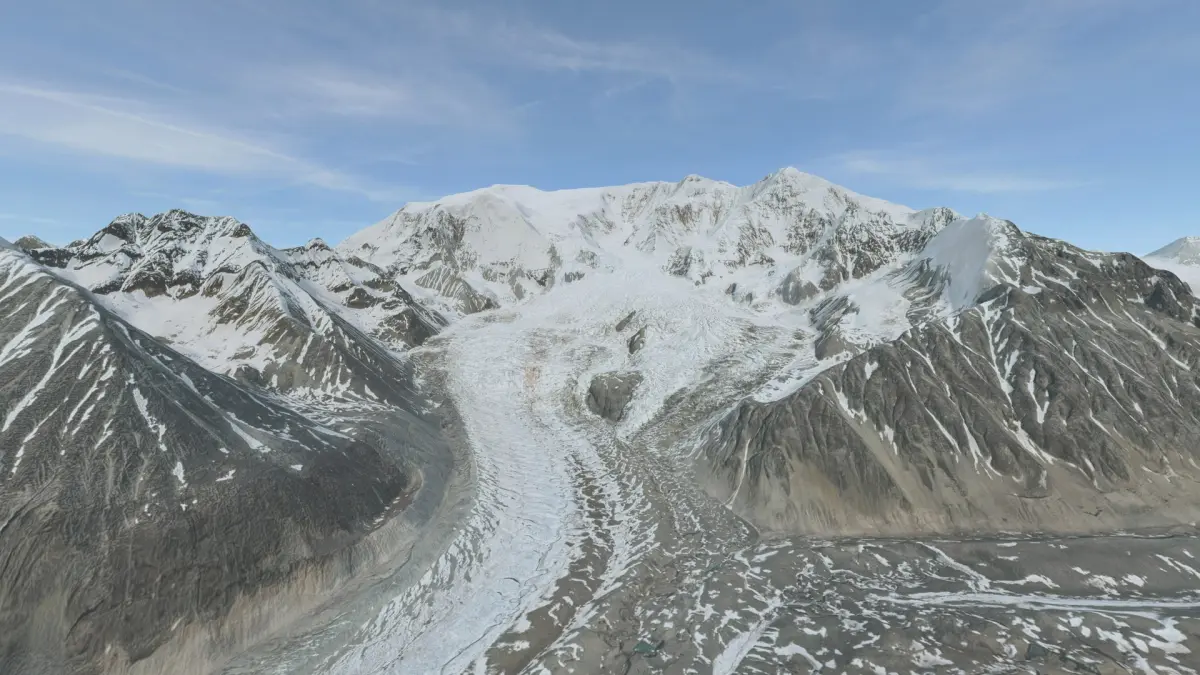
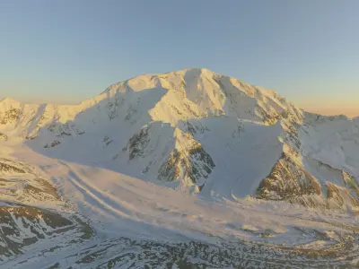
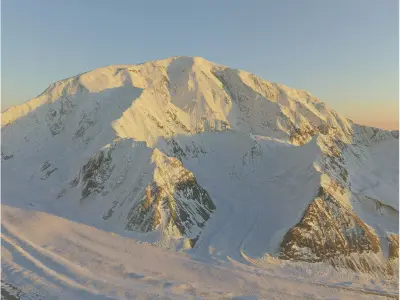
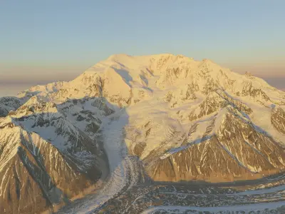
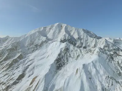
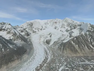
Mount Blackburn is fifth highest mountain in USA. The satmap is clean, without clouds and minimal shadows. I tried to pack a lot of tiny details as you can see on clay renders.
Technical Specifications
• Location: Alaska, Mount Blackburn
• Projection: EPSG:3338 - NAD83 / Alaska Albers
• Accuracy: 5.0 m per pixel
• Real world scale: 19.80 km x 19.80 km (12.30 miles x 12.30 miles)
• Highest point: 4987.06 m (16361.75 ft)
• Lowest point: 858.65 m (2817.09 ft)
• Relief: 4128.41 m (13544.65 ft)
• GPS coordinates are in the separate .txt file.
• For full control over the geometry, you can use the included height maps to create a mesh at any resolution you need.
Textures & Maps
16K Textures (Lossless PNG) optional, 8k (primary setup), 4k (optional), 2k (optional)
• BaseColor satellite
• Ambient Occlusion (AO)
• Roughness
• Metal
• Normal (OpenGL, Y+) (MikkTSpace)
Channel Packed (optional):
• ARM (Ambient Occlusion, Roughness, Metallic)
• ORM (Occlusion, Roughness, Metallic )
Height & Displacement (High-Bit Depth)
• Mesh height(displacement) map available as 16-bit PNG and 32-bit TIFF.
General Info
• Model is designed according to high standards and StemCell certified.
Note: Renders have no post-processing.
Want more terrains? Just click my username and use the search bar on my profile. I’m the 3D terrain specialist — National parks, mountains, valleys, maps, coasts, reliefs & custom landscapes and more.
Native | 3ds Max 2025 | V-Ray Blender 3.4 | Blender Render 3,4 Maya 2017 | Arnold 5.3.1.1 Maya 2015 | V-Ray 3.2 Cinema 4D R18 | Arnold 3.2 Cinema 4D R18 | Advanced Render 3.2 3ds Max 2015 | V-Ray 5.20.23 3ds Max 2018 | Arnold 7.0 FBX glTF USDz