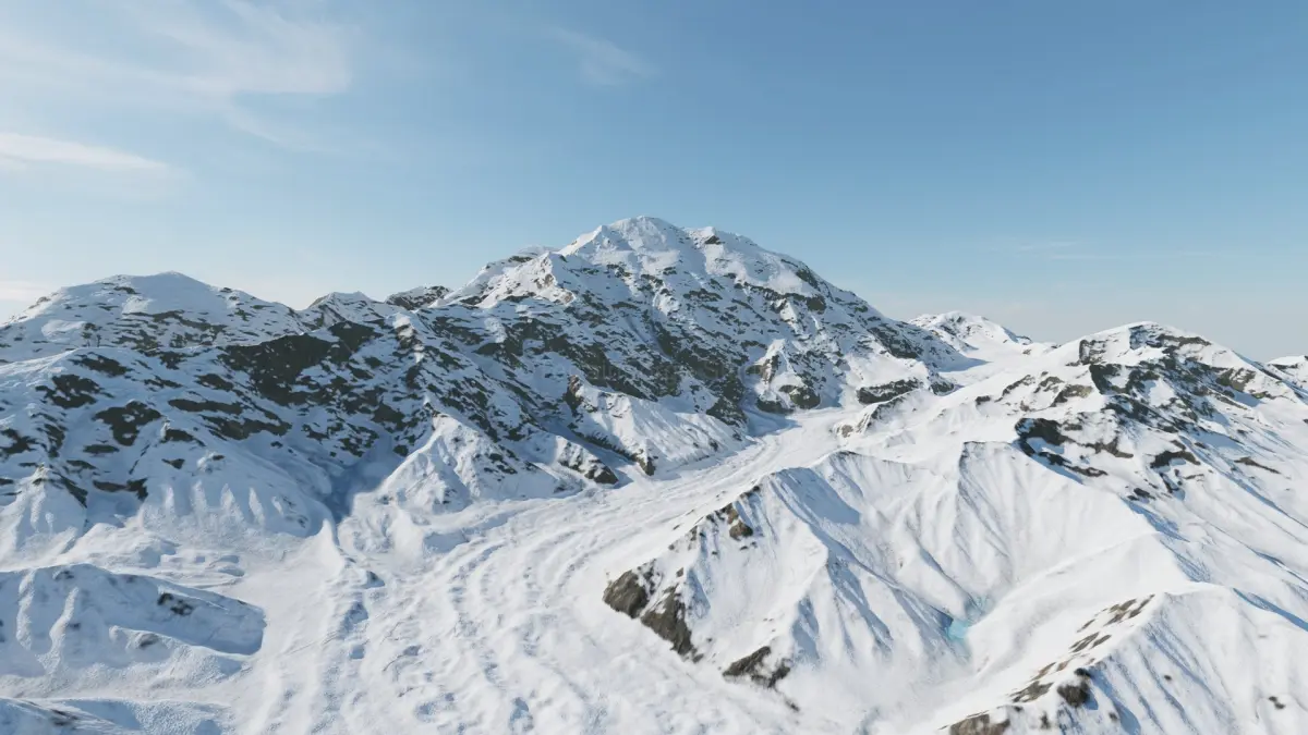
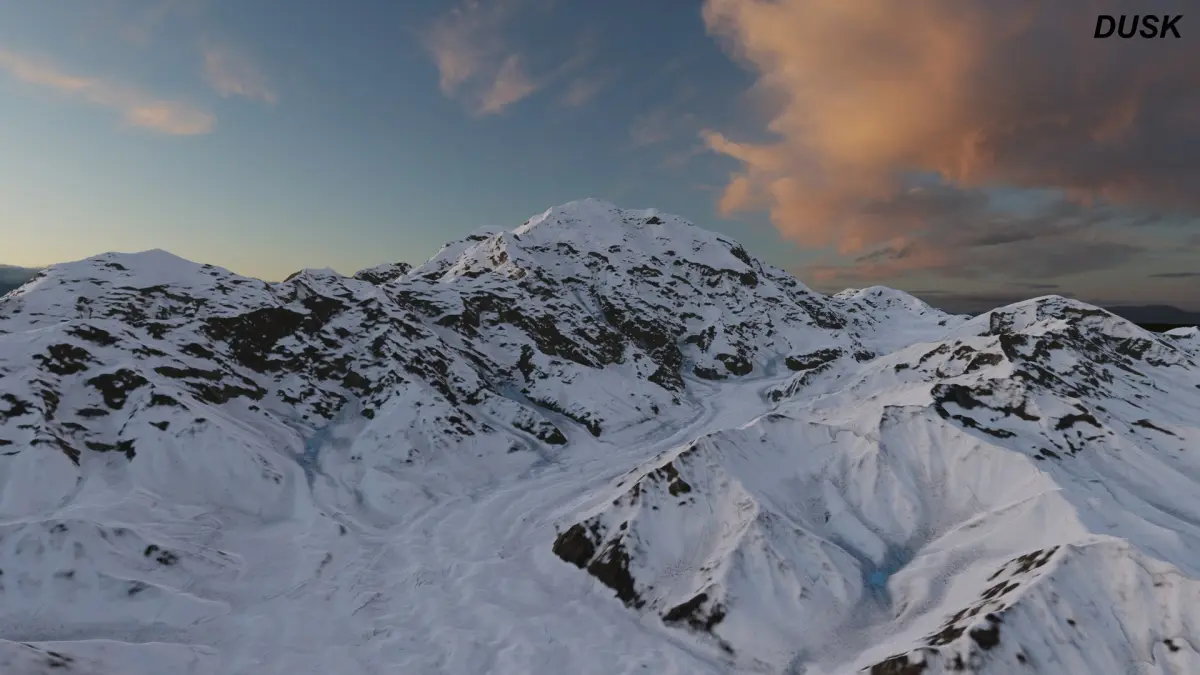
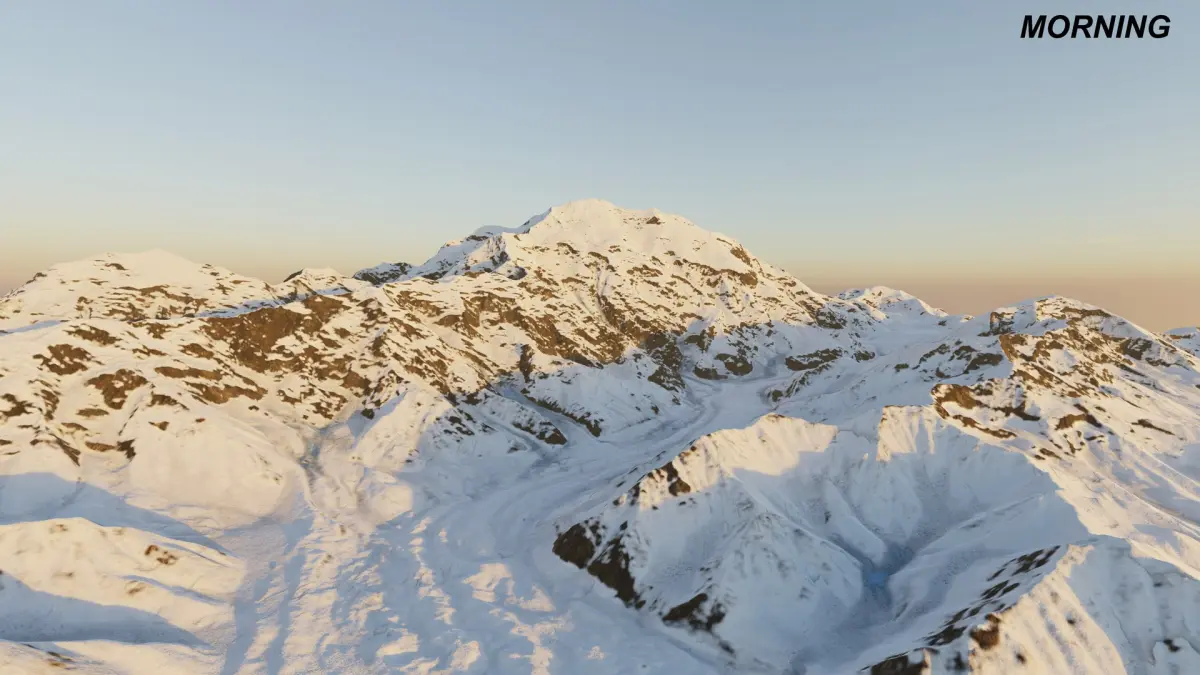
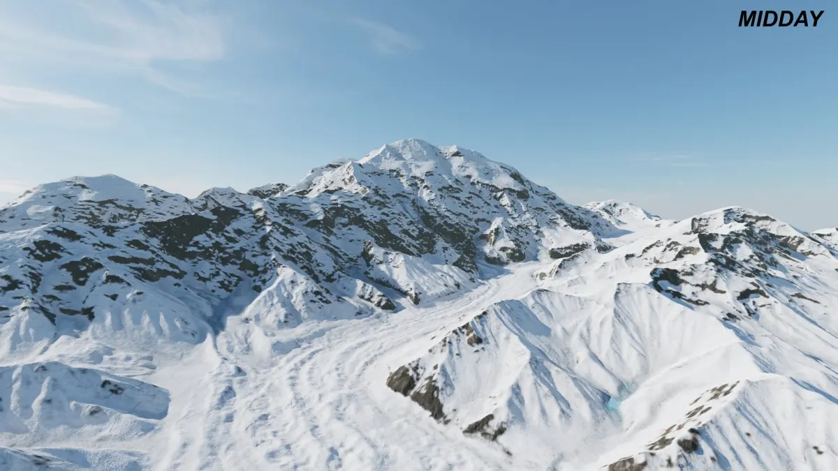
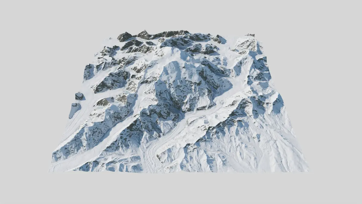
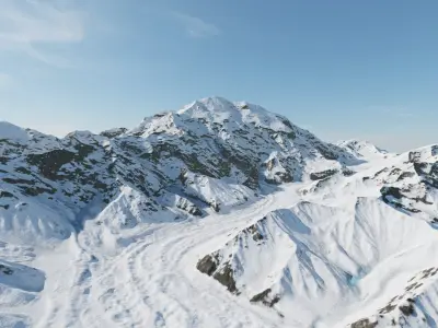
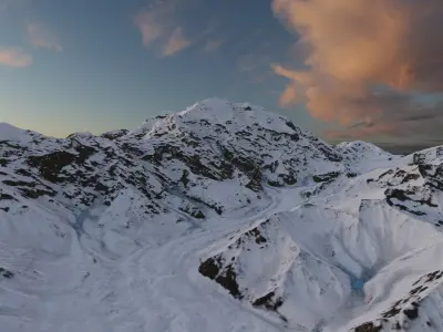
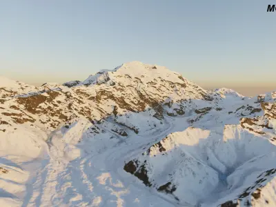
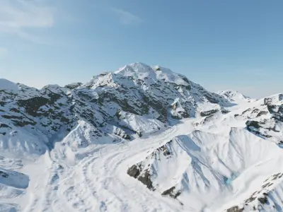
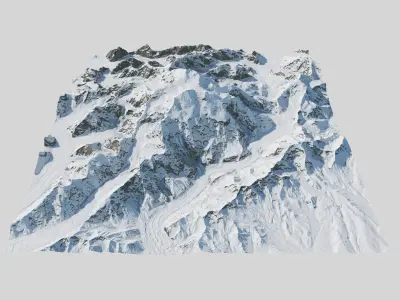
I created this model from high precision Dem data, so it is very precise, with geological features such as glaciers,... The textures are similar as in reality. Lots of snow, some glacial flow - ice in some places. Mount Denali is something special. It is highest US mountain, very snowy, from distant Alaska. Denali is cold, raw and beautiful.
Technical Specifications
• Location: Alaska, mountain Denali - McKinley area.
• Precision: 5m (Capturing intricate geological details.)
• Width: 28.1 km x 28.1 km (17.64 x 17.64 miles), Elevation: 6190m (20 308 feet).
• Mesh size is optimized for performance.
• Height maps are included if you to control number of polygons.
Textures & Maps (8K Resolution)
PBR Workflow Textures (Lossless PNG):
• BaseColor
• Ambient Occlusion (AO)
• Roughness
• Metal
• Normal (OpenGL, Y+)
Height & Displacement (High-Bit Depth)
• Macro Height map available as 16-bit PNG and 32-bit TIFF for maximum precision and artifact-free displacement.
Masks
• Includes a full set of Masks to easily modify textures, apply tiling materials, or add procedural details.
General Info
• Model is created according to Stem Cell certification criteria - standard and Stem Cell certified.
• Mostly rendered in real time renderer in standard lightning conditions without post processing. What you see is what you get.
• Designed for ease of use with no hassle. Just buy - download it, drop and render.
Want more terrains? Just click my username and use the search bar on my profile. I’m the 3D terrain specialist — National parks, mountains, valleys, maps, coasts, reliefs & custom landscapes ready to download.
Native | Blender 4.3 | Cycles Render Maya 2017 | Arnold 5.3.1.1 Maya 2015 | V-Ray 3.2 Blender 4.3 | Blender Render 3.4 Cinema 4D R18 | Arnold 3.2 Cinema 4D R18 | Advanced Render 3.2 3ds Max 2015 | V-Ray 5.20.23 3ds Max 2018 | Arnold 7.0 Blender 3.4 | Blender Render 3,4 FBX glTF USDz