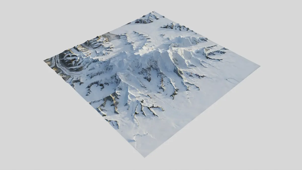
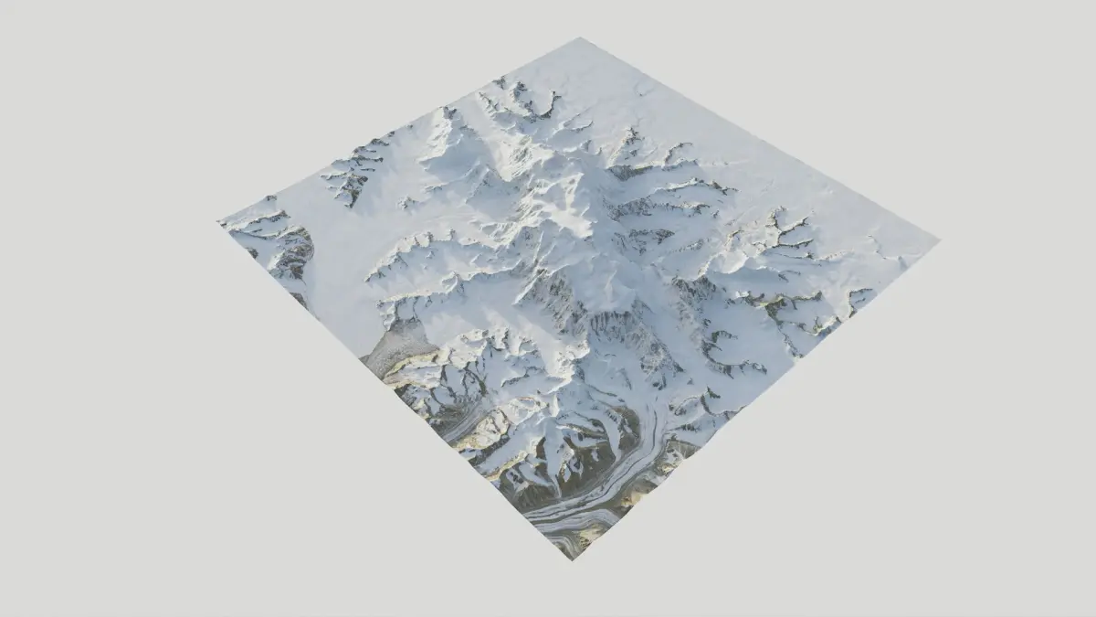
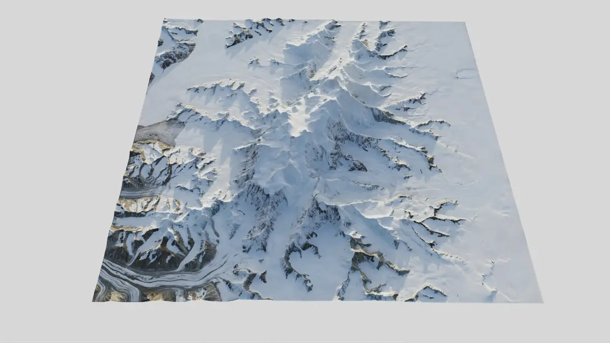
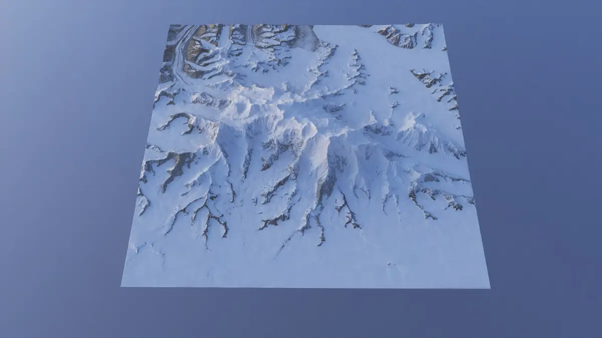
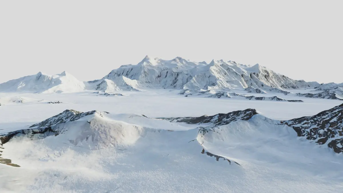
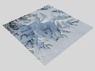
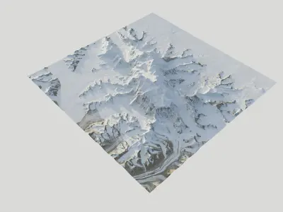
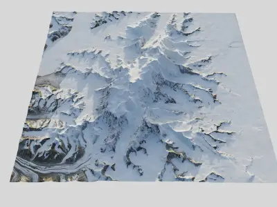
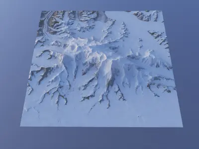
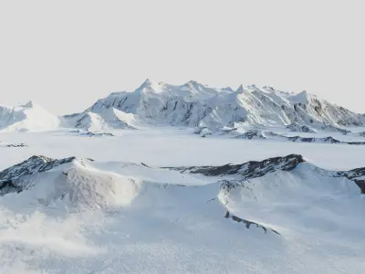
Mount Logan is the highest mountain in Canada and the second-highest peak in North America after Denali (McKinley).
The textures are high resolution (16k), clean without clouds, delighted (no shadows).
Technical info
• Projection: EPSG:3413 - WGS 84 / NSIDC Sea Ice Polar Stereographic North
• Accuracy: 2.0 m per pixel
• Real world scale: 40.41 × 40.41 km (25.11 × 25.11 miles)
• Highest point: 5948.61 m (19516.44 ft)
• Lowest point: 1689.99 m (5544.59 ft)
• Relief: 4258.62 m (13971.85 ft)
• Data type: Float32 (32-bit float)
GPS coordinates are in the separate .txt file.
Geometry
• Multiple mesh densities to choose from.
• 4,2 Mil, 400k (primary setup, optimized), 40k (optimized
Textures & Maps (Lossless 8bit PNGs)
16K Textures (optional), 8k (primary setup), 4k (optional), 2k (optional)
• BaseColor satellite
• Ambient Occlusion (AO)
• Roughness
• Metal
• Normal (OpenGL, Y+) (MikkTSpace)
Channel Packed (optional):
• ORM (Occlusion, Roughness, Metallic )
Height & Displacement (High-Bit Depth)
• Mesh height(displacement) map available as 16-bit PNG and 32-bit TIFF.
General Info
• Model is designed according to high standards and StemCell certified.
Note: Renders have no post-processing.
Want more terrains? Just click my username and use the search bar on my profile. I’m the 3D terrain specialist — National parks, mountains, valleys, maps, coasts, reliefs & custom landscapes and more.
Native | 3ds Max 2025 | V-Ray Blender 3.4 | Blender Render 3,4 Maya 2017 | Arnold 5.3.1.1 Maya 2015 | V-Ray 3.2 Cinema 4D R18 | Arnold 3.2 3ds Max 2015 | V-Ray 5.20.23 3ds Max 2018 | Arnold 7.0 FBX glTF USDz